
 ❤️ Tourism Tasmania
Two weeks in Tasmania: a Spirit of Tasmania road-trip loop

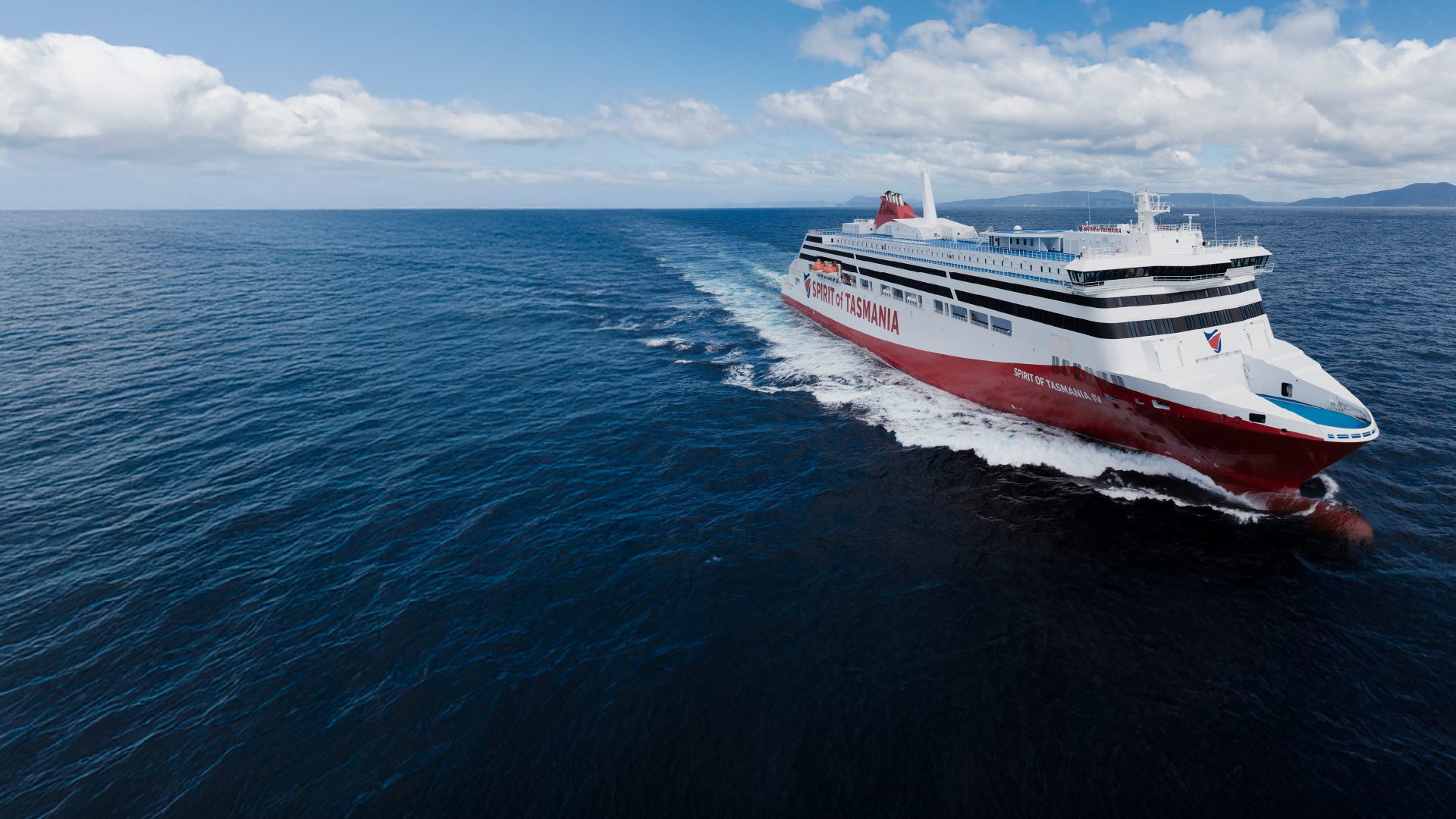
Bring the vehicle across Bass Strait, then spend fourteen days looping from Devonport through the east coast, Hobart, Cradle Mountain and Strahan, returning to the Spirit of Tasmania terminal for the night sailing home.

By Dan Wild · Last reviewed 20 August 2026
What to expect
- Sail into Devonport, then loop the island back to the same terminal
- East-coast granite and Wineglass Bay, then Hobart and the Tasman Peninsula
- Cradle Mountain and the Gordon River before the sailing home
Two nights at most bases, three in Hobart so Port Arthur can be a day trip, and a short first day after the night sailing. The inland run to Cradle Mountain is the big driving day.
Route at a glance
1.Devonport
Start pointStep off the Spirit in East Devonport and point the vehicle toward the Tamar.
Next: Launceston · 100 km · 1 hr 7 min · National Highway 1, Bass Highway
2.Launceston
2 nights recommendedTasmania's northern city, with a river gorge a walk from the centre.
Next: St Helens · 165 km · 2 hr 1 min · National Highway 1, Esk Highway, A4
3.St Helens
2 nights recommendedThe east coast's largest town, the base for the southern Bay of Fires, and the Flagstaff mountain-bike trails.
Next: Coles Bay · 114 km · 1 hr 31 min · Tasman Highway, A3, Coles Bay Road, C302
4.Coles Bay
2 nights recommendedThe gateway to Freycinet: pink-granite peaks, white beaches and Wineglass Bay.
Next: Hobart · 193 km · 2 hr 33 min · Coles Bay Road, C302, Tasman Highway, A3
5.Hobart
3 nights recommendedThe harbour capital, with a Tasman Peninsula day that does not need a seventh overnight.
Next: Cradle Mountain · 321 km · 3 hr 57 min · National Highway 1, Cradle Mountain Road
6.Cradle Mountain
2 nights recommendedAlpine lakes and button-grass under Cradle Mountain.
Next: Strahan · 140 km · 1 hr 49 min · Cradle Mountain Road, Murchison Highway, A10, B27
7.Strahan
2 nights recommendedMacquarie Harbour and the Gordon River, with Ocean Beach just beyond town.
Next: Devonport · 226 km · 2 hr 48 min · Murchison Highway, A10, Bass Highway, National Highway 1
8.Devonport
Trip ends hereReturn to East Devonport for the night sailing back to Geelong.
Day plan
Devonport to Launceston
Come off the night sailing in East Devonport and make the short sealed run to Launceston. Keep the afternoon for the gorge rather than stacking another highway day onto the crossing.
Overnight in Launceston
Places to stay near Launceston
/fit-in/1920x0/property-images/207/68621ede-20260615044156Z-Screenshot%202026-06-15%20at%202.40.41%E2%80%AFpm.png)
/fit-in/1920x0/property-images/207/09a00cea-20260615044156Z-709863887_1586649640133749_6274947635210933466_n.jpg)
/fit-in/1920x0/property-images/207/41fc43d9-20260225024223Z-BIG4-Launceston-Jumpingpillow.jpg)
/fit-in/1920x0/property-images/207/BIG4-Launceston-Condo-03-1050x700.jpg)
/fit-in/1920x0/property-images/207/0bab08a9-20260225024052Z-BIG4-Launceston-TamarVillas.jpg)
Highlights
- Bass Strait behind you, the Tamar ahead
- A harbour-city afternoon after the crossing
Driving details(1 leg)
Devonport → Launceston
100 km · 1 hr 7 min · National Highway 1, Bass Highway
Sealed public road on the selected base route.
Drive time excludes Spirit check-in, unloading and current delays.
Launceston
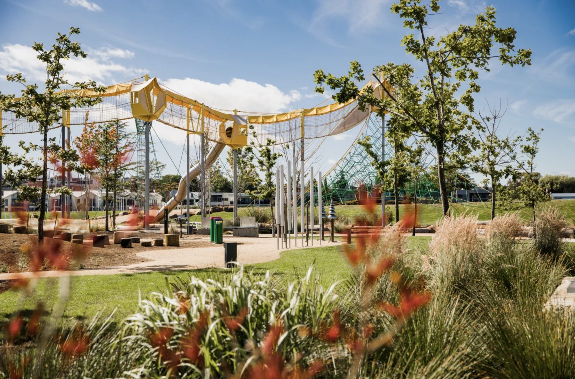
Stay in Launceston. Cataract Gorge, QVMAG and City Park are all in town.
Overnight in Launceston
Highlights
- The South Esk cutting through the middle of town
- Museum rooms and a city park within walking distance
Things to do
Cataract Gorge
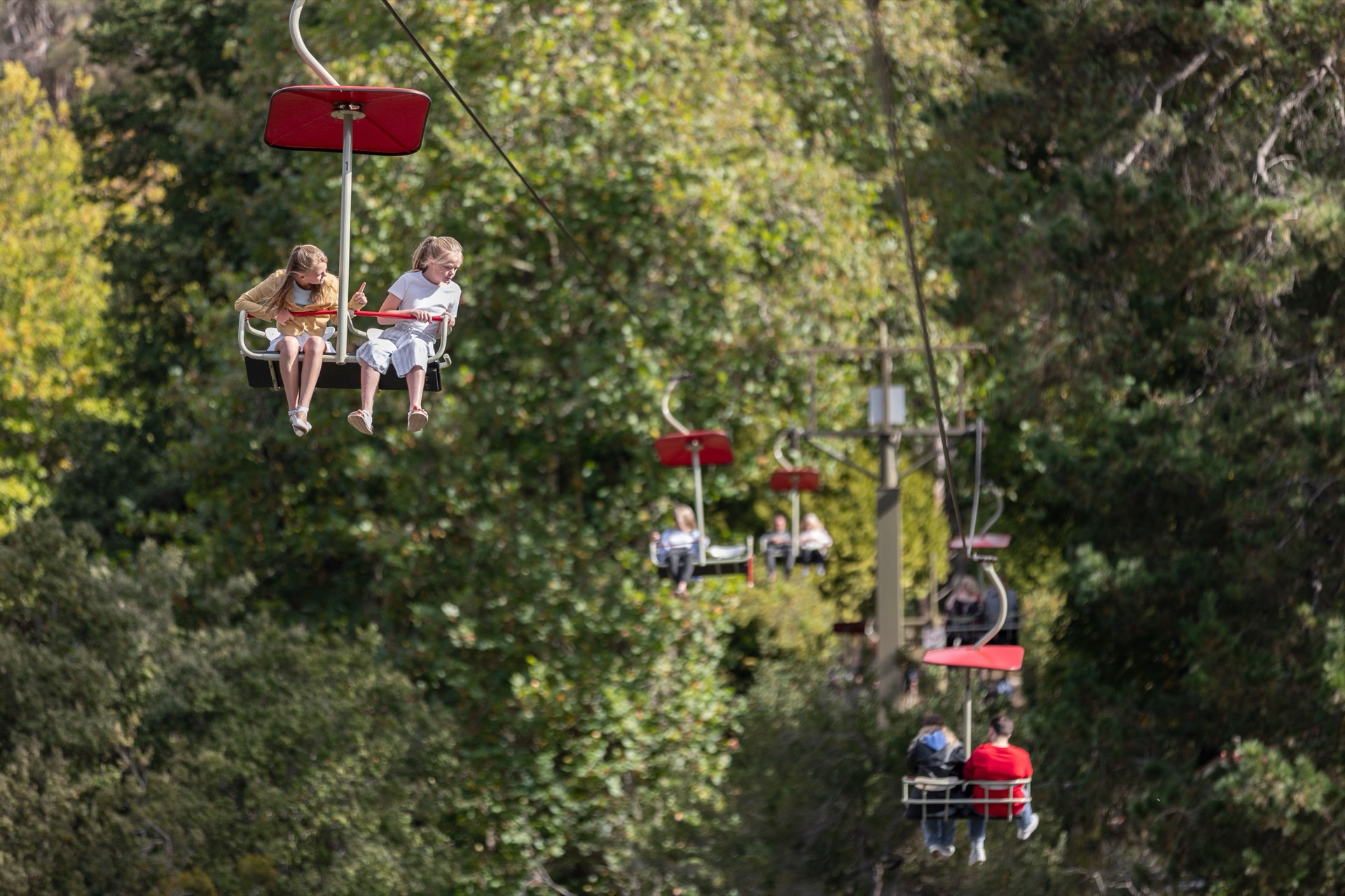
A river gorge with walking tracks, a chairlift and gardens a short way from central Launceston.
Queen Victoria Museum and Art Gallery
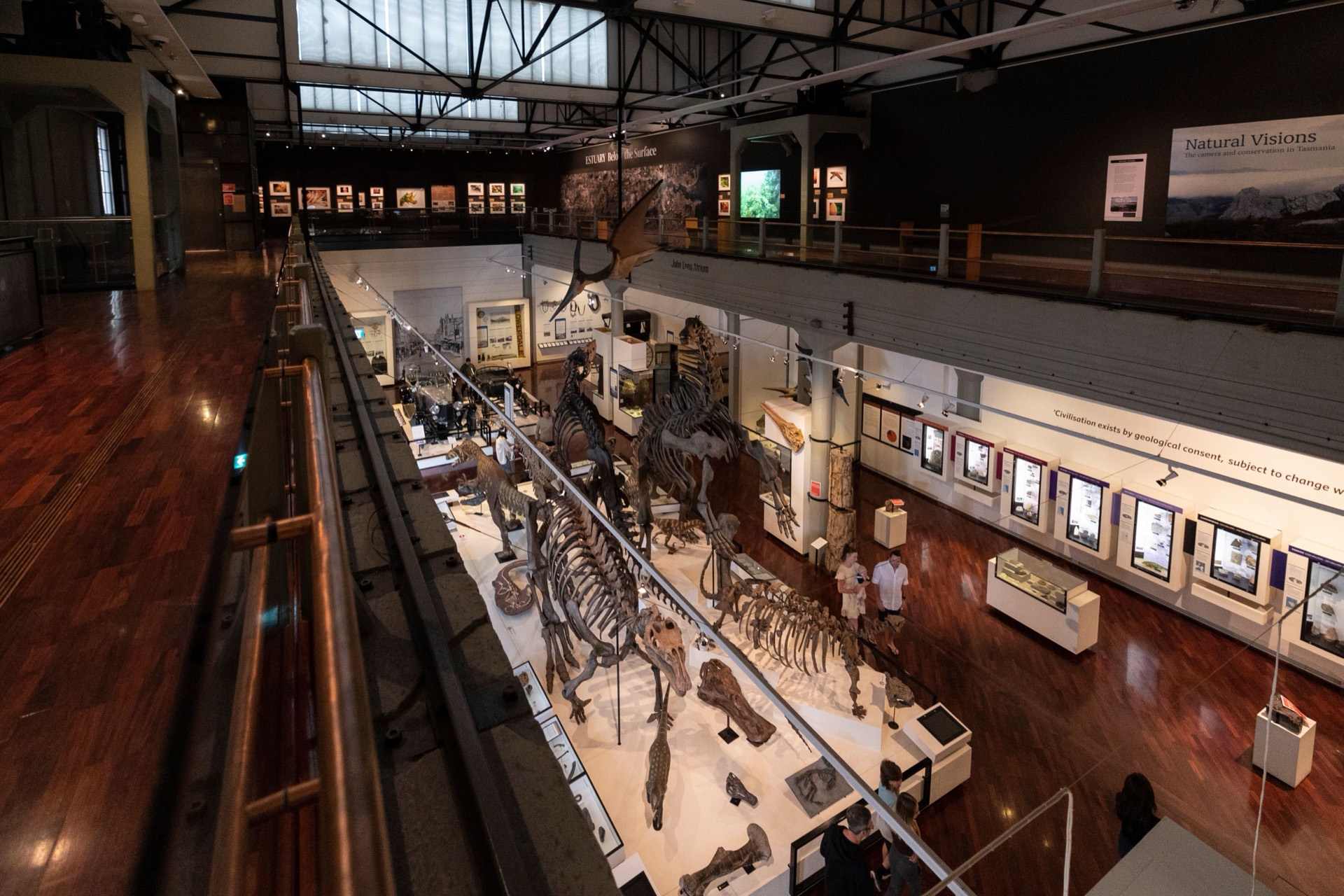
Launceston's museum and art gallery, split between Inveresk and Royal Park. Check which sites are open before you go.
City Park
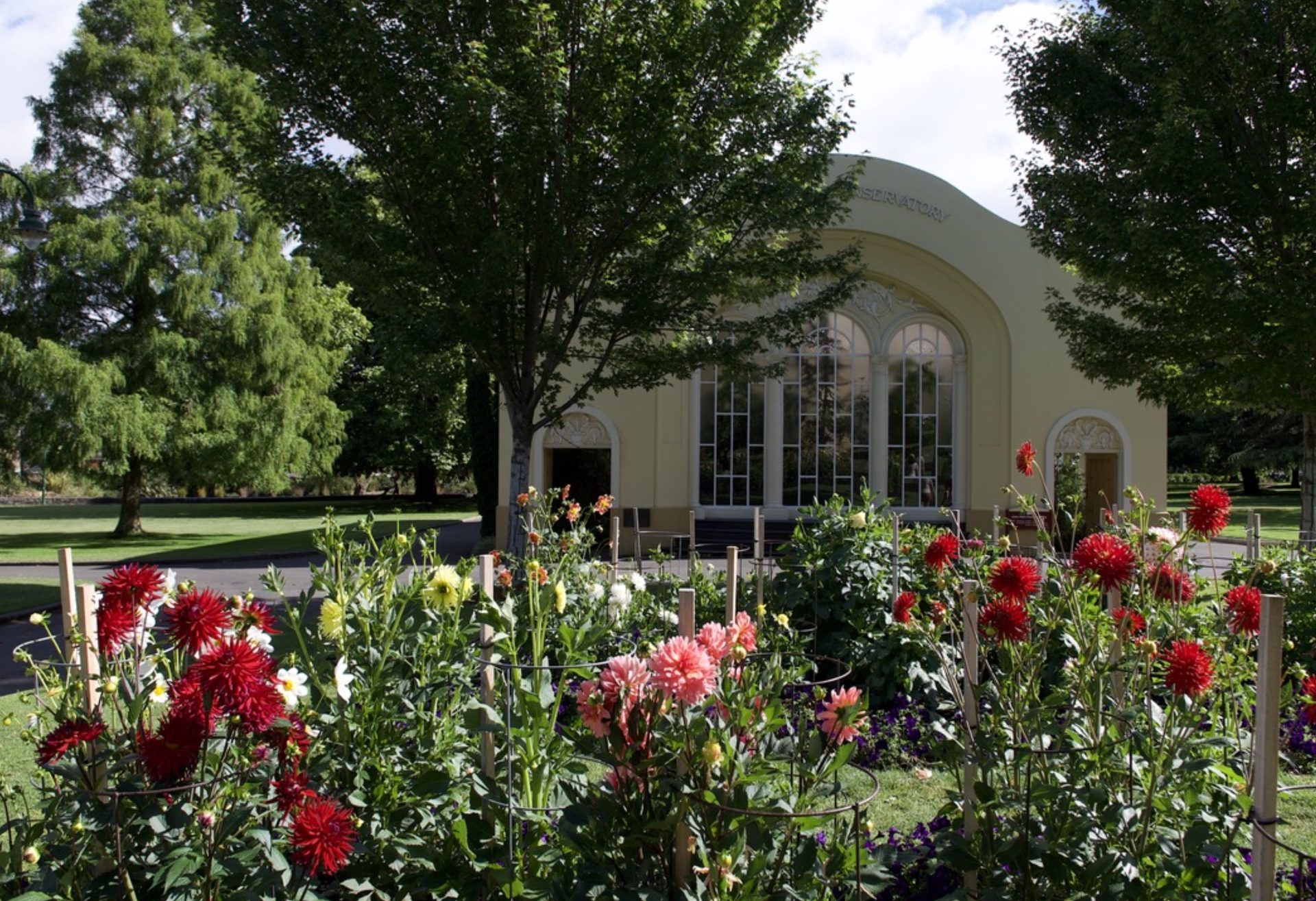
A central park with the John Hart Conservatory, gardens and a macaque enclosure.
Launceston to St Helens
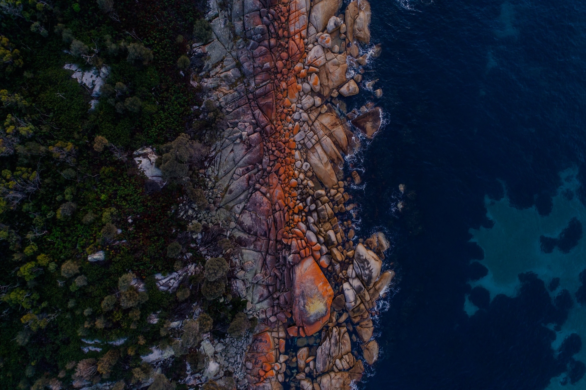
Turn east over the Esk Highway toward St Helens. The Bay of Fires can wait for tomorrow so this day can be the inland-to-coast change of scene.
Overnight in St Helens
/fit-in/1920x0/property-images/46/03916_dsf1967-lores.jpg)
/fit-in/1920x0/property-images/46/43c34df1-20260624010036Z-599508775.jpg)
/fit-in/1920x0/property-images/46/54df5605-20260624010038Z-506957620.jpg)
/fit-in/1920x0/property-images/46/a525d36a-20260624010032Z-506958488.jpg)
/fit-in/1920x0/property-images/46/d9f3d812-20260624010027Z-506957624.jpg)
/fit-in/1920x0/property-images/49/aerial-view-of-thp-st-helens.jpg)
Highlights
- Leave the Tamar for orange-lichened granite and pale sand
Driving details(1 leg)
Launceston → St Helens
165 km · 2 hr 1 min · National Highway 1, Esk Highway, A4
Sealed public road on the selected base route.
Drive time excludes Sideling or Bay of Fires stops and current delays.
Bay of Fires from St Helens
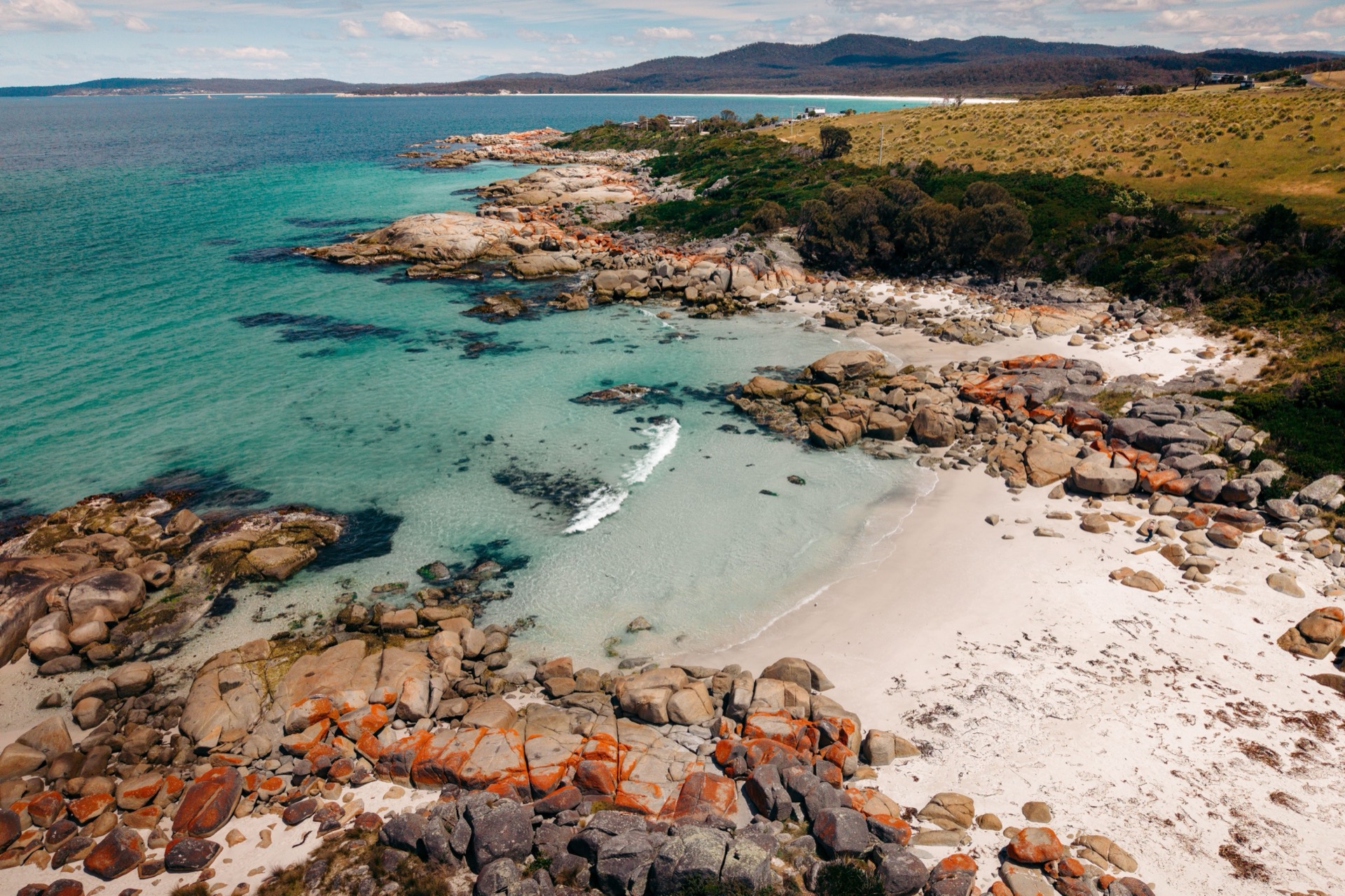

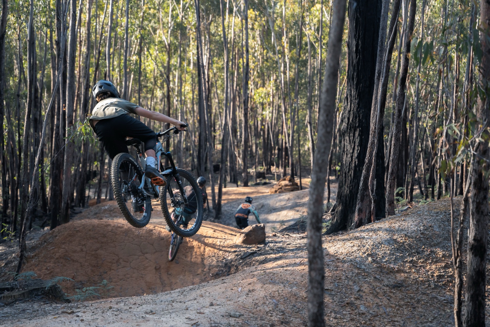
Use St Helens as the base for Binalong Bay and the southern Bay of Fires, or ride the mountain-bike trails south of town. Check Parks Tasmania before you choose which beaches are open, and the trail site before you ride.
Before heading out from St Helens, check Parks Tasmania for current Bay of Fires access and any temporary restrictions. Check current updates
Overnight in St Helens
Highlights
- Orange lichen, pale sand and clear water
- Stacked loops on Flagstaff Road if you'd rather ride
Things to do
Binalong Bay
The main southern gateway to the Bay of Fires: granite, lichen and clear water north of St Helens.
The Gardens
A further stretch of orange-lichened granite north of Binalong Bay, still reached from a St Helens overnight.
St Helens Mountain Bike Trails
Stacked loops south of town from the Flagstaff Road trailhead, plus a longer wilderness trail toward the Bay of Fires. Check the official trail site before you ride.
St Helens to Coles Bay
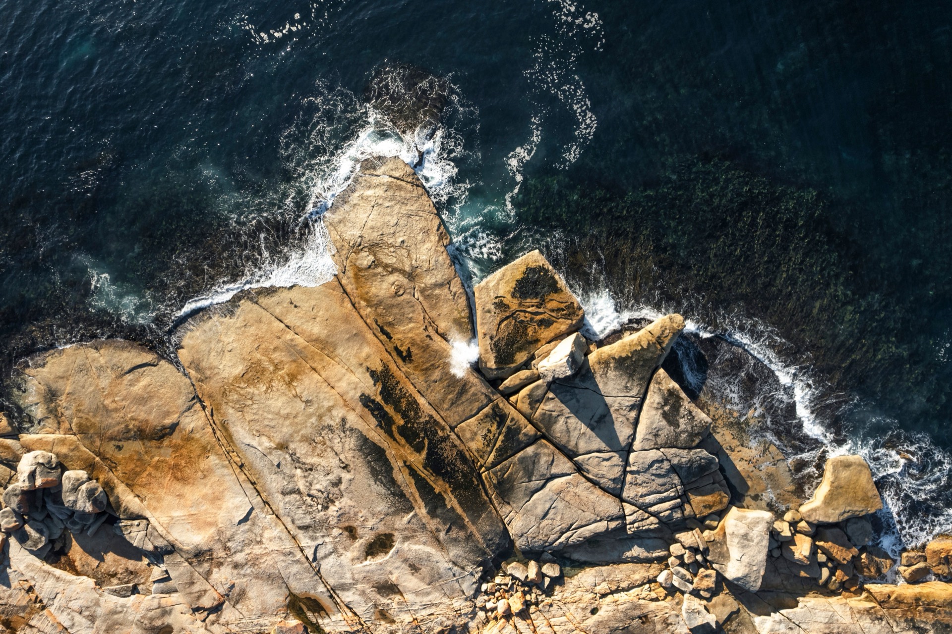
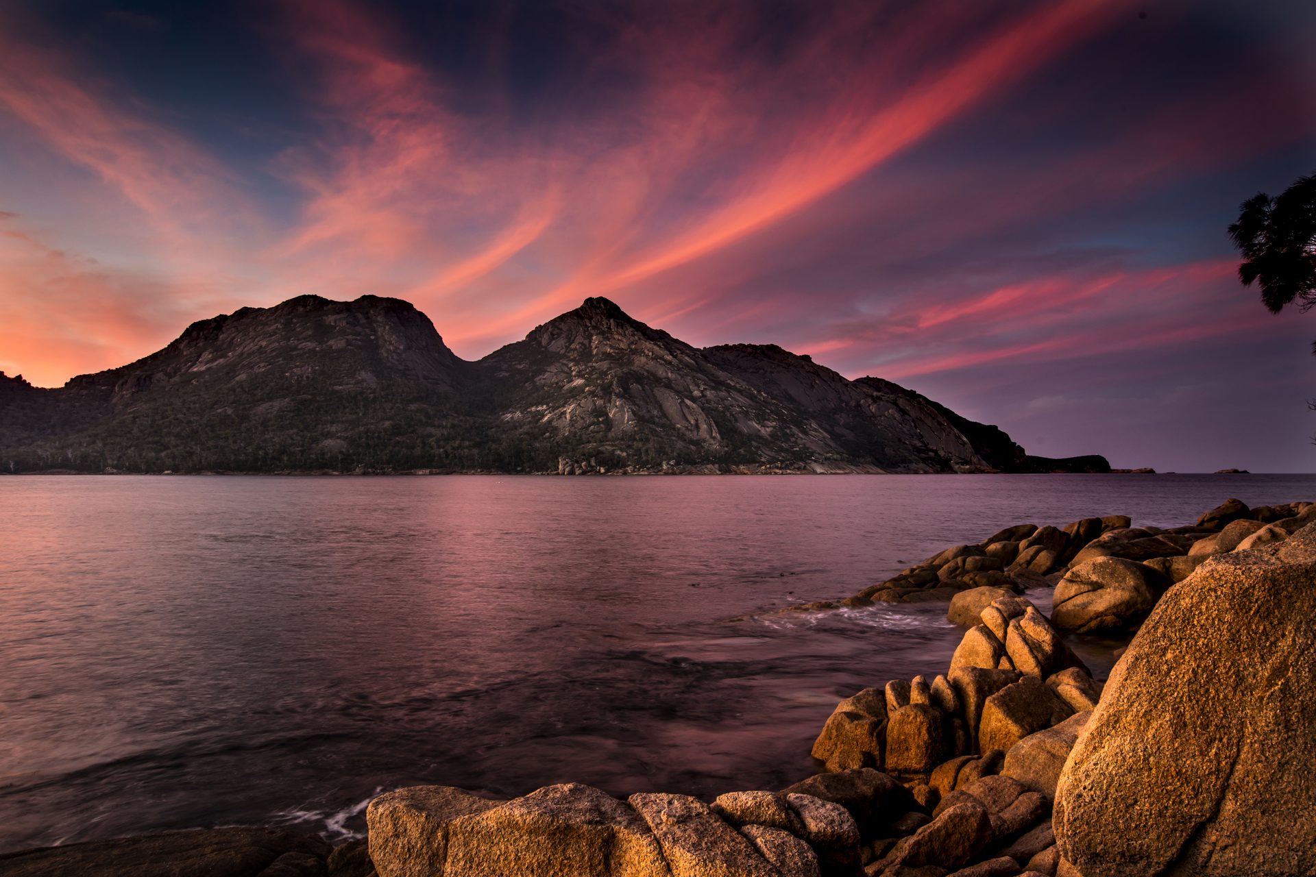
Follow the Tasman Highway south through Bicheno toward Freycinet. The blowhole is a short pause if the swell is up; keep the lookout for tomorrow.
Overnight in Coles Bay
/fit-in/1920x0/property-images/332/97596b09-20260728092154Z-cbi-1249%20(1).jpeg)
/fit-in/1920x0/property-images/332/3133324d-20260728092152Z-cbi-1070%20(1).jpeg)
/fit-in/1920x0/property-images/332/rs---wineglass-bay-credit-matt-donovan_1.jpg)
/fit-in/1920x0/property-images/332/4a7a0096-20260728092147Z-cbi-2026.jpeg)
/fit-in/1920x0/property-images/332/9910075c-20260728092149Z-cabin-160-883-pano%20(1).jpeg)
Highlights
- Pink granite gathering on the horizon toward Freycinet
Driving details(1 leg)
St Helens → Coles Bay
114 km · 1 hr 31 min · Tasman Highway, A3, Coles Bay Road, C302
Sealed public road on the selected base route.
Drive time excludes Bicheno or Freycinet stops and current delays.
Stops along the way
Bicheno Blowhole
A short coastal stop in Bicheno where swell forces through a granite cleft beside the Tasman Highway.
Freycinet from Coles Bay
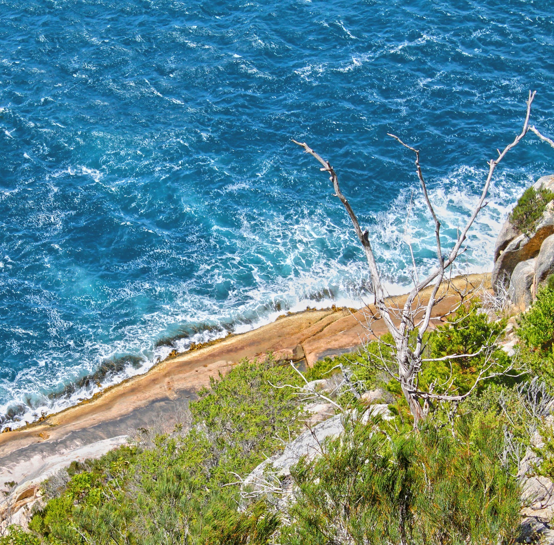
A full Freycinet day from Coles Bay. The Wineglass Bay lookout is the classic walk; Cape Tourville is the boardwalk alternative when you want the view without the climb. Check park access first.
Confirm current Freycinet National Park access before choosing walks or heading to the Wineglass Bay lookout. Check current updates
Overnight in Coles Bay
Highlights
- Wineglass Bay's curve from the Hazards
- A lighthouse boardwalk over granite and sea
Things to do
Wineglass Bay Lookout
Climb through the Hazards to the lookout; Parks Tasmania suggests 60 to 90 minutes for the return walk.
Cape Tourville Lighthouse
A short boardwalk to a lighthouse lookout over Freycinet's east-facing granite coast.
Coles Bay to Hobart
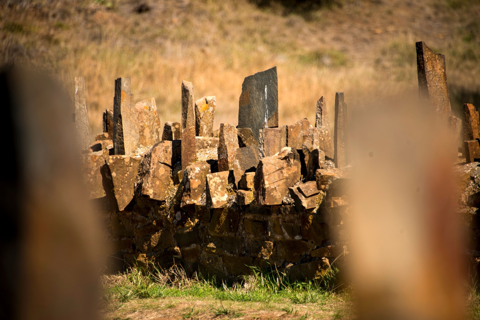
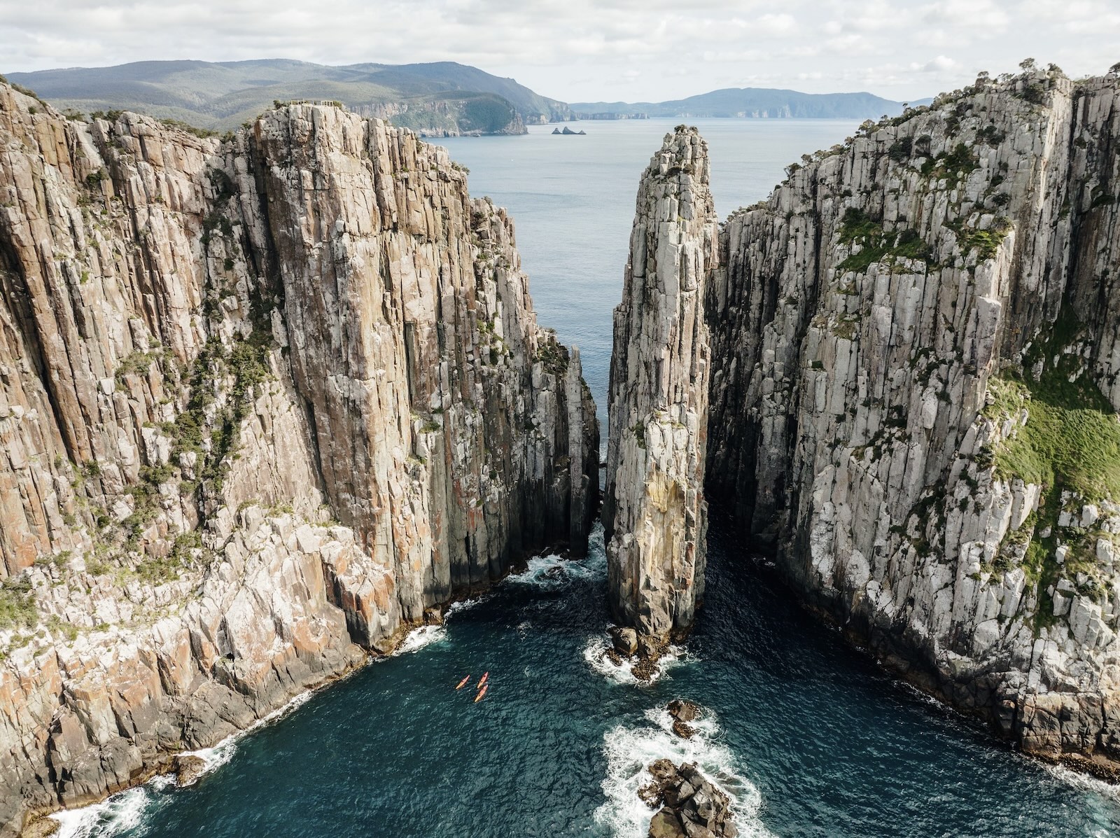
Drop south along the Tasman Highway into Hobart. Spiky Bridge is a brief convict-stone pause near Swansea. Keep Port Arthur for a later Hobart day.
Overnight in Hobart

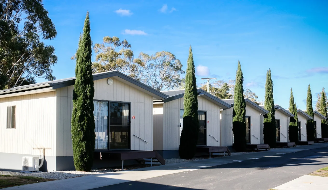
/fit-in/1920x0/property-images/211/2dfd3977-20260213045442Z-big4-hobart-5.jpg)
/fit-in/1920x0/property-images/211/f46cab75-20260428061722Z-psites-0%20(1).jpg)
/fit-in/1920x0/property-images/211/a0de0ea3-20260213045442Z-big4-hobart-6.jpg)
/fit-in/1920x0/property-images/28/e5ee99c0-20260304090741Z-snug3.jpg)
Highlights
- White beaches giving way to the Derwent and sandstone warehouses
Driving details(1 leg)
Coles Bay → Hobart
193 km · 2 hr 33 min · Coles Bay Road, C302, Tasman Highway, A3
Sealed public road on the selected base route.
Drive time excludes Swansea or east-coast stops and current delays.
Stops along the way
Spiky Bridge
A brief roadside pause at the convict-built stone bridge south of Swansea.
Salamanca Place
Walk the sandstone warehouse precinct beside Hobart's waterfront.
Hobart, MONA and kunanyi
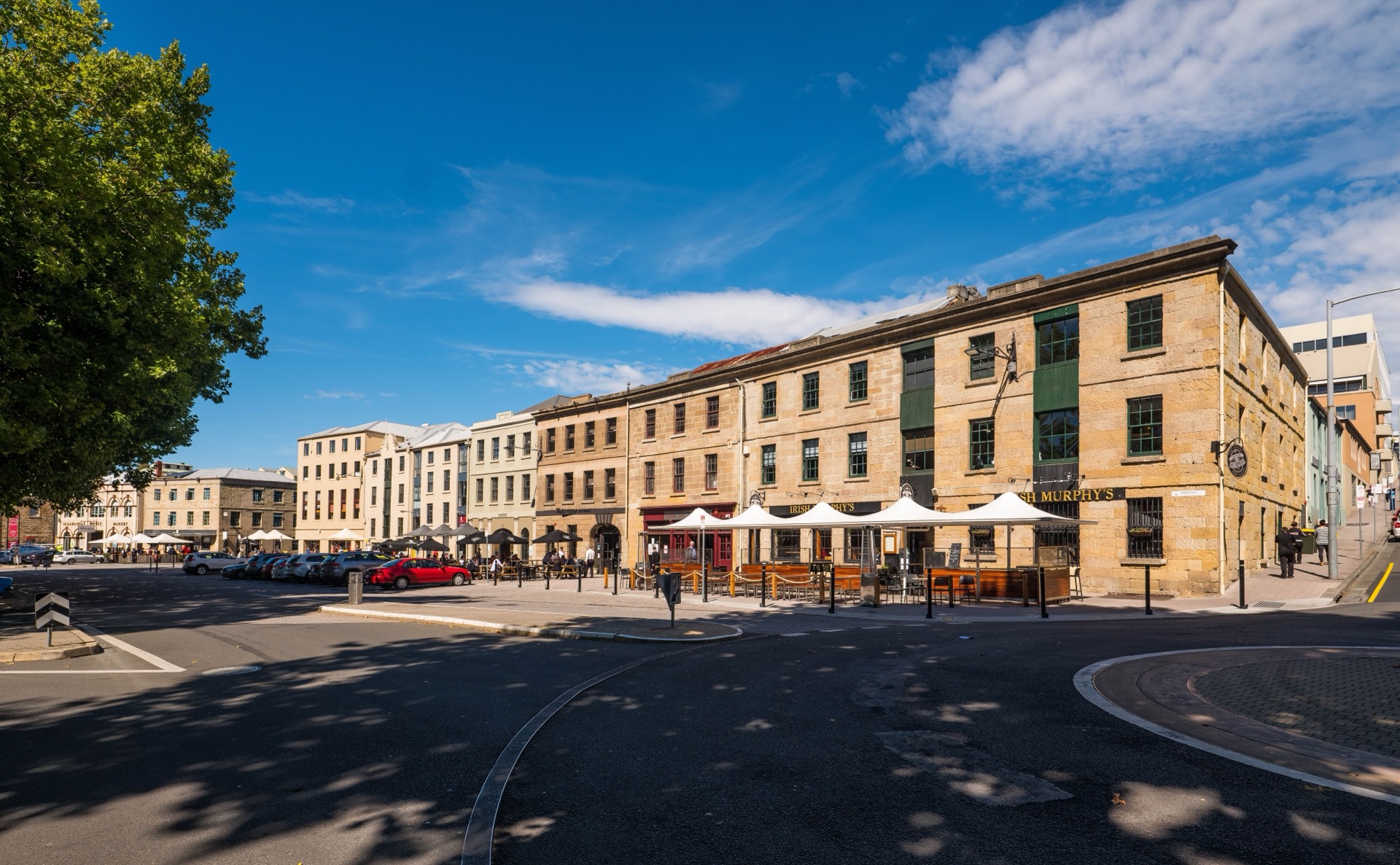
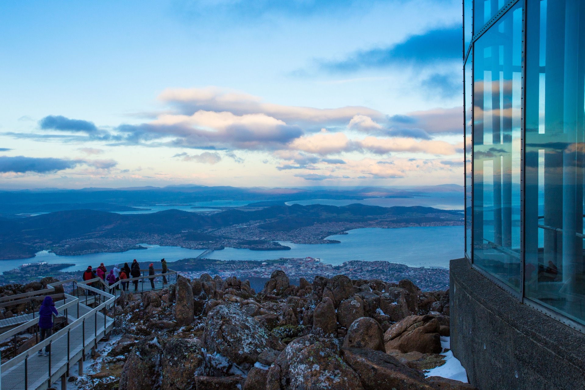
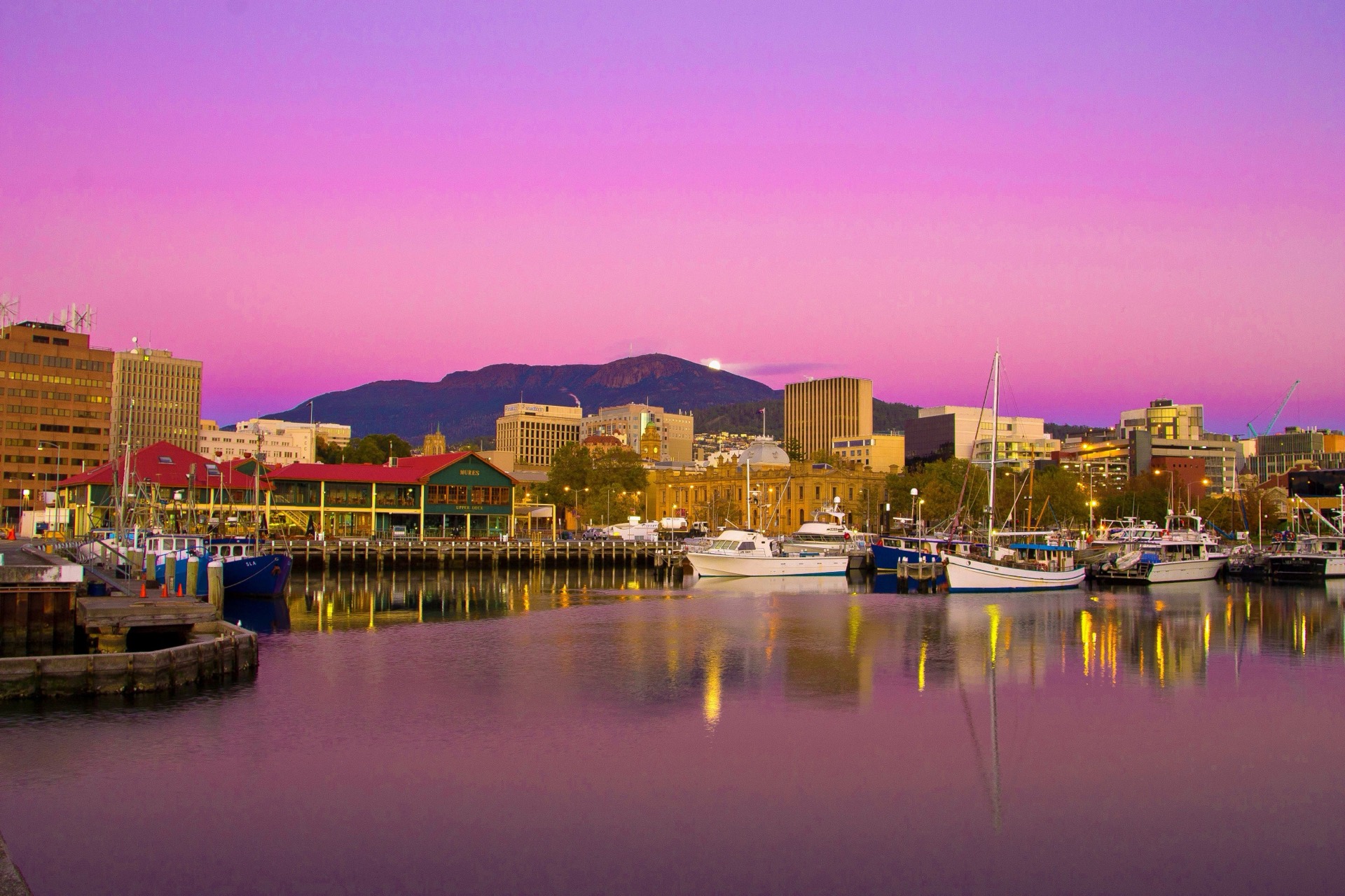
A city day with no highway. MONA needs a substantial block; kunanyi / Mount Wellington is the alpine lookout above the Derwent when the mountain is clear.
Check Parks Tasmania for Tasman National Park access before adding coastal stops to a Port Arthur day from Hobart. Check current updates
Overnight in Hobart
Highlights
- Underground galleries then an alpine lookout
- Hobart harbour in between
Things to do
MONA
Set aside a substantial block for Hobart's Museum of Old and New Art; check tickets and ferry or road access before visiting.
kunanyi / Mount Wellington
Head to the summit lookout for views over Hobart, allowing for fast-changing mountain conditions.
Salamanca Place
Walk the sandstone warehouse precinct beside Hobart's waterfront.
Tasman Peninsula from Hobart
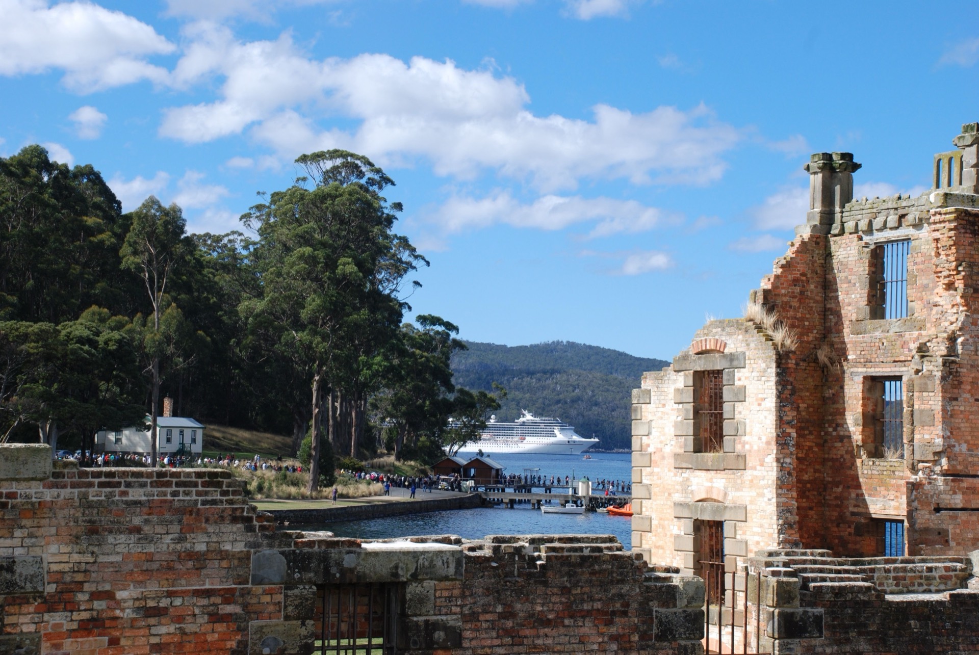
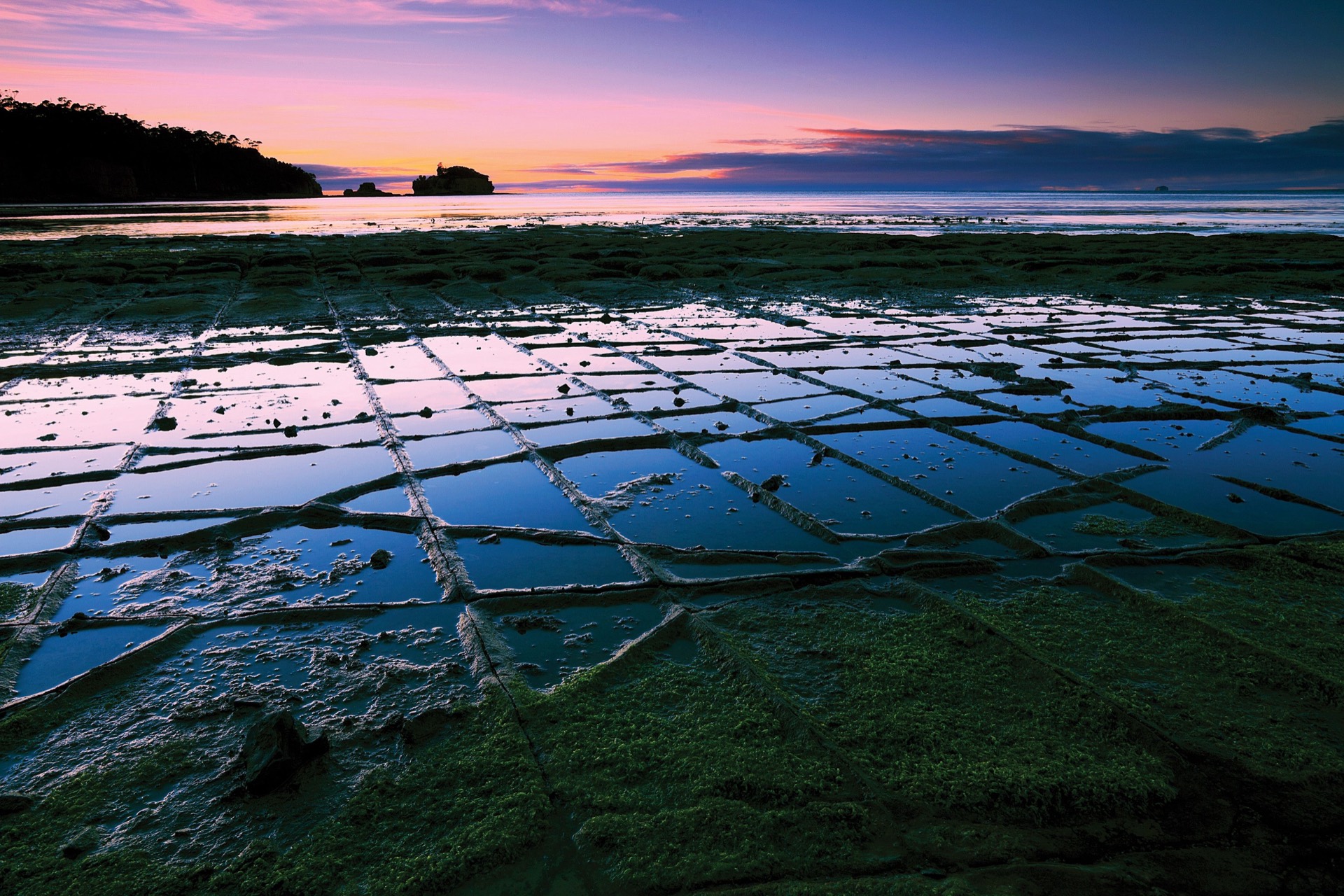
Make Port Arthur a peninsula day from Hobart rather than a seventh overnight. Allow half a day at the historic site, and pause at Eaglehawk Neck for the Tessellated Pavement. This return is outside the seven base-leg totals.
Overnight in Hobart
Highlights
- Convict sandstone and dolerite sea cliffs
- A half-day among the ruins, then the harbour at dusk
Things to do
Port Arthur Historic Site
Allow at least half a day for the historic buildings, ruins, grounds and included experiences.
Tessellated Pavement
A short Eaglehawk Neck stop for the fractured coastal rock platform, on the way to or from Port Arthur.
Hobart to Cradle Mountain
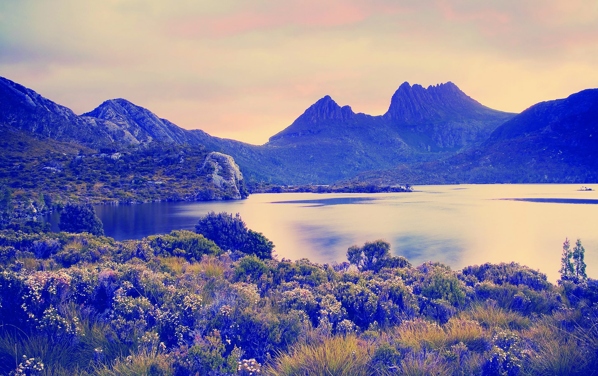
Leave the harbour for the high country. The reviewed inland route follows National Highway 1 then Cradle Mountain Road. Keep Dove Lake for tomorrow so this day can be the change from city to alpine heath.
Overnight in Cradle Mountain
Places to stay near Cradle Mountain
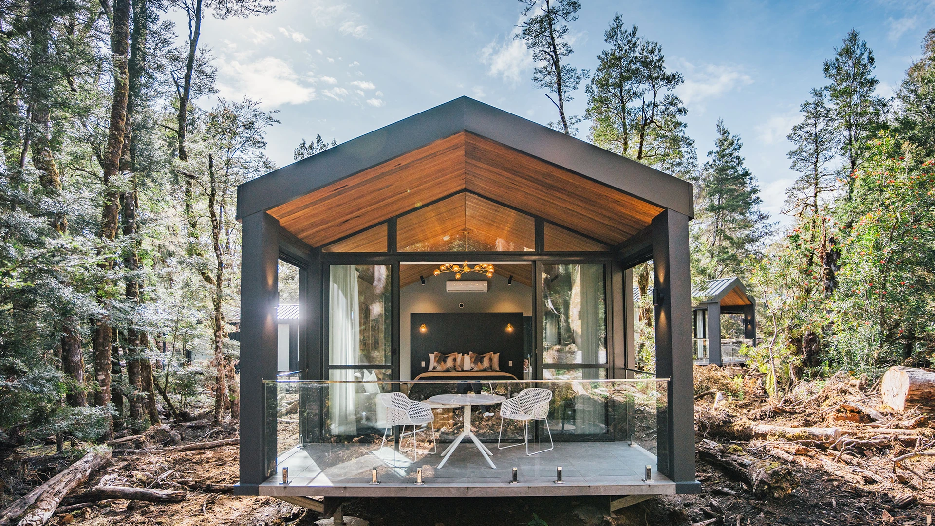
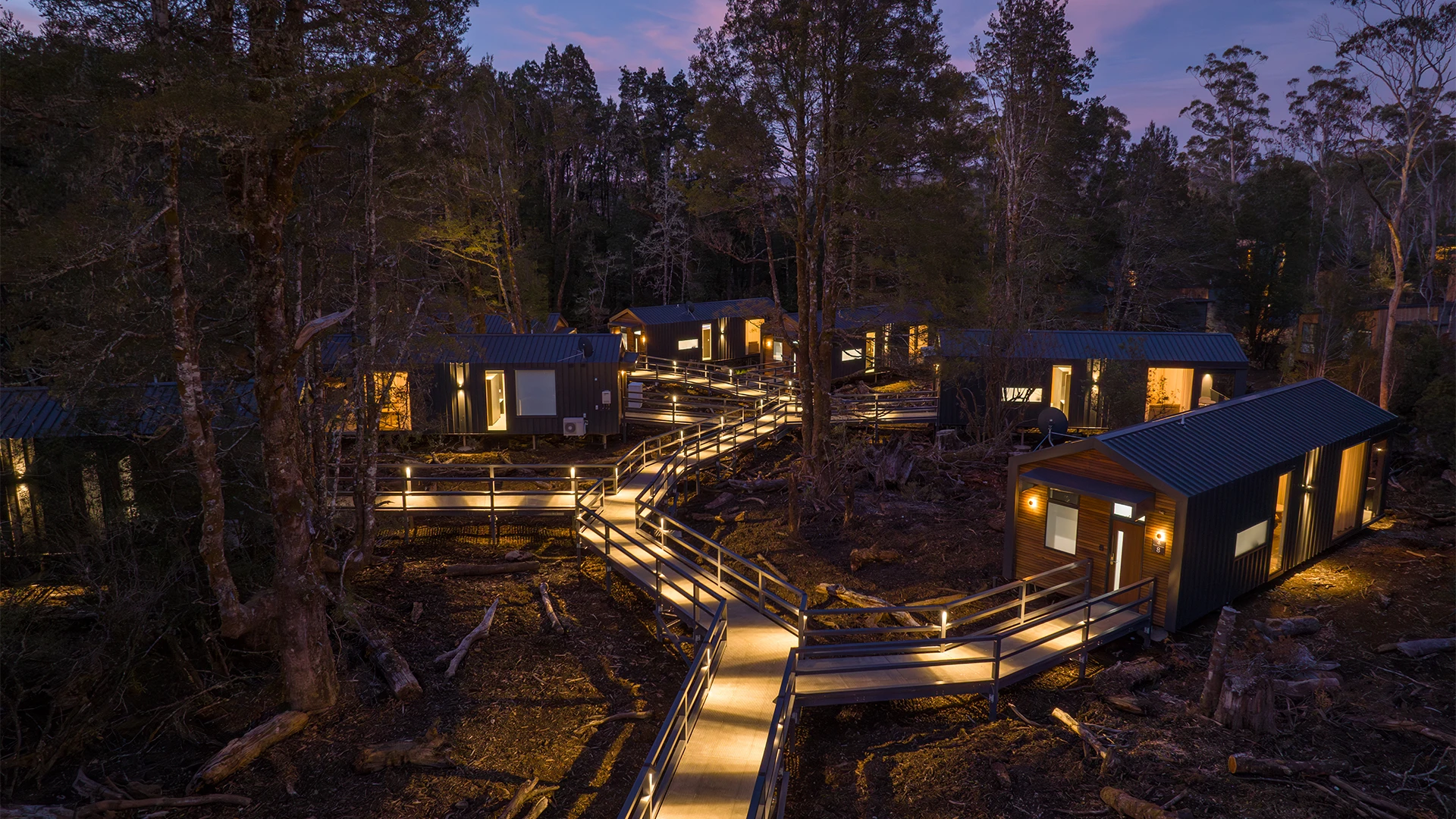
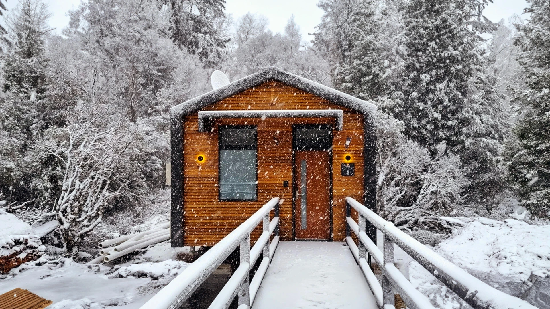
Highlights
- Harbour streets giving way to button-grass and Cradle's peaks
Driving details(1 leg)
Hobart → Cradle Mountain
321 km · 3 hr 57 min · National Highway 1, Cradle Mountain Road
Sealed public road on the selected base route.
A full inland driving day; drive time excludes highland stops and current delays.
Cradle Mountain and Dove Lake
A full alpine day. Dove Lake is the classic circuit under Cradle Mountain; the Enchanted Walk is the shorter rainforest option near the park entrance. Weather turns quickly, and Parks Tasmania current advice should shape whether you walk, use the shuttle, or stay lower.
Cradle Mountain weather changes quickly. Check Parks Tasmania for current walking, shuttle and access advice before committing to Dove Lake. Check current updates
Overnight in Cradle Mountain
Highlights
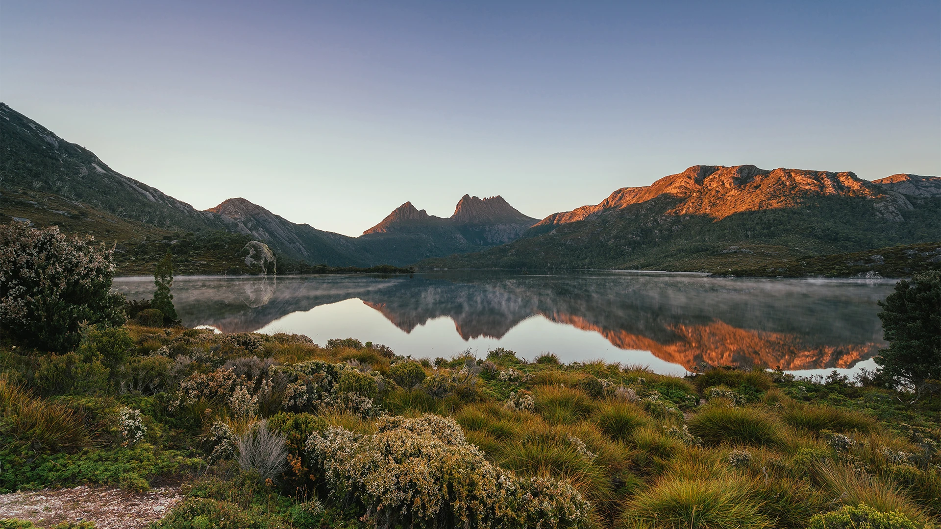
- Dove Lake under Cradle's twin peaks
- Alpine heath beside still water
Things to do
Dove Lake
The classic Cradle Mountain lake circuit, subject to alpine weather and current park access.
Enchanted Walk
A 1.1 km rainforest circuit near Pencil Pine Creek, useful when you want something shorter than Dove Lake.
Cradle Mountain to Strahan
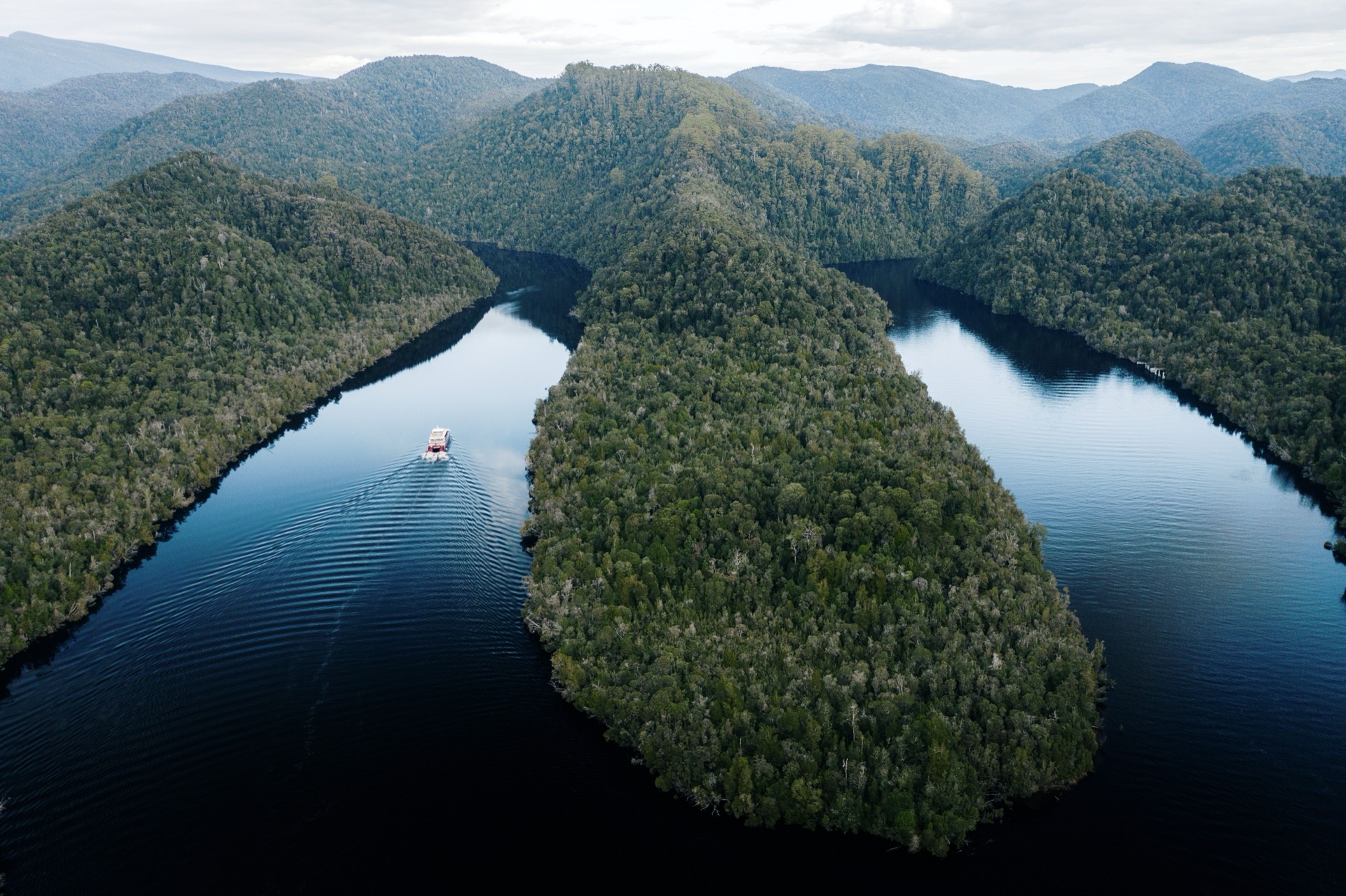
Drop west toward Macquarie Harbour on the Murchison Highway. Mining-town hills and rainforest sit on the same sealed run. Keep a Gordon River morning for tomorrow.
Overnight in Strahan
/fit-in/1920x0/property-images/336/ea9b621d-20260728024334Z-DSC_1620.jpg)
/fit-in/1920x0/property-images/336/115496a3-20260728024333Z-DSC_1410(1).jpg)
/fit-in/1920x0/property-images/336/f6570693-20260728024753Z-DSC_1388(1).jpg)
/fit-in/1920x0/property-images/336/2ce2f650-20260728024333Z-DSC_1422.jpg)
/fit-in/1920x0/property-images/47/strahan-retreat-tasmania-kayaking-1500x430.jpg)
Highlights
- Rainforest and mining-town hills on the way to Macquarie Harbour
Driving details(1 leg)
Cradle Mountain → Strahan
140 km · 1 hr 49 min · Cradle Mountain Road, Murchison Highway, A10, B27
Sealed public road on the selected base route.
West-coast weather can slow this sealed run; drive time excludes stops.
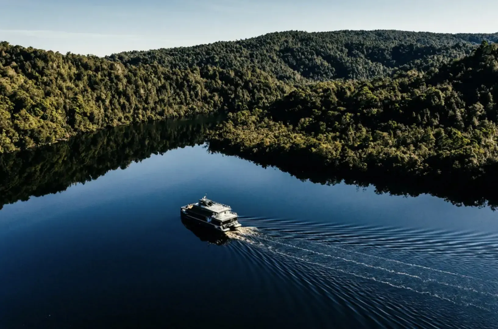
Strahan and the Gordon River
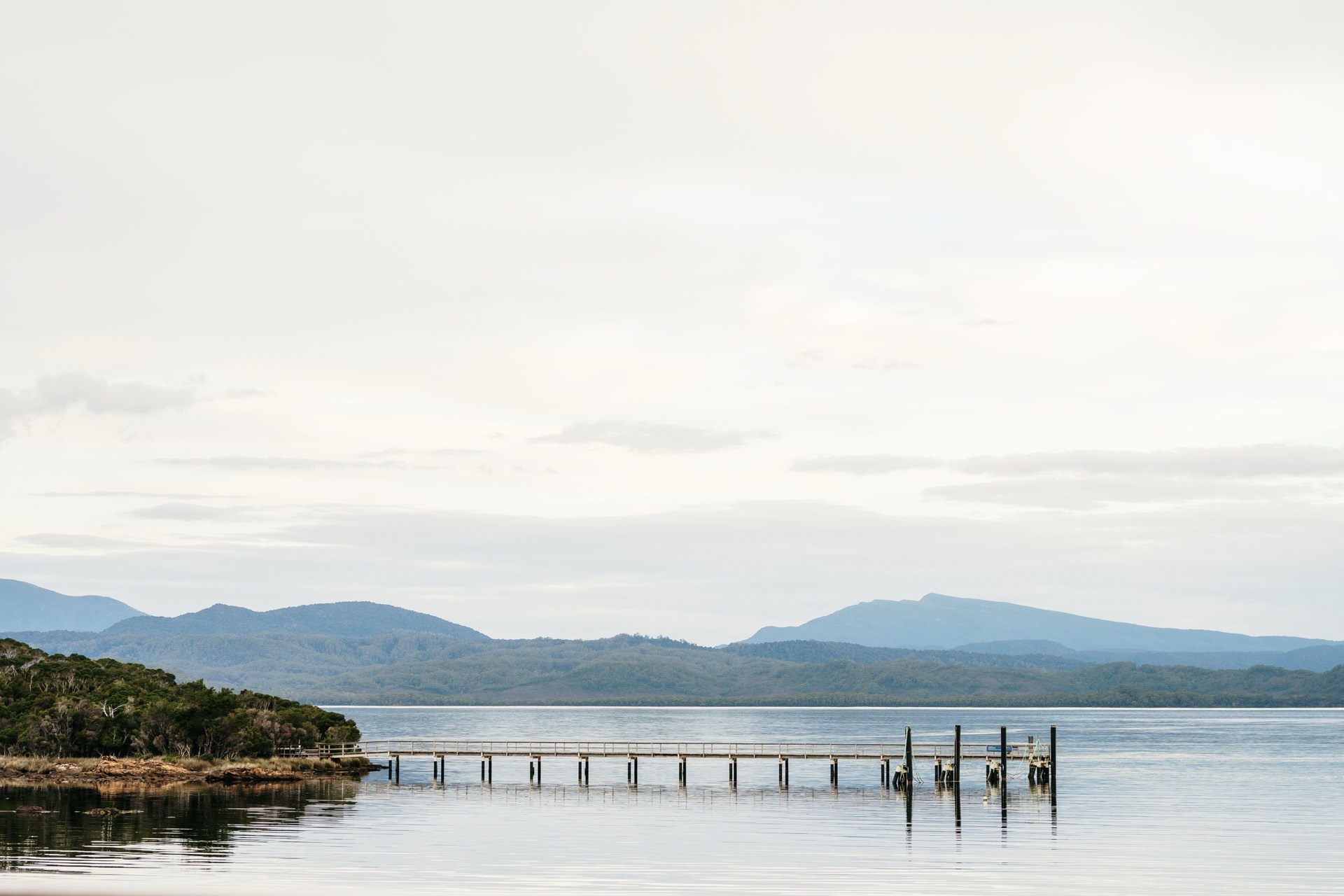
Stay in Strahan. Confirm operator hours before a Gordon River cruise, and keep Hogarth Falls as the short rainforest walk close to town. Do not put the river on the ferry day.
Check Parks Tasmania before Gordon River or Franklin-Gordon activities, and leave morning from Strahan if you have a Spirit sailing the same day. Check current updates
Overnight in Strahan
Highlights
- Still dark water on the Gordon
- Ocean Beach's long roar just beyond town
Things to do
Gordon River
The wilderness river reached from Strahan, inside Franklin-Gordon Wild Rivers National Park; confirm operator hours before booking a cruise.
Hogarth Falls
A 2.4 km rainforest walk from Peoples Park to a waterfall, close to the Strahan waterfront.
Strahan to Devonport
Leave the west coast in the morning so you reach East Devonport with daylight in hand for Spirit check-in. Check current sailing and terminal details before you lock the departure hour.
Highlights
- West-coast rivers behind you, Bass Strait at the other end of the day
Driving details(1 leg)
Strahan → Devonport
226 km · 2 hr 48 min · Murchison Highway, A10, Bass Highway, National Highway 1
Sealed public road on the selected base route.
Leave morning so you reach East Devonport with time for Spirit check-in.
Viewing full route overview
Before you go
- Best time to travel
- Late spring to early autumn is the mildest window for beaches and alpine walks. Winter is quieter and colder, and Cradle Mountain weather can close walks in any month. Check current road, park and Spirit sources before you set out.
- Traveller fit
- Made for self-drivers bringing a car, campervan, motorhome or caravan on the Spirit who want the east coast, Hobart and the west in one unhurried circuit.
- Preferred direction
- Clockwise from Devonport: east coast south to Hobart, then inland to Cradle Mountain and Strahan, returning to East Devonport for the Spirit.
- Totals include
- The distance and drive time above cover the seven base road legs only. They do not include the Port Arthur day trip, sightseeing stops, side trips, traffic, delays or the Bass Strait sailing.
- Vehicle · caravan
- A popular loop for caravans and motorhomes, including on the new Spirit ships' extra-height lanes, but match every road, stay and sailing to your own rig.
- Vehicle · ferry
- This loop starts and ends with a Spirit of Tasmania sailing; check the operator for current ships, night sailings and vehicle rules.
- Opening times
- Check Spirit of Tasmania for current sailings, check-in times, vehicle height and length, pet rules, and whether you are on the current ships or Spirit IV and V before locking the first and last nights. Check current updates
- Roads
- Check Tasmania Police community alerts before every driving day for current incidents, closures and restrictions. Check current updates
- Towing
- Match every base leg, side road, Spirit booking and stay to your own vehicle dimensions, towing setup and licence requirements.
- Pets
- Pet rules vary by national park, stay and Spirit product. Kennels are the current-ship default; pet cabins are a later new-ship option. Confirm each one separately.
Sources (30)
Official and primary references used for places, access, and trip facts on this itinerary. Check these for tickets, hours, and seasonal closures.
- Discover Tasmania 14-day island itinerary — Tourism Tasmania
- Discover Tasmania lap of the map road trip — Tourism Tasmania
- Human review of two-week Tasmania loop legs in Google Maps — Google Maps
- Google Maps Directions display geometry for the two-week Tasmania loop — Google Maps
- Tasmania Police current road conditions and closures — Tasmania Police
- Spirit of Tasmania sailings and bookings — TT-Line
- Spirit of Tasmania IV and V stage 1 ticket release — TT-Line
- Spirit Quay Devonport terminal information — TT-Line
- Spirit of Tasmania FAQs — TT-Line
- Tasman National Park visitor and access information — Tasmania Parks and Wildlife Service
- Freycinet National Park visitor and access information — Tasmania Parks and Wildlife Service
- Bay of Fires Conservation Area visitor information — Tasmania Parks and Wildlife Service
- Discover Tasmania St Helens Mountain Bike Trails — Tourism Tasmania
- St Helens Mountain Bike Trails official trail information — St Helens Mountain Bike Trails
- Cradle Mountain-Lake St Clair National Park visitor information — Tasmania Parks and Wildlife Service
- Franklin-Gordon Wild Rivers National Park visitor information — Tasmania Parks and Wildlife Service
- Port Arthur Historic Site visitor guide — Port Arthur Historic Site Management Authority
- Port Arthur Historic Site driving directions — Port Arthur Historic Site Management Authority
- Salamanca precinct guide — Salamanca.com.au
- Cataract Gorge Reserve — City of Launceston
- Discover Tasmania top attractions — Tourism Tasmania
- Discover Tasmania Freycinet Peninsula itinerary — Tourism Tasmania
- Discover Tasmania Bicheno guide — Tourism Tasmania
- Queen Victoria Museum and Art Gallery plan your visit — QVMAG
- City Park, Launceston — City of Launceston
- Discover Tasmania natural landmarks — Tourism Tasmania
- Enchanted Walk, Cradle Mountain — Tasmania Parks and Wildlife Service
- Hogarth Falls Great Short Walk — Tasmania Parks and Wildlife Service
- OpenStreetMap reviewed POI coordinates — OpenStreetMap contributors
- Total Parks two-week Tasmania route and suitability review — Total Parks
- shorter: A seven-day Hobart to Launceston east-coast itinerary for travellers flying in rather than using the Spirit.
Frequently asked questions
Why does this loop start and end in Devonport instead of Hobart?
This trip assumes you bring a vehicle on the Spirit of Tasmania between Geelong and East Devonport. Day 1 is the short drive to Launceston after a night sailing; day 14 comes back from Strahan in time for evening check-in. If you are flying into Hobart, use the seven-day east-coast itinerary, or join this loop from Hobart and skip the ferry nights.
Do the new Spirit of Tasmania ships change this itinerary?
They change how you book the crossing, not the island overnight order. TT-Line is introducing Spirit IV and V with more vehicle space, including extra height for caravans and campervans, but inventory is releasing in stages and the new-ship timetable starts as night sailings only. Check the operator for current ships, sailings and vehicle rules; extra lane metres do not mean a van booking is easy.
Does the total drive time include Port Arthur or the ferry?
No. The 1258 km and 946 minutes cover the seven base road legs only. The Port Arthur return from Hobart, Freycinet or Cradle walks, Gordon River time, traffic and the Bass Strait sailing sit on top of that.
More road trips
Other editorial itineraries on Total Parks.
Route overview
Full route · 1258 km