
 ❤️ Tourism Western Australia
Perth to Ningaloo: a 14-day Coral Coast road trip

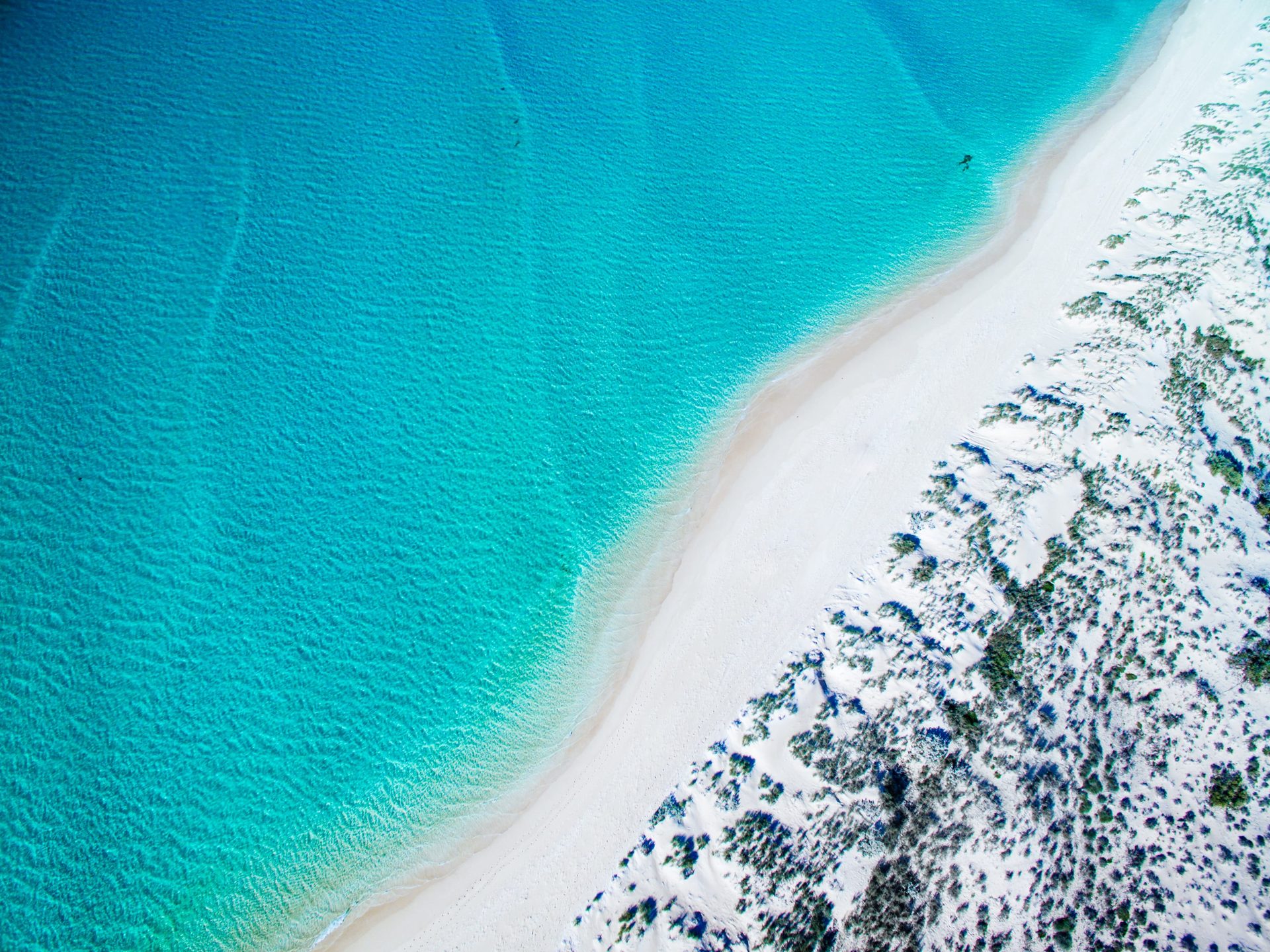
Follow the Coral Coast from Perth to Exmouth over 14 days, with lingering stays among Kalbarri's gorges, Shark Bay wildlife and the turquoise water of Ningaloo Reef.

By Dan Wild · Last reviewed 30 July 2026
What to expect
- The Pinnacles, Kalbarri's river gorges and Shark Bay's shell-white coast
- Wildlife mornings and World Heritage landscapes around Denham
- Days beside Ningaloo Reef at Coral Bay and Exmouth
- A northbound rhythm that leaves room to slow down by the sea
Seven driving days carry you north; seven slower days leave room for gorges, wildlife and the water.
Route at a glance
1.Perth
Start pointBegin in Perth and trade the city skyline for the open Coral Coast.
Next: Jurien Bay · 218 km · 2 hr 22 min · Indian Ocean Drive / State Route 60
2.Jurien Bay
1 night recommendedLet the Pinnacles and Jurien Bay turn the first drive into a day of discovery by the sea.
Next: Geraldton · 196 km · 2 hr 6 min · Indian Ocean Drive / State Route 60, Brand Highway
3.Geraldton
1 night recommendedPause for Mid West stories and Indian Ocean views before turning north to Kalbarri.
Next: Kalbarri · 155 km · 1 hr 50 min · North West Coastal Highway / National Route 1, State Route 139
4.Kalbarri
2 nights recommendedTwo nights let you experience both the Murchison River gorges and Kalbarri's wild coast at an unhurried pace.
Next: Denham · 374 km · 3 hr 57 min · North West Coastal Highway / National Route 1, Shark Bay Road
5.Denham
3 nights recommendedThree nights open up Shark Bay's wildlife, World Heritage landscapes and easy-going coastal rhythm.
Next: Carnarvon · 326 km · 3 hr 22 min · Shark Bay Road, North West Coastal Highway / National Route 1
6.Carnarvon
1 night recommendedPause in Gascoyne country for local stories and a gentler rhythm before Ningaloo.
Next: Coral Bay · 238 km · 2 hr 36 min · North West Coastal Highway / National Route 1, Minilya-Exmouth Road
7.Coral Bay
2 nights recommendedStay two nights to wake beside Ningaloo Reef and give the water a day of its own.
Next: Exmouth · 152 km · 1 hr 39 min · Minilya-Exmouth Road
8.Exmouth
3 nights recommendedThree nights leave room for reef-blue beaches, Cape Range gorges and the wildlife experience that suits you.
Day plan
Perth to Jurien Bay
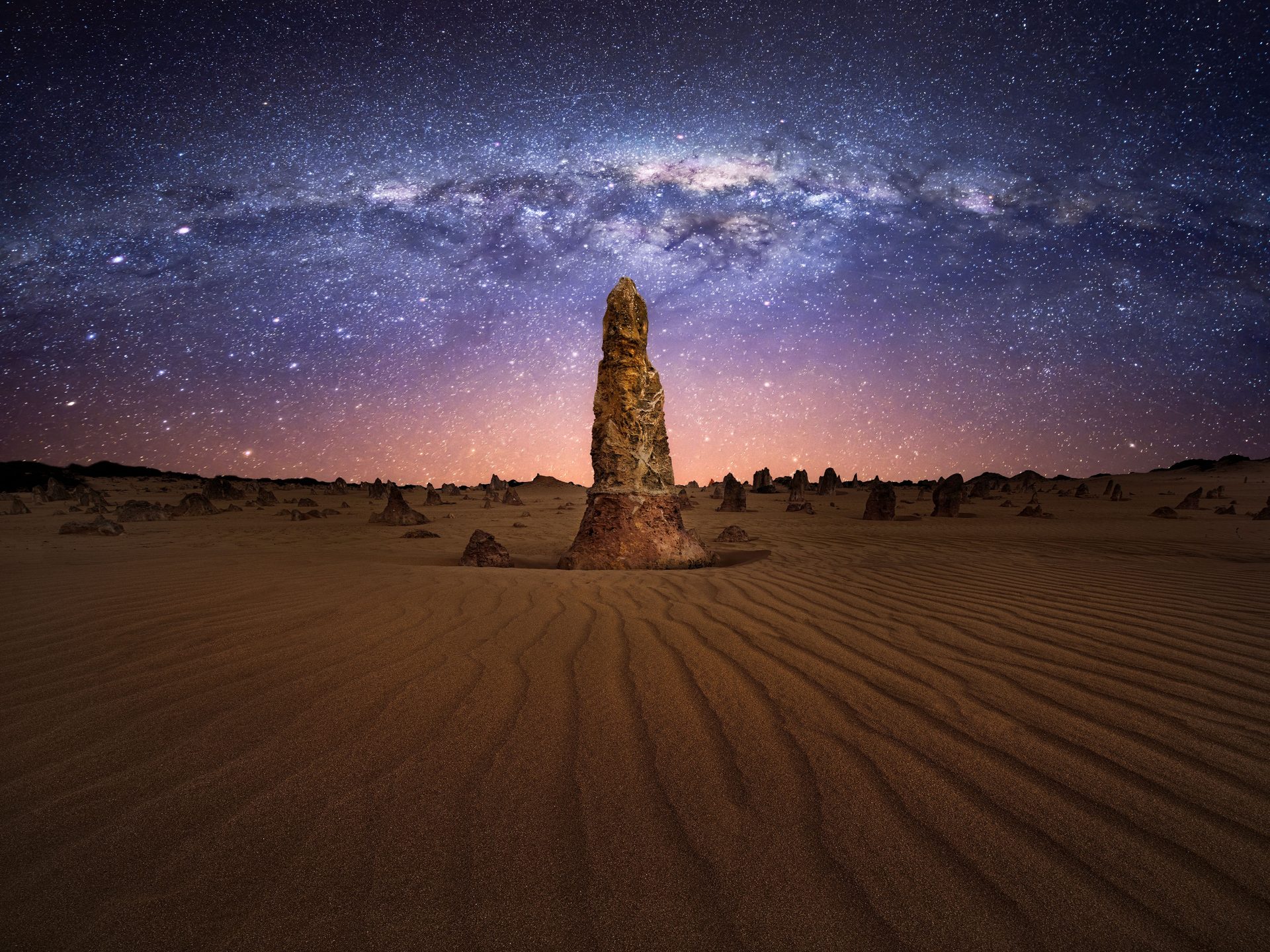
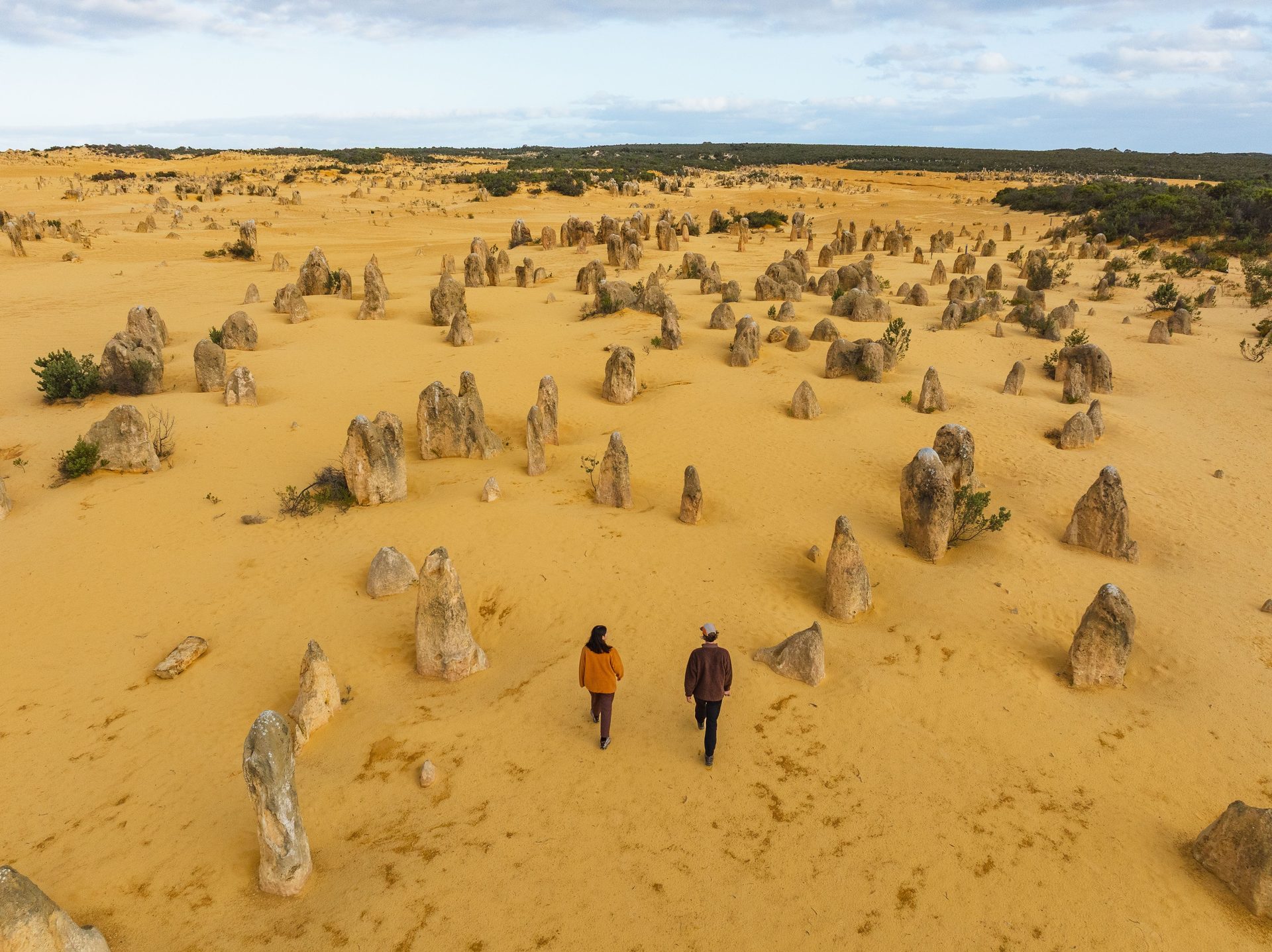
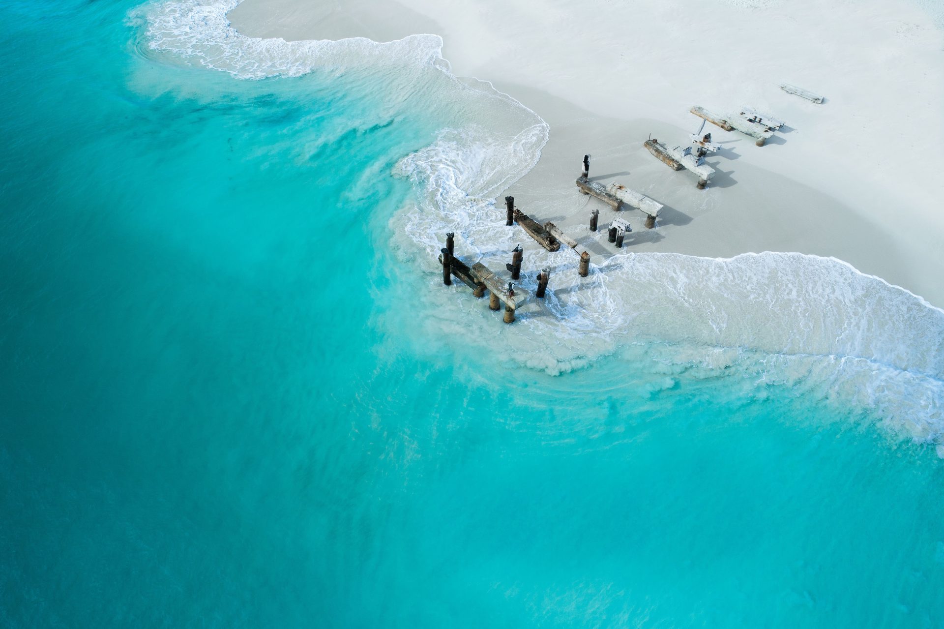
Leave Perth behind for the pale limestone spires of Nambung, then follow the coast to a relaxed evening in Jurien Bay.
Overnight in Jurien Bay
Places to stay near Jurien Bay
/fit-in/1920x0/property-images/3360/8af71b5c5770f9371b6ad27990582682aaa4655d39133e66d47ab5203a14e4a3.jpg)
/fit-in/1920x0/property-images/3360/d5e33fce-20260427043417Z-JurienBay-NewSites-3027-webres.jpg)
/fit-in/1920x0/property-images/3360/fdcaaa84-20260427043424Z-JurienBayTouristPark-CJMaddock-PremiumHolidayUnits-webres.jpg)
/fit-in/1920x0/property-images/3360/e4b7b9e0-20260427043419Z-JurienBayTouristPark-Powered-Caravan-Sites-1Y7A7421-webres.jpg)
/fit-in/1920x0/property-images/3360/9edea5cd-20260427043421Z-Powered-Camping-Sites.jpg)
Highlights
- Limestone desert and Indian Ocean blue in one opening day
- A relaxed first evening beside Jurien Bay
Driving details(1 leg)
Perth → Jurien Bay
218 km · 2 hr 22 min · Indian Ocean Drive / State Route 60
Main-route driving is ordinarily sealed; check Main Roads WA for current conditions and restrictions before departure.
Check Main Roads WA for current conditions before you leave.
Stops along the way
Pinnacles Desert Discovery
Let the Pinnacles turn the opening drive into a first-day spectacle, choosing the discovery centre, short walk or driving loop to suit the weather and your energy.
Jurien Bay foreshore and jetty
Ease into Jurien Bay with a foreshore walk along the jetty and sealed coastal path, keeping the evening as short or leisurely as you like.
Jurien Bay to Geraldton
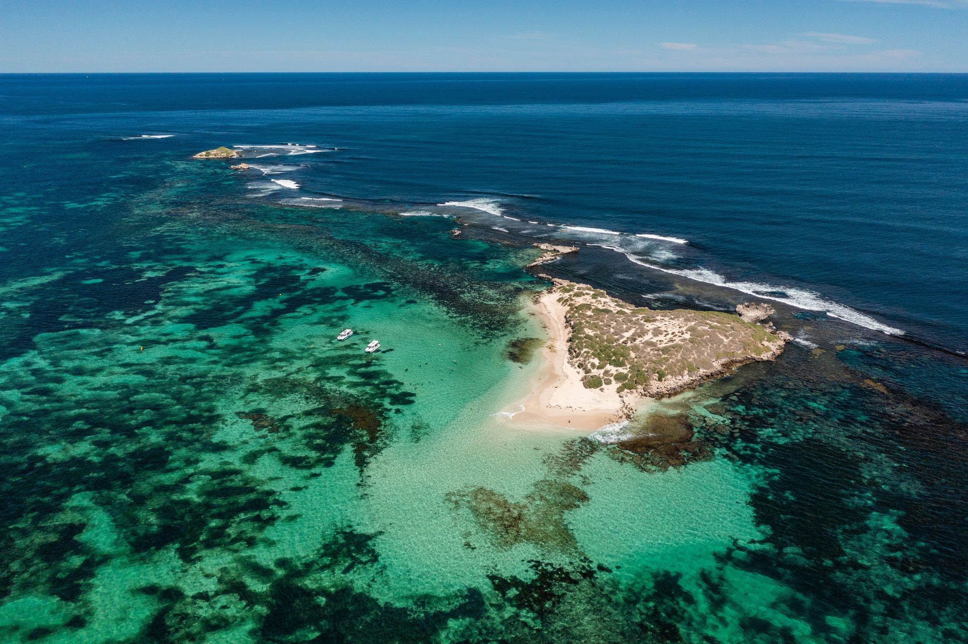
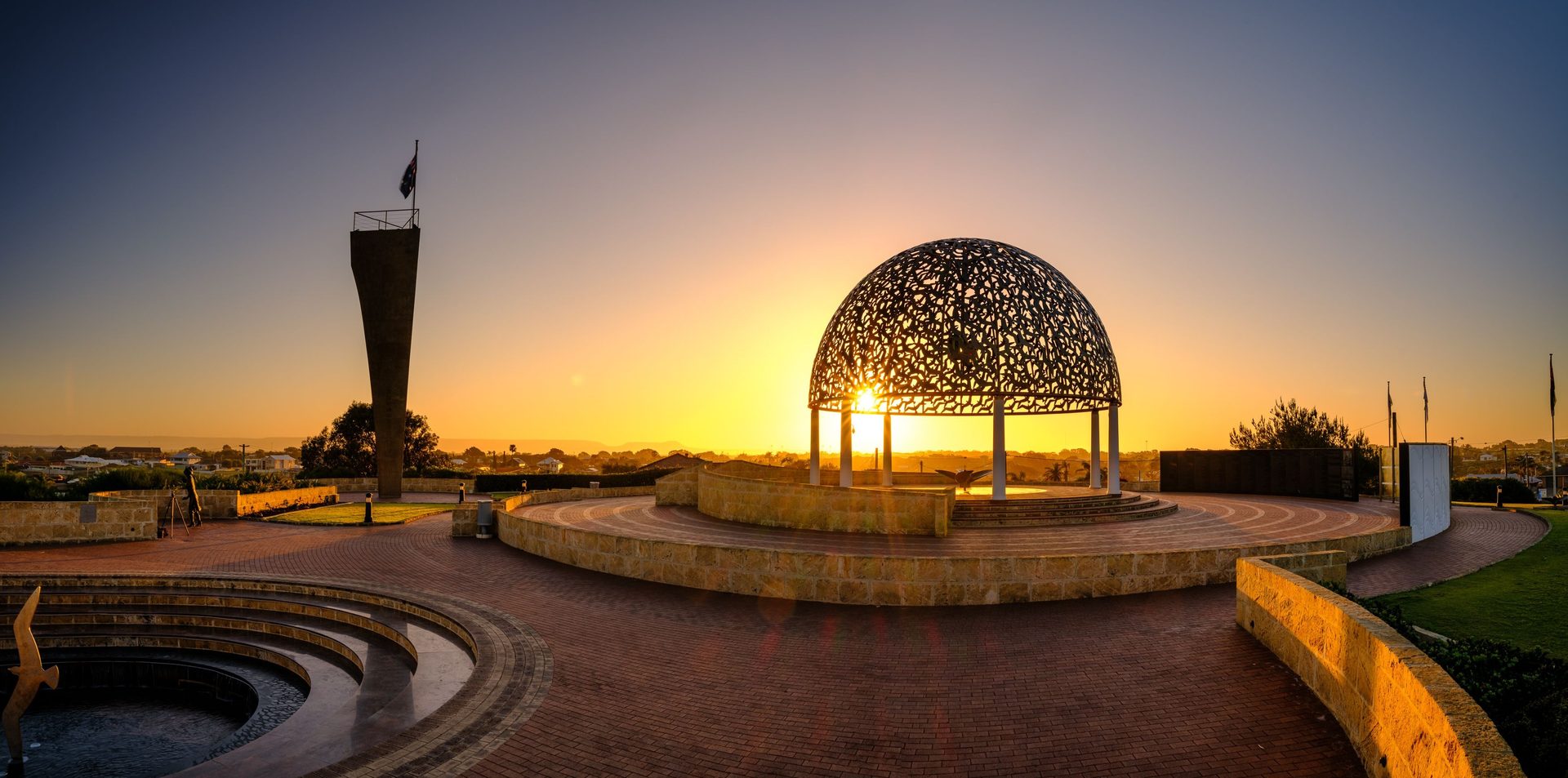

Follow the coast into Geraldton and leave time for Mid West stories and an evening by the water.
Overnight in Geraldton
/fit-in/1920x0/property-images/4196/126c126d-20260427043306Z-67f7531436495555265724.jpg)
/fit-in/1920x0/property-images/4196/399e2bfe-20260518031736Z-GeraldtonBelairGardens-DeluxeSpa-16-Living.jpg)
/fit-in/1920x0/property-images/4196/7ca61a6b-20260518031745Z-GeraldtonBelairGardens-PoweredSites-8038-webres.jpg)
/fit-in/1920x0/property-images/4196/dd6bb36c-20260518031738Z-GeraldtonBelairGardens-DeluxeSpa-16-9314.jpg)
/fit-in/1920x0/property-images/4196/d5a1a331-20260518031752Z-67f7531bf26d4518460329.jpg)
/fit-in/1920x0/property-images/4141/1ef1755f-20260422222457Z-Screenshot%202026-04-23%20at%208.22.23%E2%80%AFam.png)
Highlights
- Indian Ocean blue and wide Mid West skies
- Yamaji culture and Geraldton's maritime stories
Driving details(1 leg)
Jurien Bay → Geraldton
196 km · 2 hr 6 min · Indian Ocean Drive / State Route 60, Brand Highway
Main-route driving is ordinarily sealed; check Main Roads WA for current conditions and restrictions before departure.
Check Main Roads WA for current conditions before you leave.
Stops along the way
Museum of Geraldton
Use the museum to put the Mid West's Yamaji heritage, shipwreck history and HMAS Sydney II story into context before the route heads into smaller towns.
HMAS Sydney II Memorial
Pair the museum with this focused Mount Scott memorial, leaving enough time to read the symbolic elements rather than treating it as a quick lookout.
Geraldton to Kalbarri
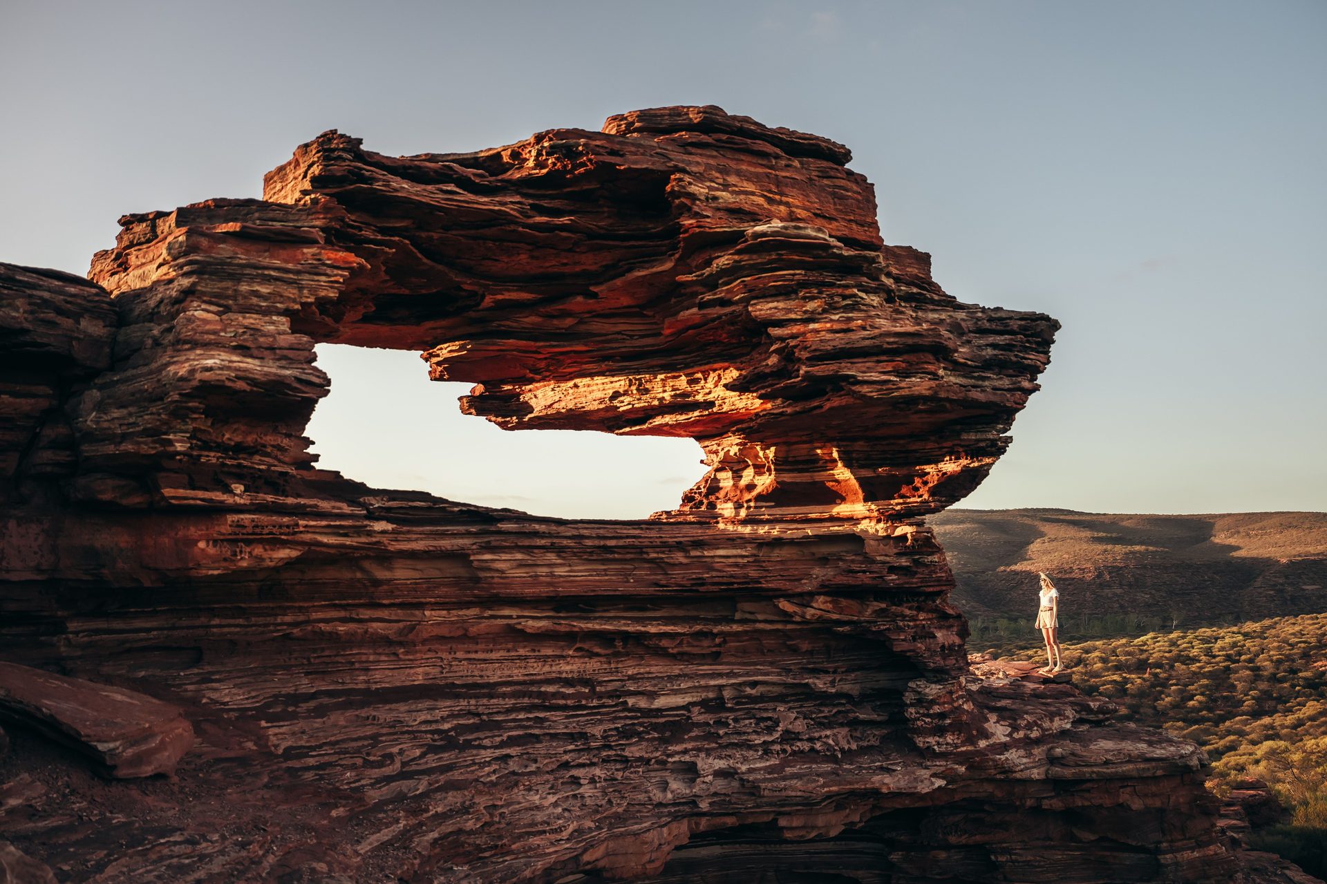
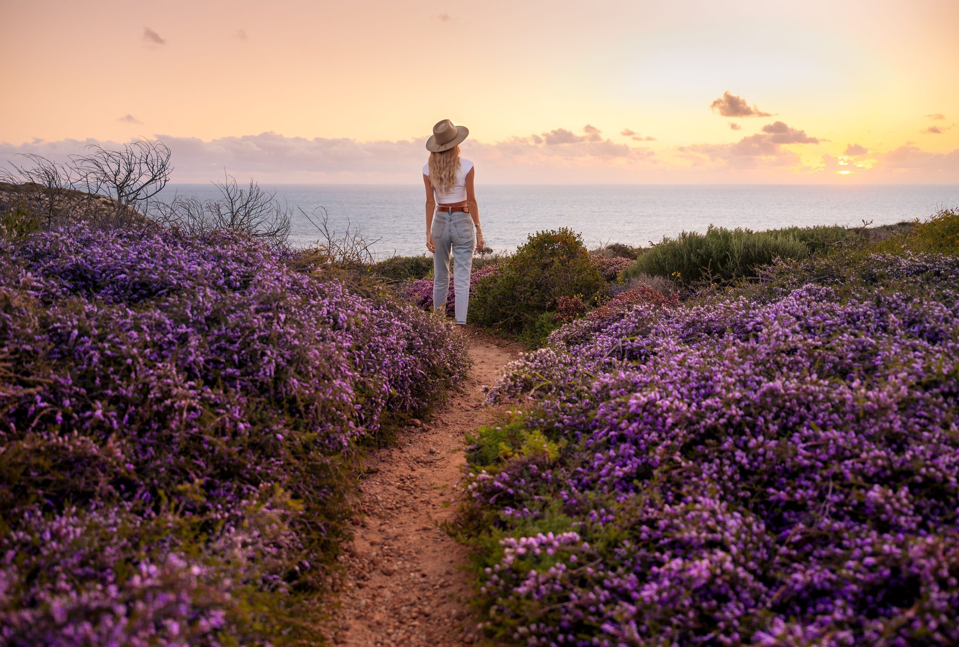
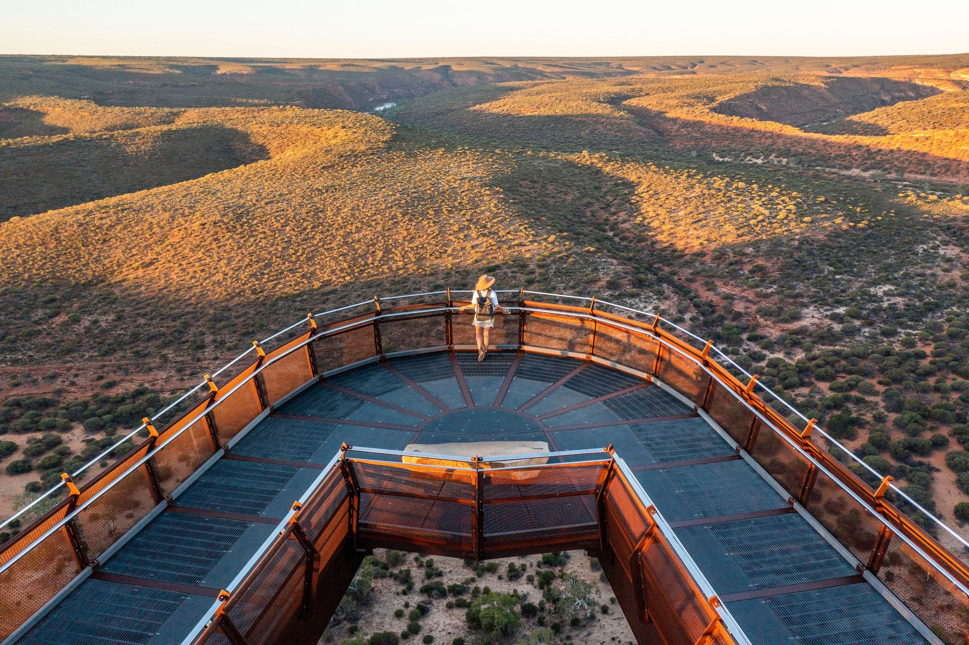
Take a gentler day into Kalbarri, with the coastal cliffs as a taste of the landscapes still to come.
Overnight in Kalbarri
Places to stay near Kalbarri
/fit-in/1920x0/property-images/4474/c8256729-20260518031205Z-KalbarriRedBluffTouristPark-PremiumOceanViewBalconyView-Gday.jpg)
/fit-in/1920x0/property-images/4474/091f2799485bf434155002221b4eff76a0f30005fb02f9b92db764ab1e3a8b94.jpg)
/fit-in/1920x0/property-images/4474/73e48bac-20260518031220Z-65dbedac1d30d004839220.jpg)
/fit-in/1920x0/property-images/4474/58829741f0ed44d250fd32723d42373f3f283b26ac8a57aef73bd446c9dfed8b.jpg)
/fit-in/1920x0/property-images/4474/a60cd1e0-20260518031210Z-KalbarriRedBluffTouristPark-PremiumOceanView-Pool-Gday.jpg)
/fit-in/1920x0/property-images/4473/avatar.jpg)
/fit-in/1920x0/property-images/4486/97cb7b2b-20260412023303Z-Screenshot%202026-04-12%20at%2012.30.59%E2%80%AFpm.png)
Highlights
- Kalbarri's wild coast comes into view
- A relaxed arrival before a day among the gorges
Driving details(1 leg)
Geraldton → Kalbarri
155 km · 1 hr 50 min · North West Coastal Highway / National Route 1, State Route 139
Main-route driving is ordinarily sealed; check Main Roads WA for current conditions and restrictions before departure.
Check Main Roads WA for current conditions before you leave.
Stops along the way
Natural Bridge and Island Rock
Use the enclosed lookouts and short boardwalk as an arrival-day contrast to the inland gorge, keeping well back from exposed cliff edges.
Kalbarri
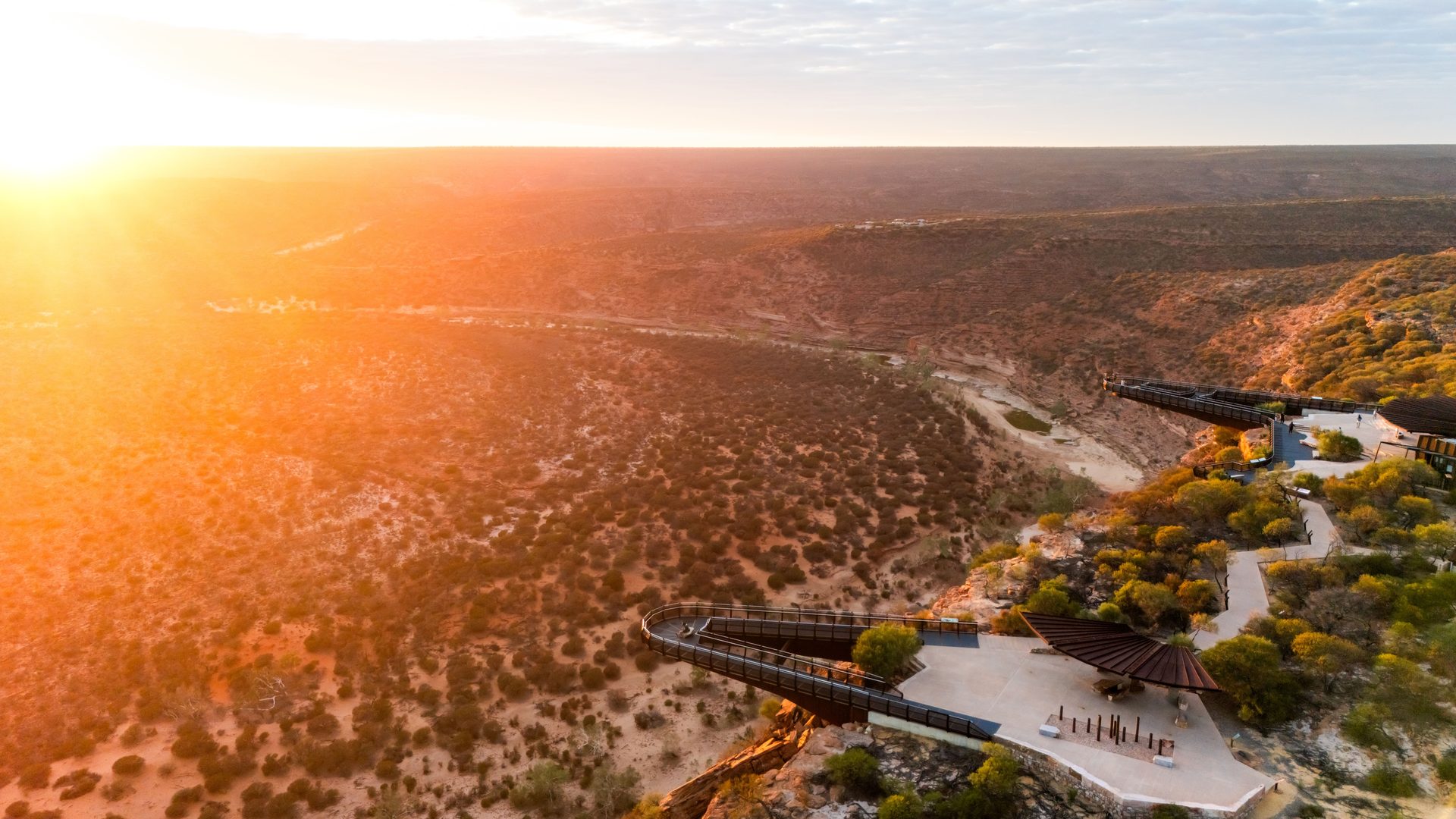
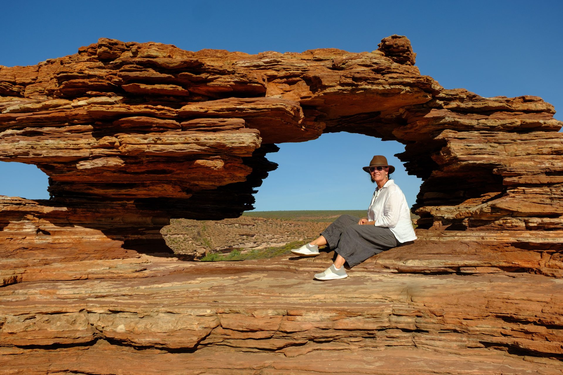
Give Kalbarri's river gorges the cooler part of the day, then choose an easy afternoon by the coast.
Plan the Kalbarri gorge for cool conditions, carry your own water and choose short lookouts instead when heat or alerts make a walk unsuitable. Check current updates
Overnight in Kalbarri
Highlights
- River-gorge lookouts in the cooler part of the day
- An open afternoon for Kalbarri's coast
Things to do
Kalbarri Skywalk
Start the gorge day with broad Murchison River views and interpretation before deciding whether the heat and walking conditions suit a longer trail.
Nature's Window
Treat the rock window as a moderate short walk in its own right; the adjoining Loop is a separate, much harder commitment with seasonal heat restrictions.
Kalbarri to Denham


Settle into the longer drive with a memorable pause at Shell Beach, then arrive in Denham with two open days ahead.
Overnight in Denham
/fit-in/1920x0/property-images/3526/eef16272-20260412022854Z-Screenshot%202026-04-12%20at%2012.27.27%E2%80%AFpm.png)
/fit-in/1920x0/property-images/3526/3.jpg)
/fit-in/1920x0/property-images/3526/54cf023d-20260412022853Z-Screenshot%202026-04-12%20at%2012.26.19%E2%80%AFpm.png)
/fit-in/1920x0/property-images/3526/5538af06-20260412022854Z-Screenshot%202026-04-12%20at%2012.26.26%E2%80%AFpm.png)
/fit-in/1920x0/property-images/3526/c7df0c20-20260412022854Z-Screenshot%202026-04-12%20at%2012.26.32%E2%80%AFpm.png)
/fit-in/1920x0/property-images/3527/instances_b8ab2cef796af84b2bea457976a8bd4d_5e2a688743b30.jpg)
Highlights
- Shell-white shoreline against Shark Bay blue
- Three nights to sink into Denham's slower rhythm
Driving details(1 leg)
Kalbarri → Denham
374 km · 3 hr 57 min · North West Coastal Highway / National Route 1, Shark Bay Road
Main-route driving is ordinarily sealed; check Main Roads WA for current conditions and restrictions before departure.
Check Main Roads WA for current conditions before you leave.
Stops along the way
Shell Beach
Pause at Shell Beach for the contrast of white cockle-shell ridges and shallow blue water before continuing to Denham.
Denham and Monkey Mia
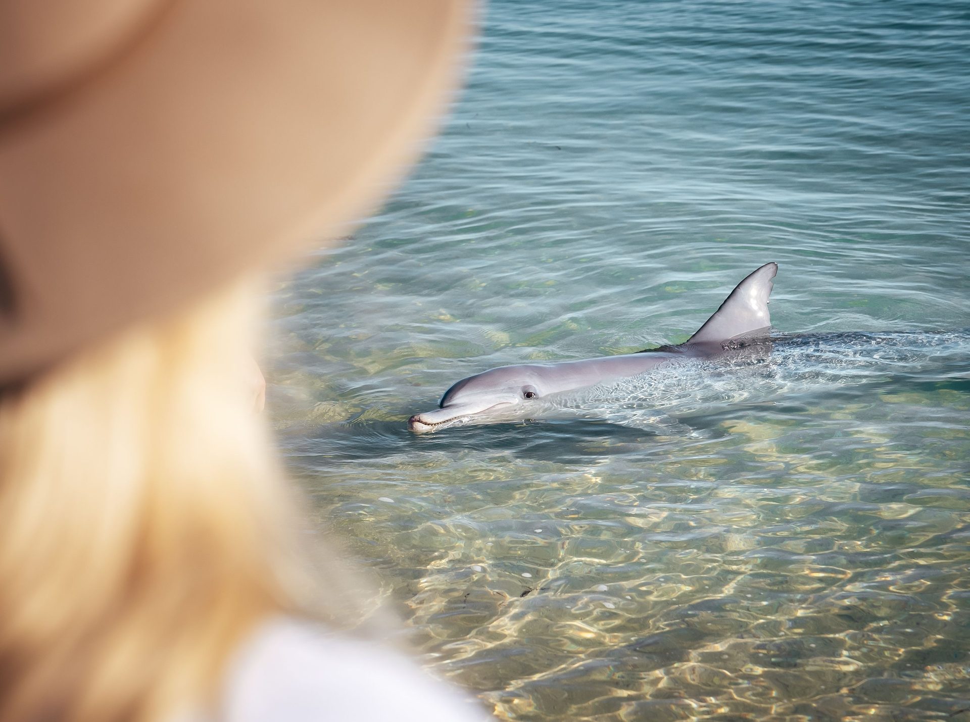
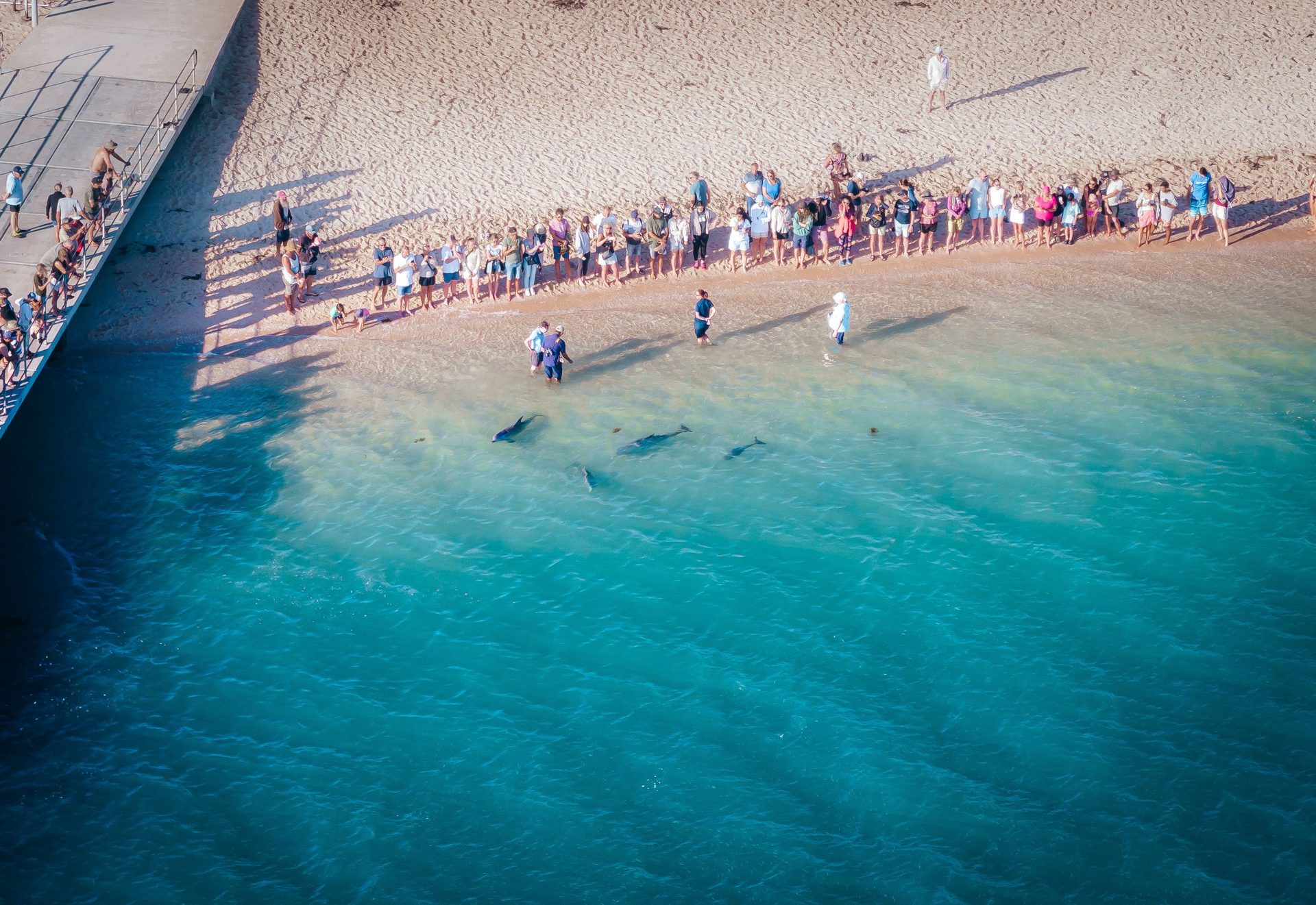
Begin with the chance to see Shark Bay's wild dolphins at Monkey Mia, then keep the rest of the day loose and unhurried.
Keep a 2WD visit to Peron Heritage Precinct; the park tracks beyond require a suitable high-clearance low-range 4WD and do not suit caravans or large boat trailers. Check current updates
Overnight in Denham
Highlights
- The chance to see wild dolphins at Monkey Mia
- A slower afternoon shaped by the morning's wildlife
Things to do
Shark Bay World Heritage Discovery and Visitor Centre
Use the centre to understand the World Heritage values and check current local access before choosing between a 2WD day, wildlife morning or 4WD tour.
Monkey Mia Dolphin Experience
Give the wild dolphins the morning rather than a deadline: arrive early, follow ranger directions and keep the rest of the day flexible if they do not visit.
Shark Bay flex day
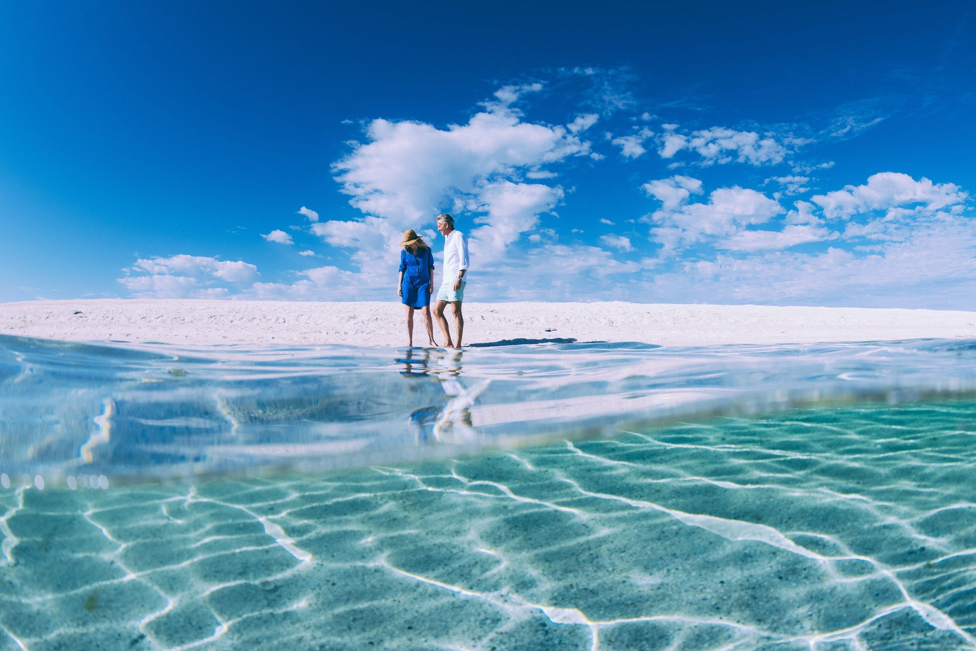
Choose the Shark Bay day that suits you: gentle World Heritage interpretation, a guided adventure or time closer to Denham.
Overnight in Denham
Highlights
- Red earth and World Heritage landscapes beyond Denham
- Choose a gentle heritage visit or a guided 4WD adventure
Things to do
Peron Heritage Precinct
Keep a 2WD visit to the former station precinct distinct from the soft-sand park tracks beyond it, which require a suitable high-clearance low-range 4WD.
Denham to Carnarvon

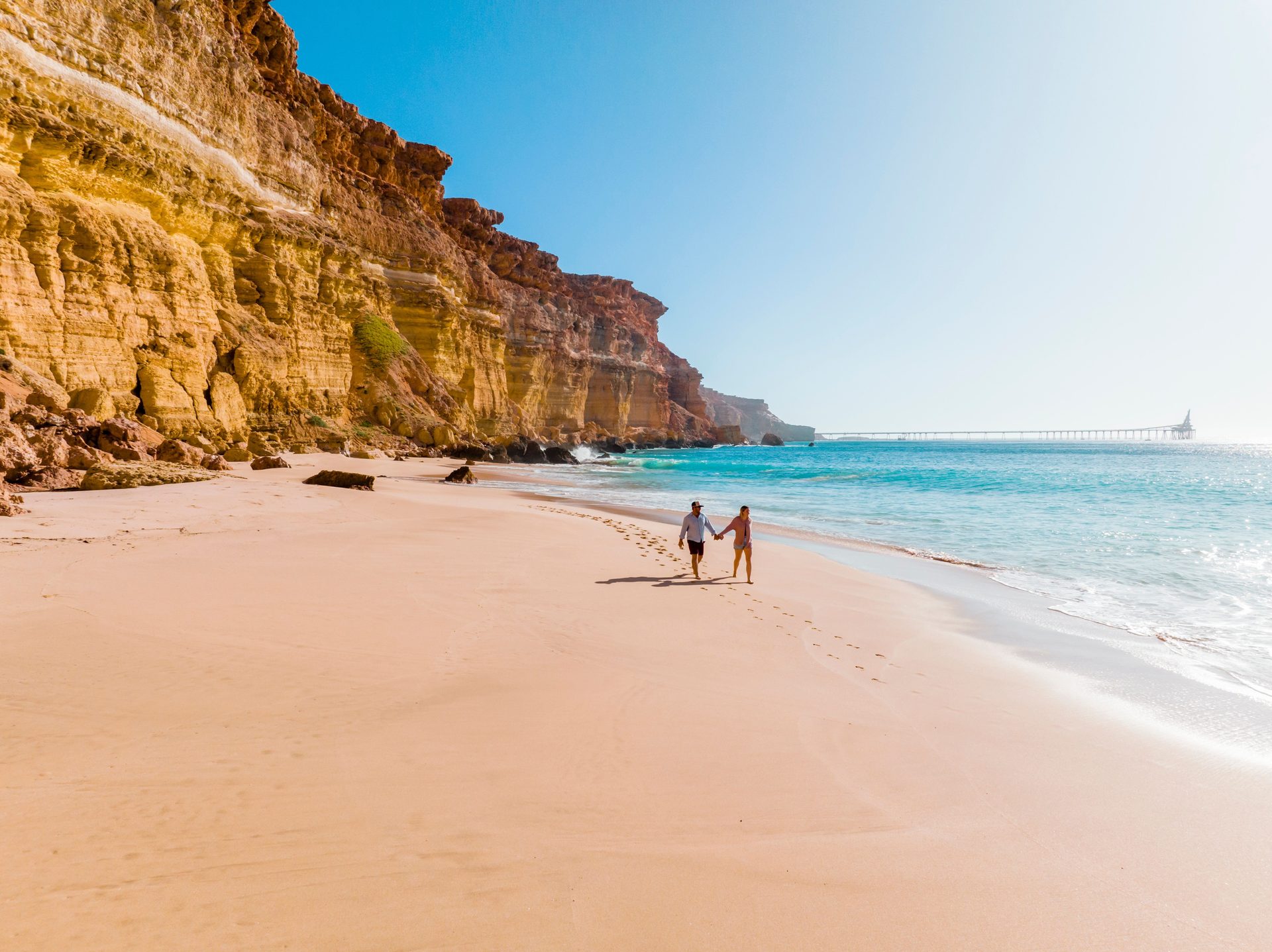
Leave Shark Bay for the red-earth Gascoyne and a quiet evening in Carnarvon before Ningaloo draws closer.
Overnight in Carnarvon
Places to stay near Carnarvon
/fit-in/1920x0/property-images/3830/37655_discovery-parks-carnarvon-powered-sites.jpg)
/fit-in/1920x0/property-images/3830/37645_discovery-parks-carnarvon-standard-1-bedroom-cabin-sleeps-5-exterior.jpg)
/fit-in/1920x0/property-images/3830/37651_discovery-parks-carnarvon-standard-1-bedroom-cabin-sleeps-4-exterior.jpg)
/fit-in/1920x0/property-images/3830/37618_discovery-parks-carnarvon-standard-1-bedroom-cabin-sleeps-3-exterior.jpg)
/fit-in/1920x0/property-images/3830/37658_discovery-parks-carnarvon-budget-1-bedroom-sleeps-6-exterior.jpg)
/fit-in/1920x0/property-images/3341/09e0c122652d2abd36f457fb8ea1af8bf810761040dce8f045570e5ed5d3d3c5.jpg)
Highlights
- Red-earth Gascoyne and wide-open horizons
- A quieter evening before the Ningaloo coast
Driving details(1 leg)
Denham → Carnarvon
326 km · 3 hr 22 min · Shark Bay Road, North West Coastal Highway / National Route 1
Main-route driving is ordinarily sealed; check Main Roads WA for current conditions and restrictions before departure.
Check Main Roads WA for current conditions before you leave.
Carnarvon to Coral Bay
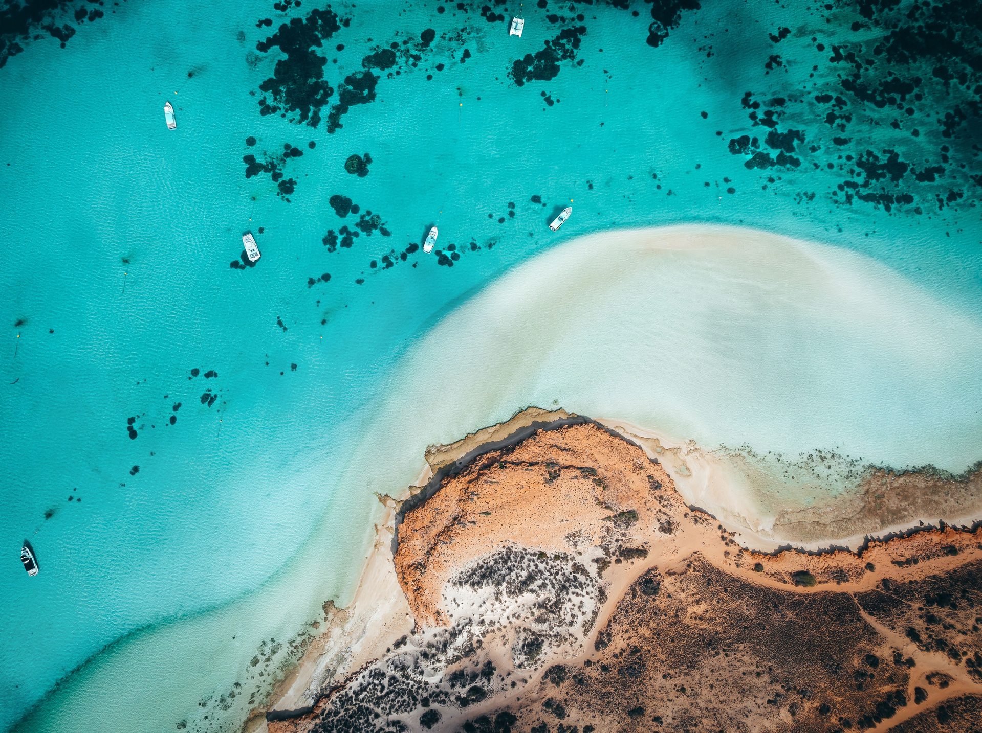
Let Carnarvon's local stories start the day, then watch red earth meet turquoise water as you reach Coral Bay.
Overnight in Coral Bay
/fit-in/1920x0/property-images/6259/5f25ae1f-20260817224131Z-CoralBayPeoplesPark_video_BG.jpg)
/fit-in/1920x0/property-images/6259/f07b9d51-20260115104836Z-001.jpg)
/fit-in/1920x0/property-images/6259/1ec55321-20260817224124Z-20220409_132538-1-1024x768-1.jpeg)
/fit-in/1920x0/property-images/6259/3fe59bd8-20260115104836Z-004.jpg)
/fit-in/1920x0/property-images/6259/c4a84a73-20260115104837Z-005.jpg)
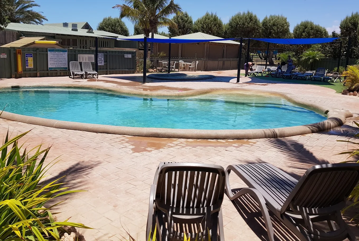
Highlights
- Red earth meets turquoise water near Coral Bay
- Your first evening beside Ningaloo Reef
Driving details(1 leg)
Carnarvon → Coral Bay
238 km · 2 hr 36 min · North West Coastal Highway / National Route 1, Minilya-Exmouth Road
Main-route driving is ordinarily sealed; check Main Roads WA for current conditions and restrictions before departure.
Check Main Roads WA for current conditions before you leave.
Stops along the way
Gwoonwardu Mia
Before continuing north, make room for Gascoyne stories and work from regional Aboriginal artists; move the visit between days 8 and 9 to fit current hours.
Coral Bay
Let tide, weather and your own energy shape a slow day by the water at Coral Bay.
Carry drinking water into Cape Range, assess currents from shore and keep a beach or land-based alternative whenever marine conditions or swimming ability do not suit. Check current updates
Overnight in Coral Bay
Highlights
- A shore-based reef day at your own pace
- Swim, snorkel or simply slow down by the water
Things to do
Bill's Bay
Use the sheltered town beach for a shore-based Ningaloo day, choosing swimming, snorkelling or simply the beach according to local conditions and ability.
Coral Bay to Exmouth
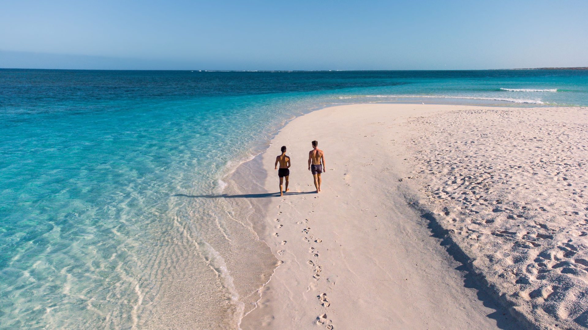
Follow the coast to Exmouth, orient yourself between reef and range, and settle in for the route's final three nights.
Overnight in Exmouth
/fit-in/1920x0/property-images/3531/instances_c9b02787ad6491e0dbcbcc6c8dbb920a_5fa8af53e1dba.jpg)
/fit-in/1920x0/property-images/3531/instances_c9b02787ad6491e0dbcbcc6c8dbb920a_5fa8af545672a.jpg)
/fit-in/1920x0/property-images/3531/instances_c9b02787ad6491e0dbcbcc6c8dbb920a_5fa8af54be414.jpg)
/fit-in/1920x0/property-images/3531/instances_c9b02787ad6491e0dbcbcc6c8dbb920a_56bed8d4e9d4f.jpg)
/fit-in/1920x0/property-images/3531/instances_c9b02787ad6491e0dbcbcc6c8dbb920a_5fa8af5499366.jpg)
/fit-in/1920x0/property-images/4389/dsc02393-1024x683.jpg)
Highlights
- Cape Range and the reef draw closer
- Arrive in Exmouth with two open days ahead
Driving details(1 leg)
Coral Bay → Exmouth
152 km · 1 hr 39 min · Minilya-Exmouth Road
Main-route driving is ordinarily sealed; check Main Roads WA for current conditions and restrictions before departure.
Check Main Roads WA for current conditions before you leave.
Stops along the way
Ningaloo Centre
Orient yourself in Exmouth before committing the final two days, using the centre to understand the reef, range and current visitor options.
Cape Range and the Ningaloo coast
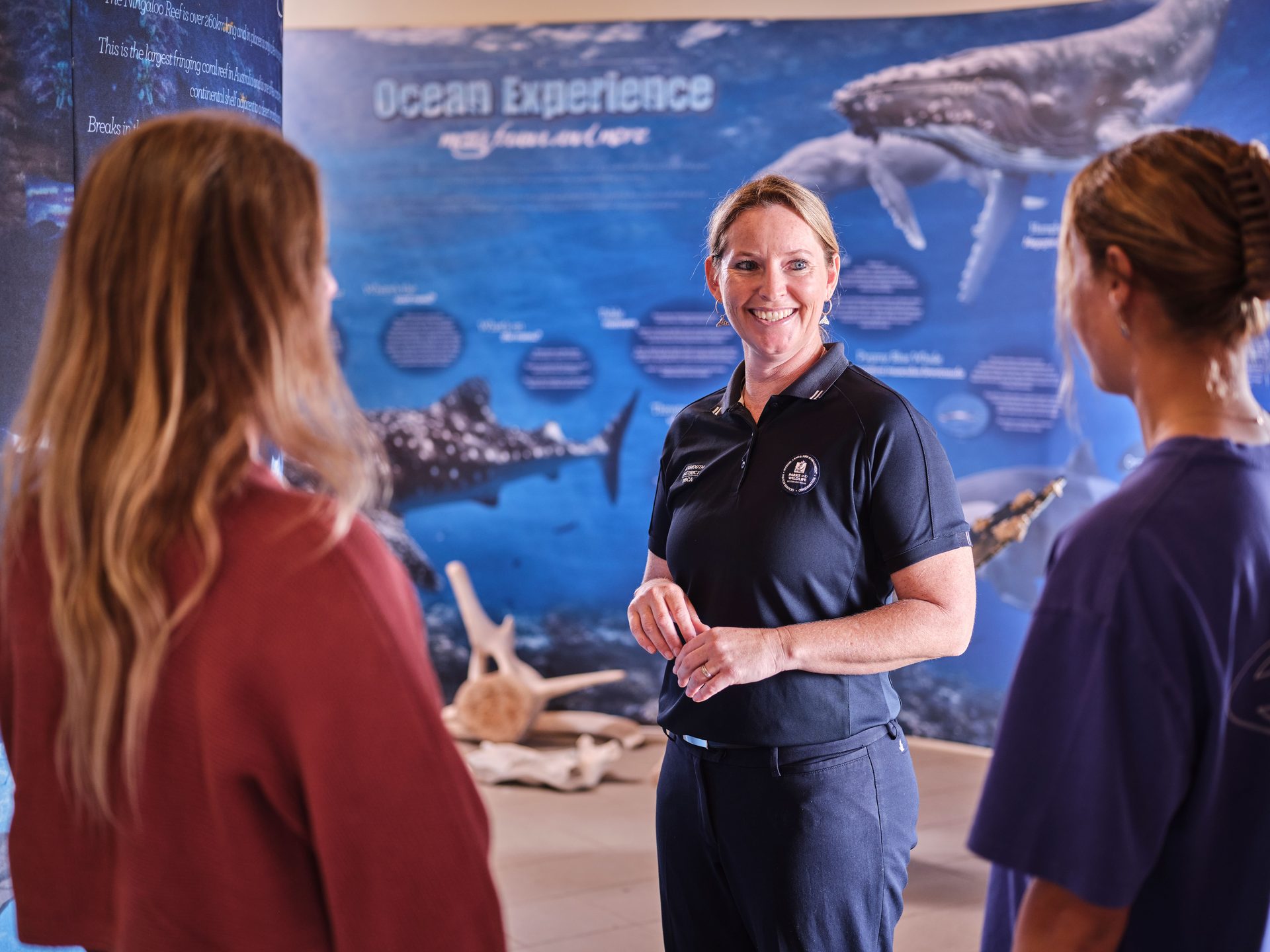
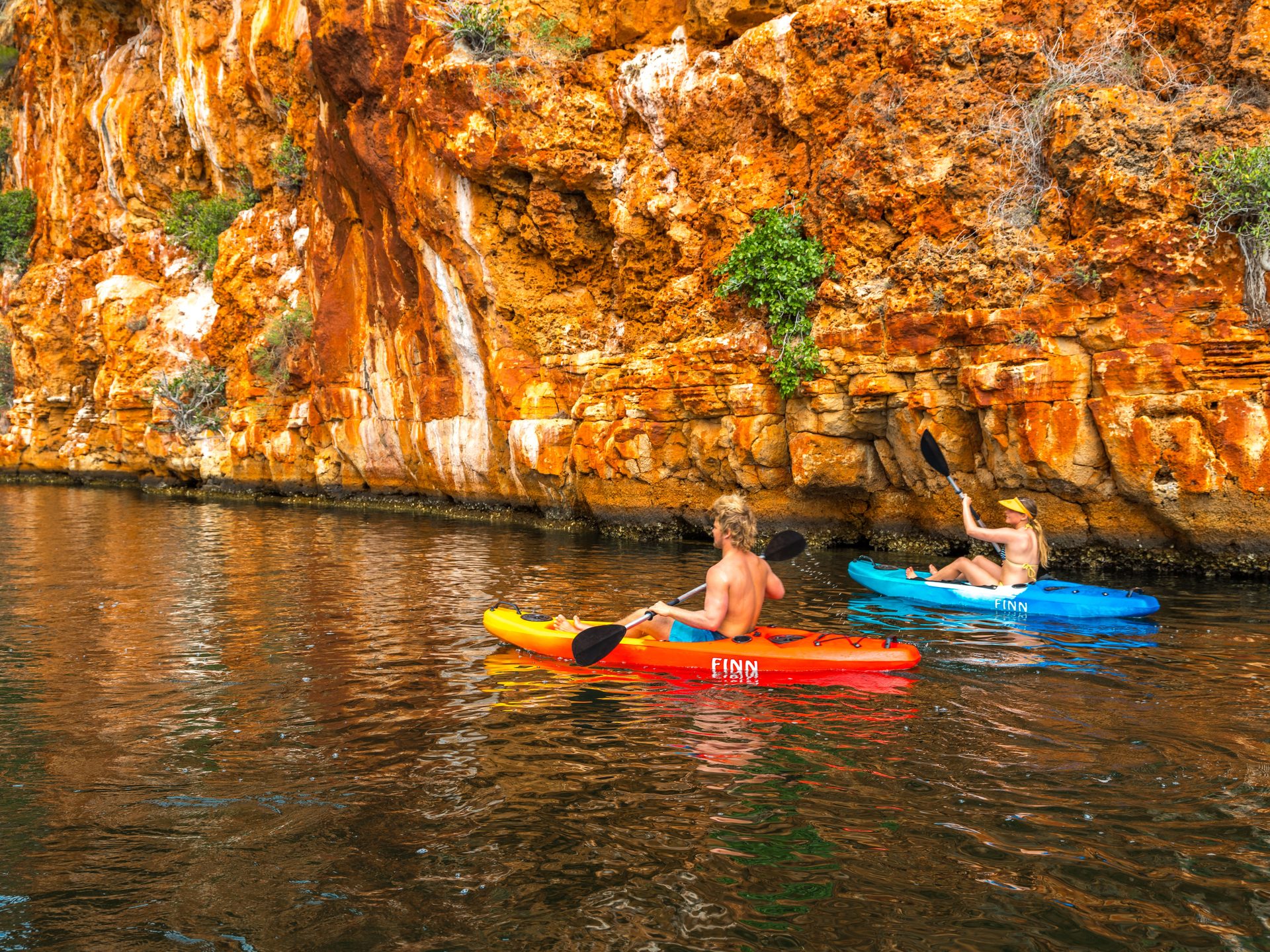
Move between Cape Range's rugged interior and reef-blue beaches, choosing walks and water time to suit the day's conditions.
Carry drinking water into Cape Range, assess currents from shore and keep a beach or land-based alternative whenever marine conditions or swimming ability do not suit. Check current updates
Overnight in Exmouth
Highlights
- Reef-blue water on one side, rugged ranges on the other
- Choose your own rhythm of beaches, lookouts and gorge country
Things to do
Milyering Discovery Centre
Pause inside Cape Range for park and reef interpretation, local guidance and a final conditions check before choosing a beach or trail.
Turquoise Bay
At Turquoise Bay, choose the calmer bay, assess the drift snorkel carefully or stay on the beach; currents and swimming ability should shape the decision.
Exmouth flex day
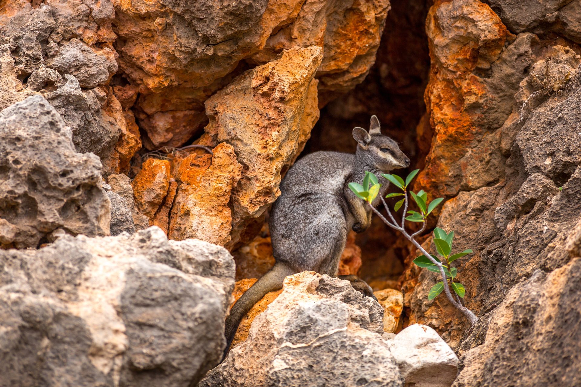
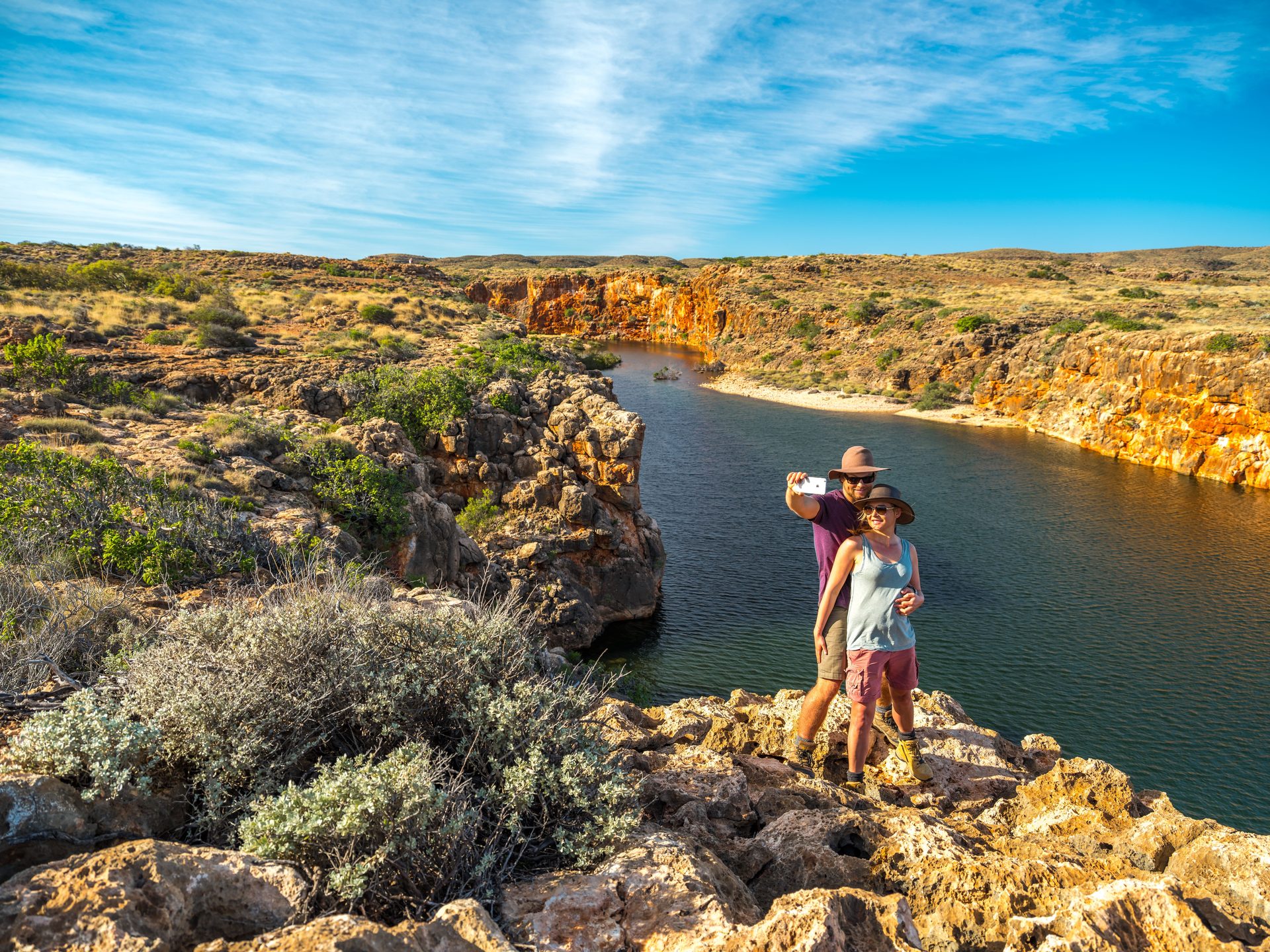
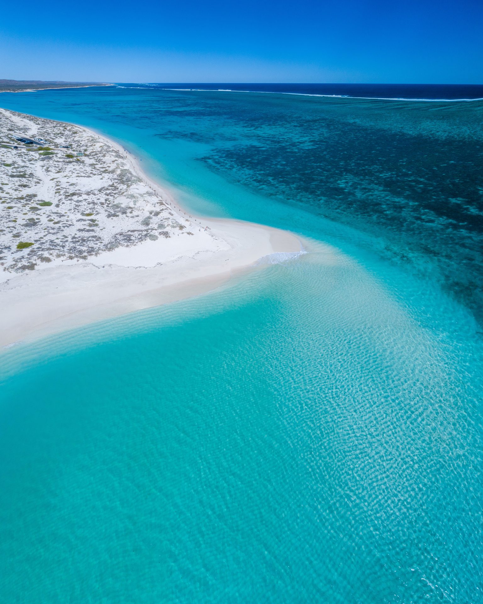
Keep a second Exmouth day open for the experience and conditions that tempt you most, from a wildlife tour to a quiet day on land.
Overnight in Exmouth
Highlights
- Keep the day open for the conditions that inspire you
- Wildlife on the water or a quiet day on land
Things to do
Yardie Creek
At Yardie Creek, choose between the gentle creek-edge path, the harder gorge extension or a pre-checked boat tour, with no need to fit all three into one visit.
Jurabi Turtle Centre
Use the year-round interpretation as a land-based option; treat seasonal guided turtle viewing as a separate, pre-booked wildlife activity with no sighting promise.
Finish in Exmouth
Enjoy an unhurried final morning in Exmouth, with room for one last beach or gorge before the journey continues.
Highlights
- A slow final morning on the Ningaloo coast
- One last beach or gorge before saying goodbye to Exmouth
Viewing full route overview
Before you go
- Best time to travel
- Plan around heat, marine seasons, wildflowers and your preferred wildlife experiences; confirm current park, road and tour conditions before travel.
- Traveller fit
- Best for self-drive travellers who want the journey to Ningaloo to feel as memorable as the reef itself, with time to slow down along the way.
- Preferred direction
- Travel north from Perth to Exmouth.
- Totals include
- Distance and drive time cover the seven base legs between stage centres; they exclude stops, side trips, local touring, traffic and delays.
- Vehicle · car
- The base route has captured ordinary-car directions between stage centres; check live road conditions and each optional outing separately.
- Vehicle · caravan
- Match every leg, side road, park and campsite to your own rig before travel.
- Vehicle · campervan
- Match every leg, side road, park and campsite to your own vehicle before travel.
- Vehicle · motorhome
- Match every leg, side road, park and campsite to your own vehicle before travel.
- Roads
- Check the Main Roads WA Travel Map before every transfer day for current incidents, closures, restrictions and detours. Check current updates
- Towing
- Match every base leg, side road and stay to your own vehicle dimensions, towing setup and licence requirements.
- Pets
- Do not treat this route as pet-friendly: several core national-park stops prohibit pets and Monkey Mia applies additional restrictions. Check current updates
Sources (30)
Official and primary references used for places, access, and trip facts on this itinerary. Check these for tickets, hours, and seasonal closures.
- The Coral Coast Highway itinerary — Australia's Coral Coast
- Gwoonwardu Mia — Australia's Coral Coast
- HMAS Sydney II Memorial Geraldton — Australia's Coral Coast
- Jurien Bay — Australia's Coral Coast
- Australia's Coral Coast nature calendar — Australia's Coral Coast
- The Ningaloo Centre — Australia's Coral Coast
- Cape Range National Park — Explore Parks WA
- Coral Bay — Explore Parks WA
- Francois Peron National Park visitor guide — Explore Parks WA
- Jurabi Turtle Centre — Explore Parks WA
- Jurien Bay Marine Park — Explore Parks WA
- Kalbarri National Park — Explore Parks WA
- Milyering Discovery Centre — Explore Parks WA
- Monkey Mia Dolphin Experience — Explore Parks WA
- Nambung National Park — Explore Parks WA
- Natural Bridge - Castle Cove — Explore Parks WA
- The Loop and Nature's Window — Explore Parks WA
- Nyinggulu (Ningaloo) Coast visitor guide — Explore Parks WA
- DBCA Park Alerts — Department of Biodiversity, Conservation and Attractions
- Pets in parks — Explore Parks WA
- Shell Beach — Explore Parks WA
- Turquoise Bay — Explore Parks WA
- Yardie Creek — Explore Parks WA
- Google Maps review of Perth to Exmouth base legs — Google Maps
- Regional and long distance driving — Main Roads Western Australia
- Main Roads WA Travel Map — Main Roads Western Australia
- Museum of Geraldton — Western Australian Museum
- OpenStreetMap and OSRM display geometry — OpenStreetMap contributors / OSRM
- Shark Bay travel advice — Shark Bay World Heritage Area
- Total Parks Perth to Ningaloo route, pace and POI review — Total Parks
More road trips
Other editorial itineraries on Total Parks.
Route overview
Full route · 1659 km