
 ❤️ Destination NSW
Newcastle to Tweed Heads: a seven-day coastal road trip

Follow the NSW North Coast north from Newcastle to Tweed Heads, slowing down with two-night bases in Port Macquarie, Coffs Harbour and Yamba.

By Dan Wild · Last reviewed 28 July 2026
What to expect
- Two nights in Port Macquarie
- Two nights in Coffs Harbour
- Two nights in Yamba
- A NSW finish at Tweed Heads
Four northbound driving days are separated by non-driving days in each two-night base.
Route at a glance
1.Newcastle
Start pointUse Newcastle as the southern trip boundary before the first northbound leg.
Next: Port Macquarie · 245 km · 2 hr 49 min · Pacific Highway / A1
2.Port Macquarie
2 nights recommendedMake the first two-night stop after the route's longest base leg.
Next: Coffs Harbour · 153 km · 1 hr 42 min · Pacific Highway / A1
3.Coffs Harbour
2 nights recommendedBreak the middle of the corridor with a second two-night base.
Next: Yamba · 133 km · 1 hr 32 min · Pacific Highway / M1
4.Yamba
2 nights recommendedPause for two nights before the final northbound leg to the Tweed.
Next: Tweed Heads · 180 km · 1 hr 57 min · M1
5.Tweed Heads
Trip ends hereFinish at the NSW–Queensland border — a natural end before Brisbane.
Day plan
Newcastle to Port Macquarie
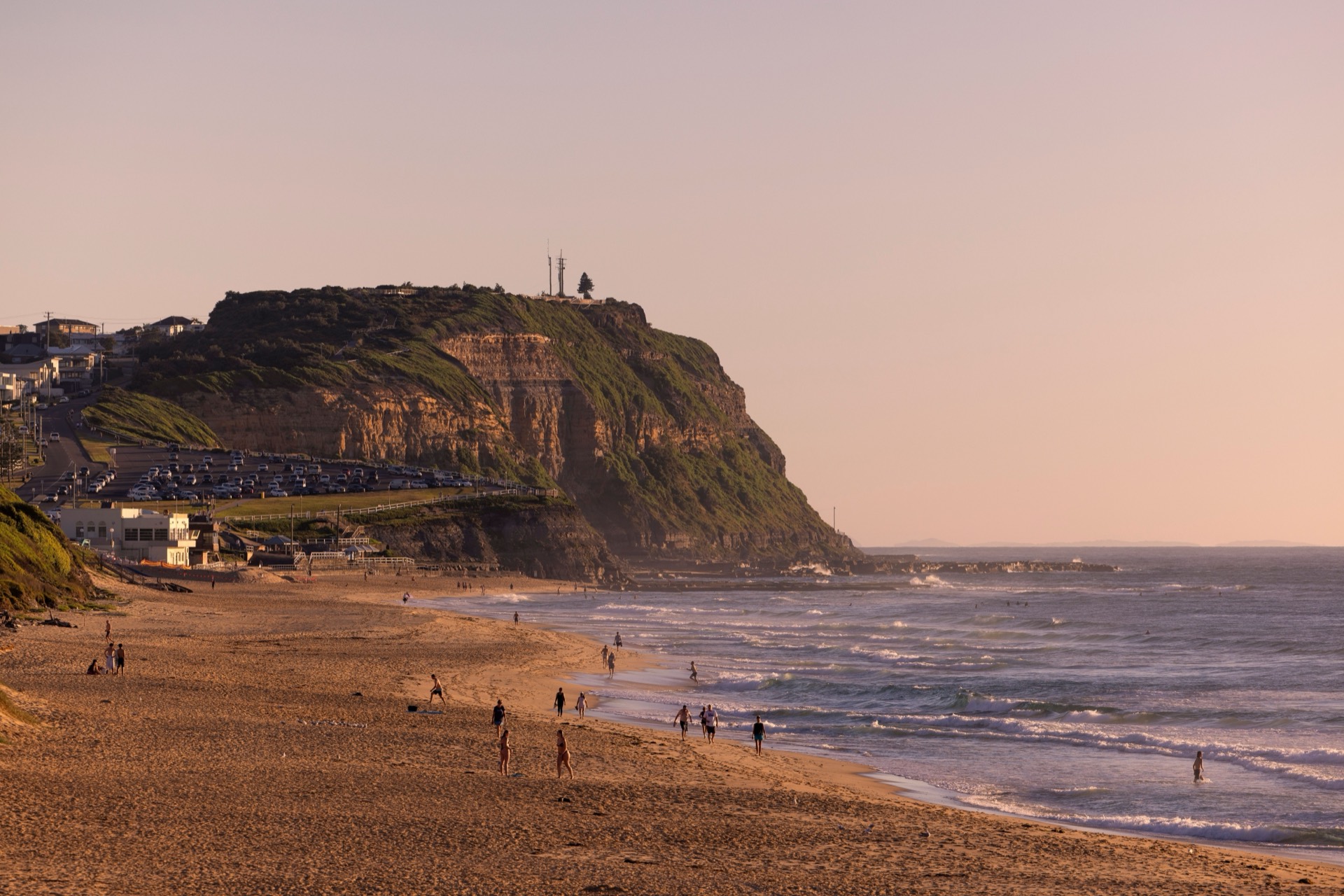
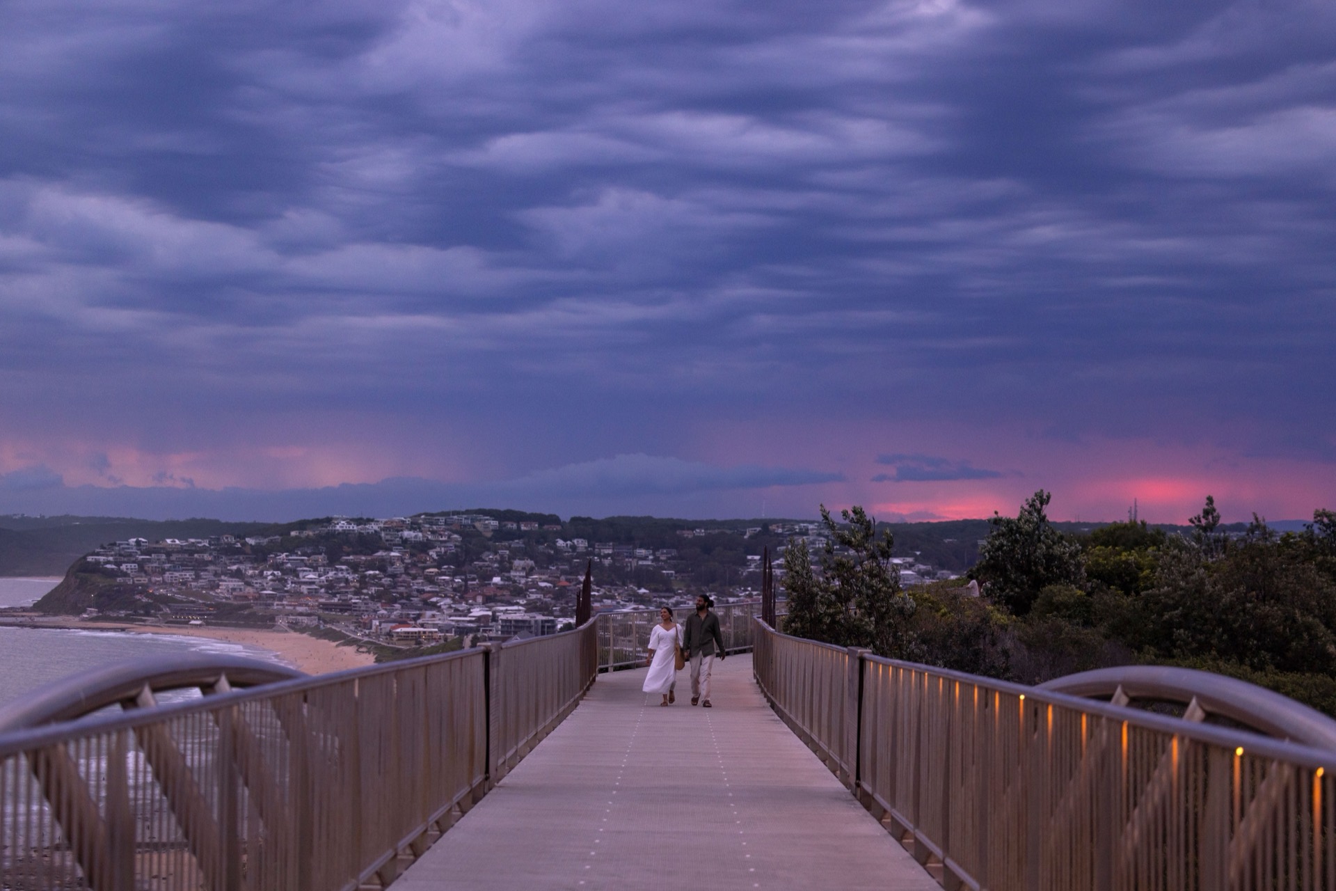
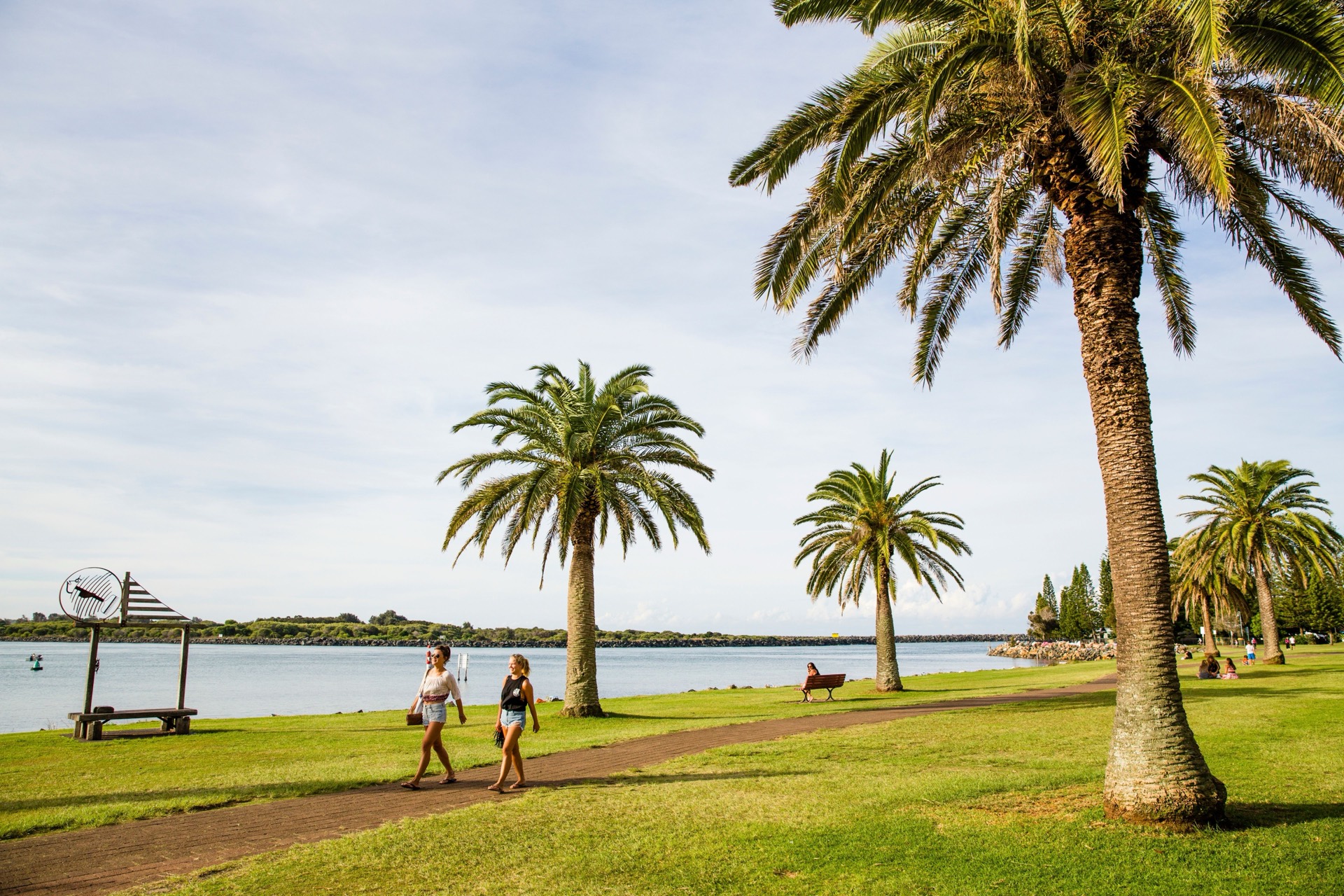
Begin with the route's longest base leg and settle into the first two-night stay.
Overnight in Port Macquarie
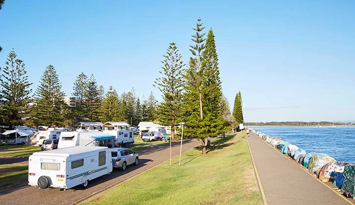
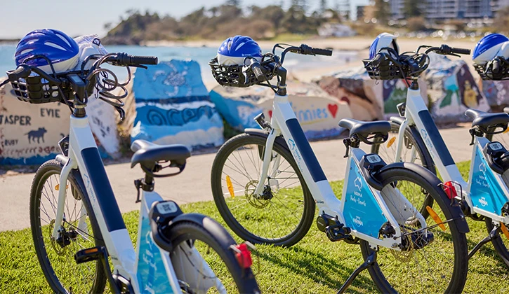
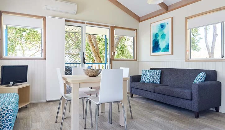
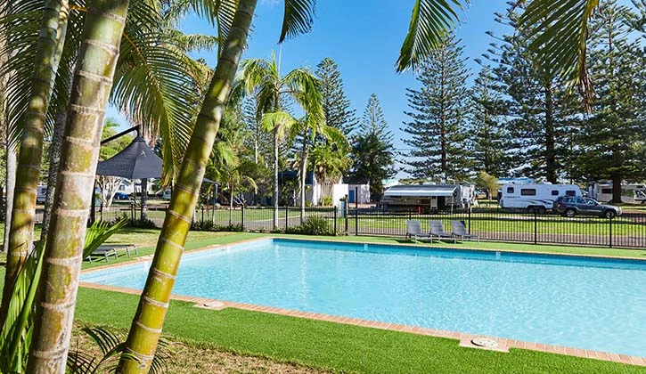
Places to stay near Port Macquarie
/fit-in/1920x0/property-images/2731/pmb_1919x768.jpeg)
/fit-in/1920x0/property-images/5987/0f8f32c9-20260115103945Z-001.jpg)
.webp)
Highlights
- Longest base leg of the itinerary
- First of two nights in Port Macquarie
Driving details(1 leg)
Newcastle → Port Macquarie
245 km · 2 hr 49 min · Pacific Highway / A1
Mostly sealed highway driving; check Live Traffic NSW if weather or incidents may affect the day.
Check Live Traffic NSW for current conditions before you leave.
Port Macquarie
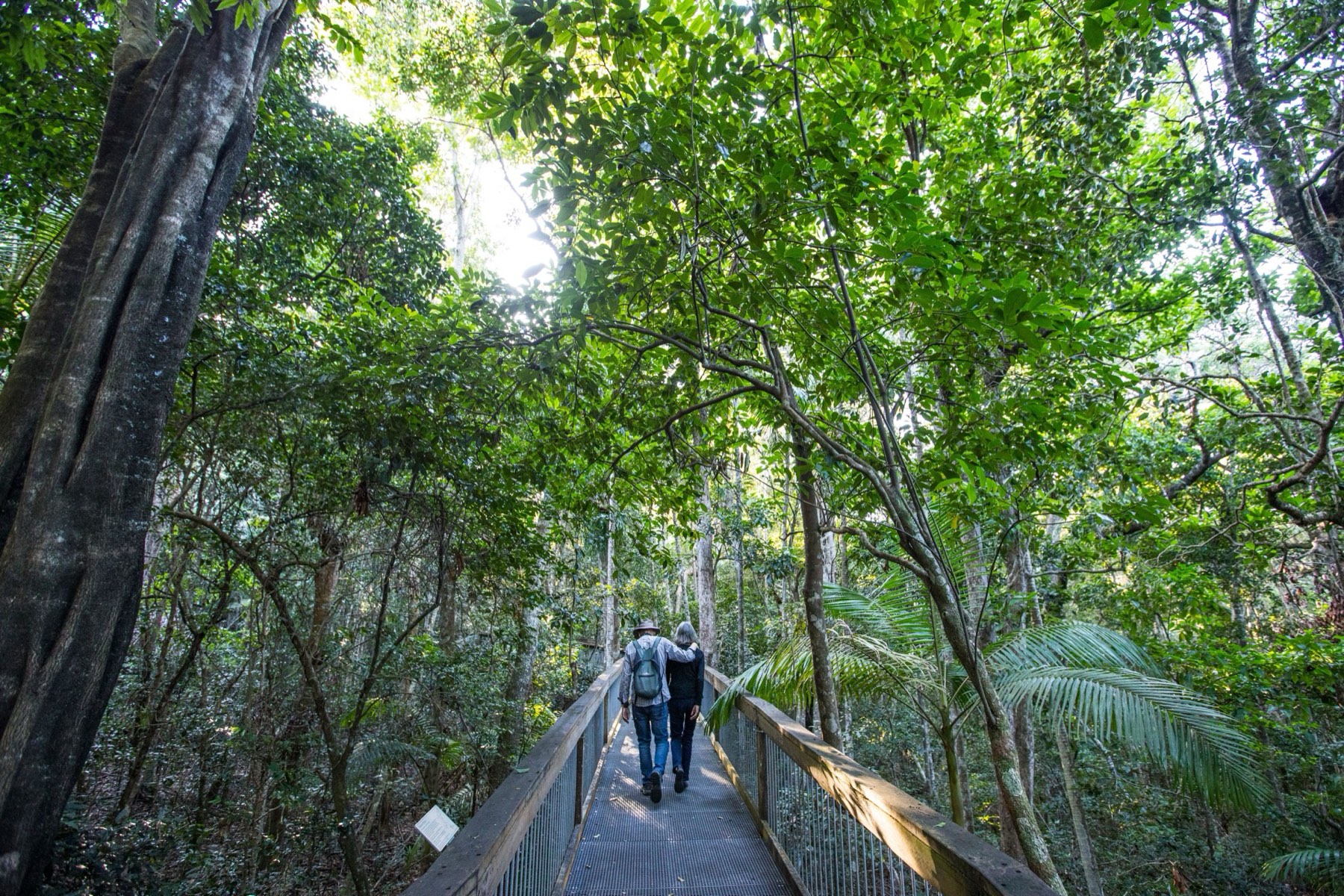
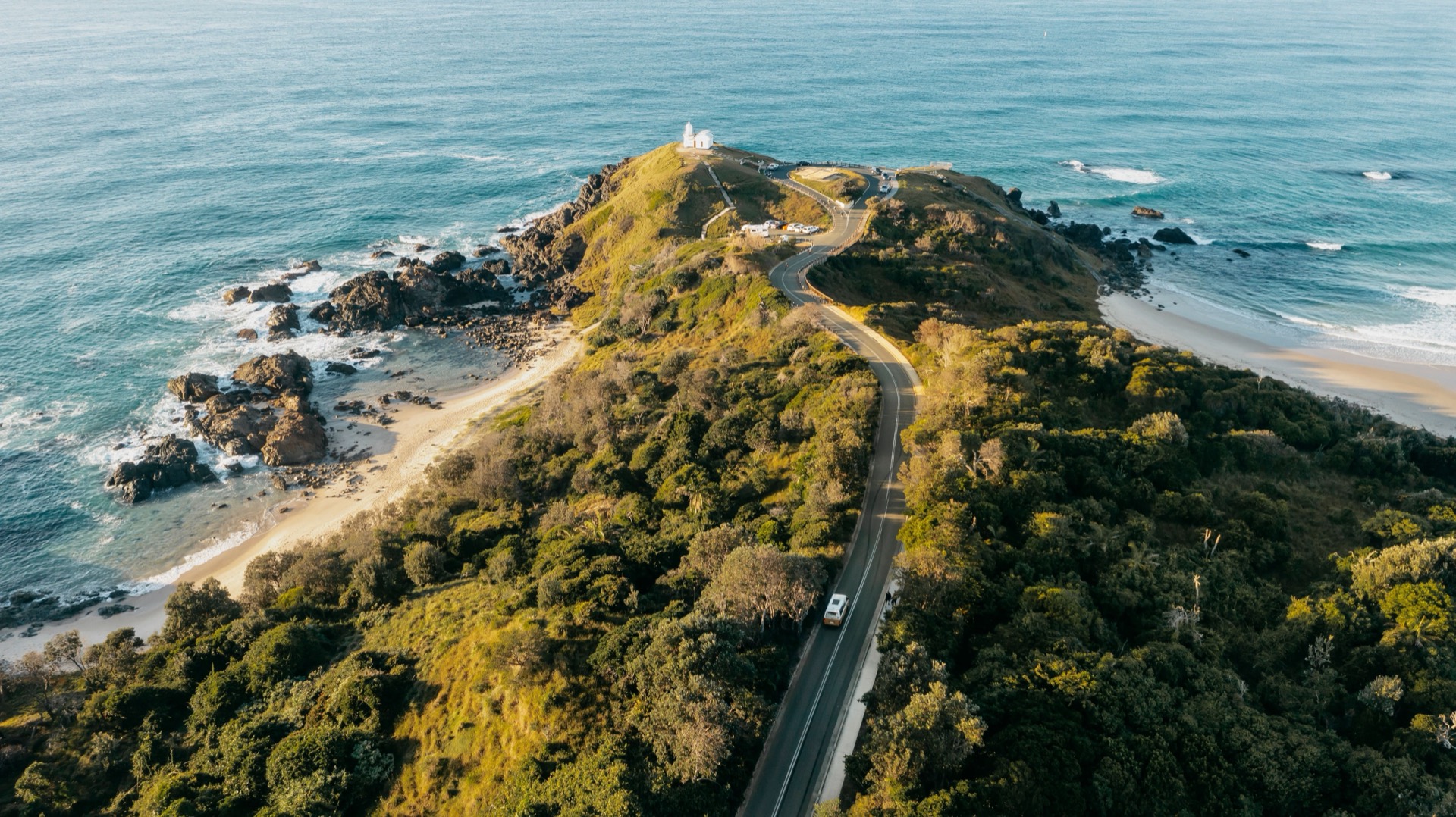
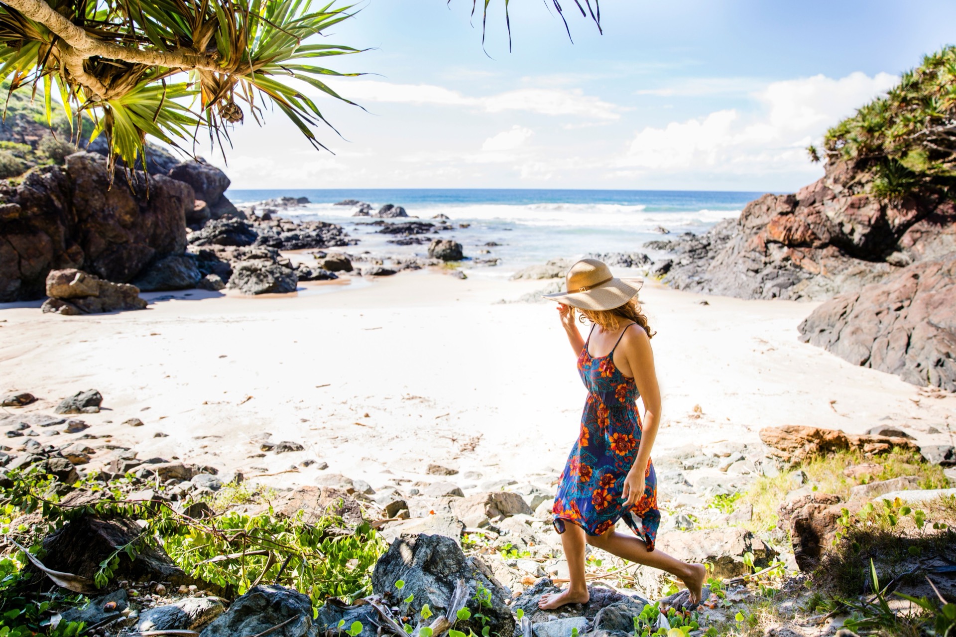
Keep the vehicle parked for a local day around Port Macquarie — rainforest boardwalk, a short coastal lookout, and the temporary koala visitor experience at Guulabaa rather than the closed Lord Street site.
In Port Macquarie, confirm Sea Acres opening details and the current Guulabaa koala-visitor arrangements before you go. Check current updates
Overnight in Port Macquarie
Highlights
- A full day without changing bases
- Rainforest and coastal stops close to town
Things to do
Sea Acres National Park
Visit the Sea Acres Rainforest Centre and the adjacent easy 1.3-kilometre boardwalk as a straightforward Port Macquarie nature stop.
Tacking Point Lighthouse
A short coastal reserve stop with an accessible walkway, seating, picnic space and lookout views.
Koala Conservation Hospital Port Macquarie
This stop uses the temporary Guulabaa - Place of Koala visitor location rather than the closed Lord Street site.
Port Macquarie to Coffs Harbour
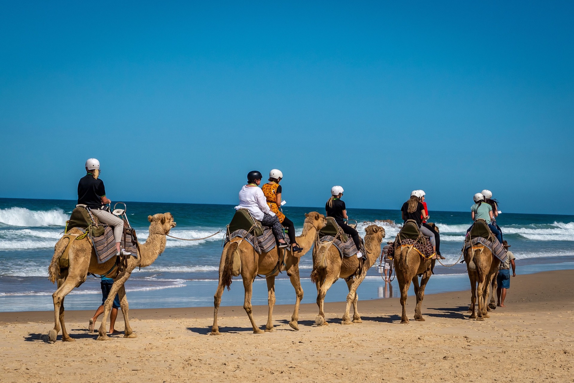
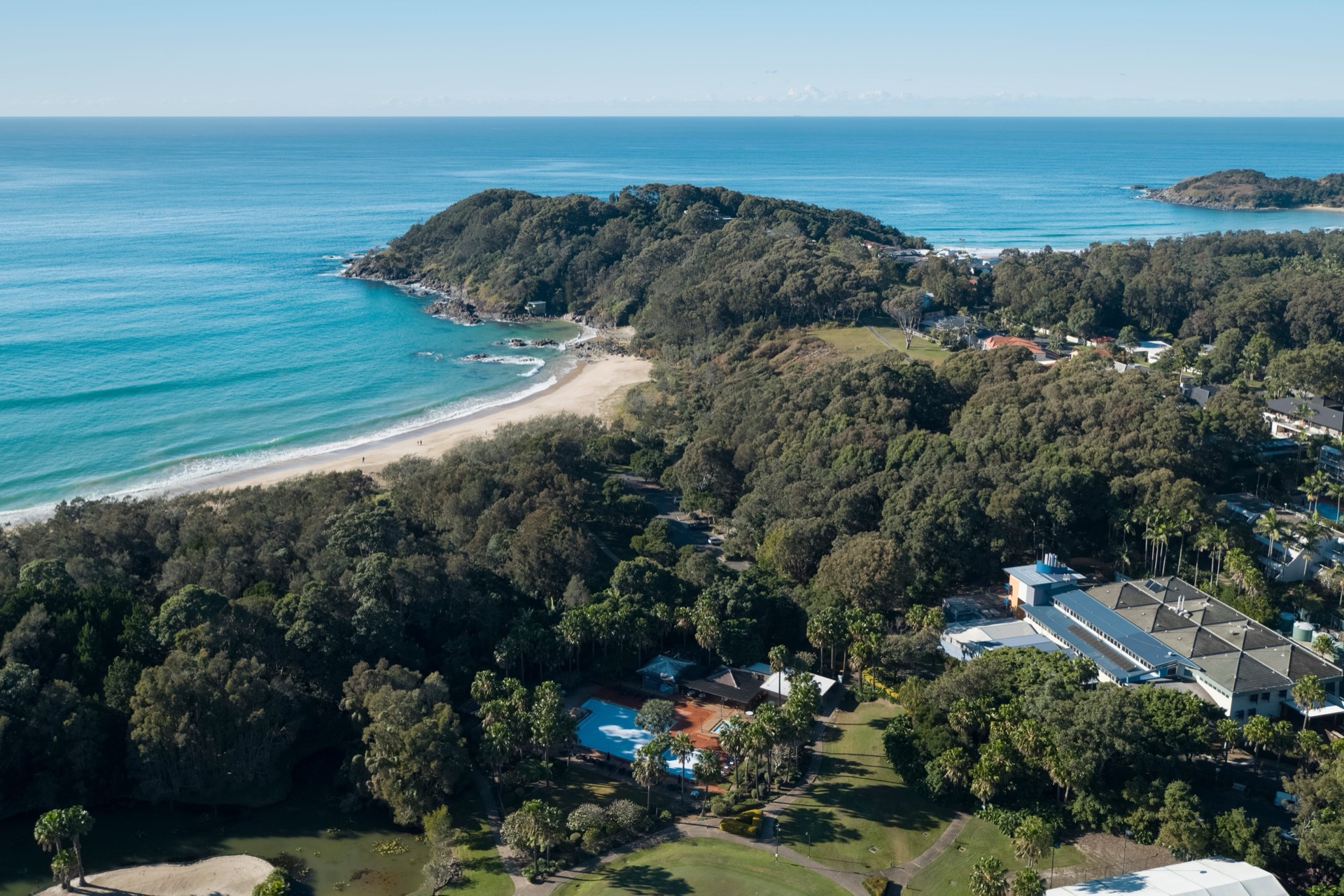
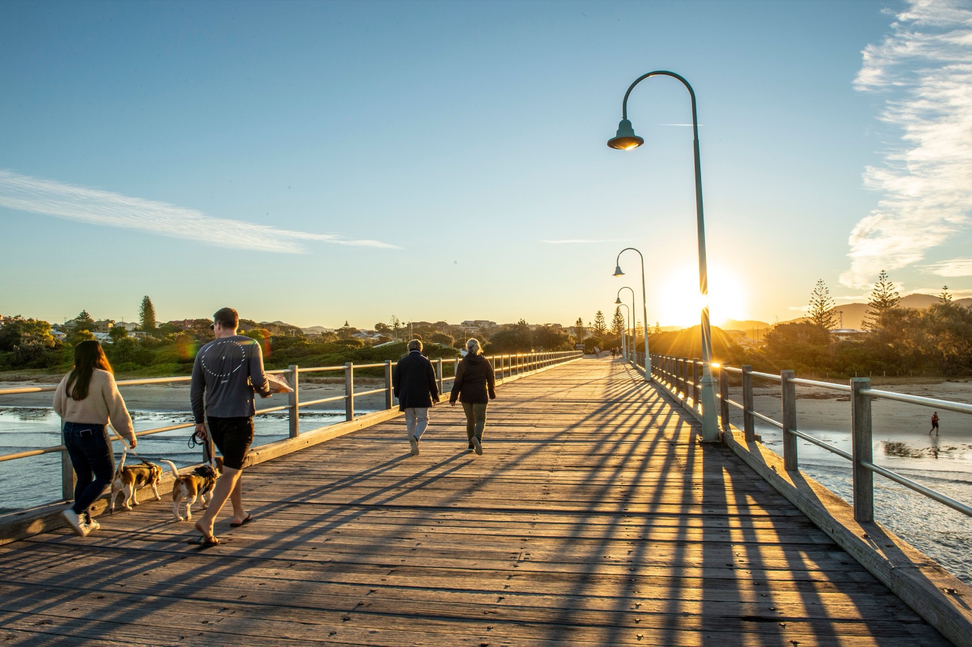
Continue north to the middle two-night base in Coffs Harbour.
Overnight in Coffs Harbour
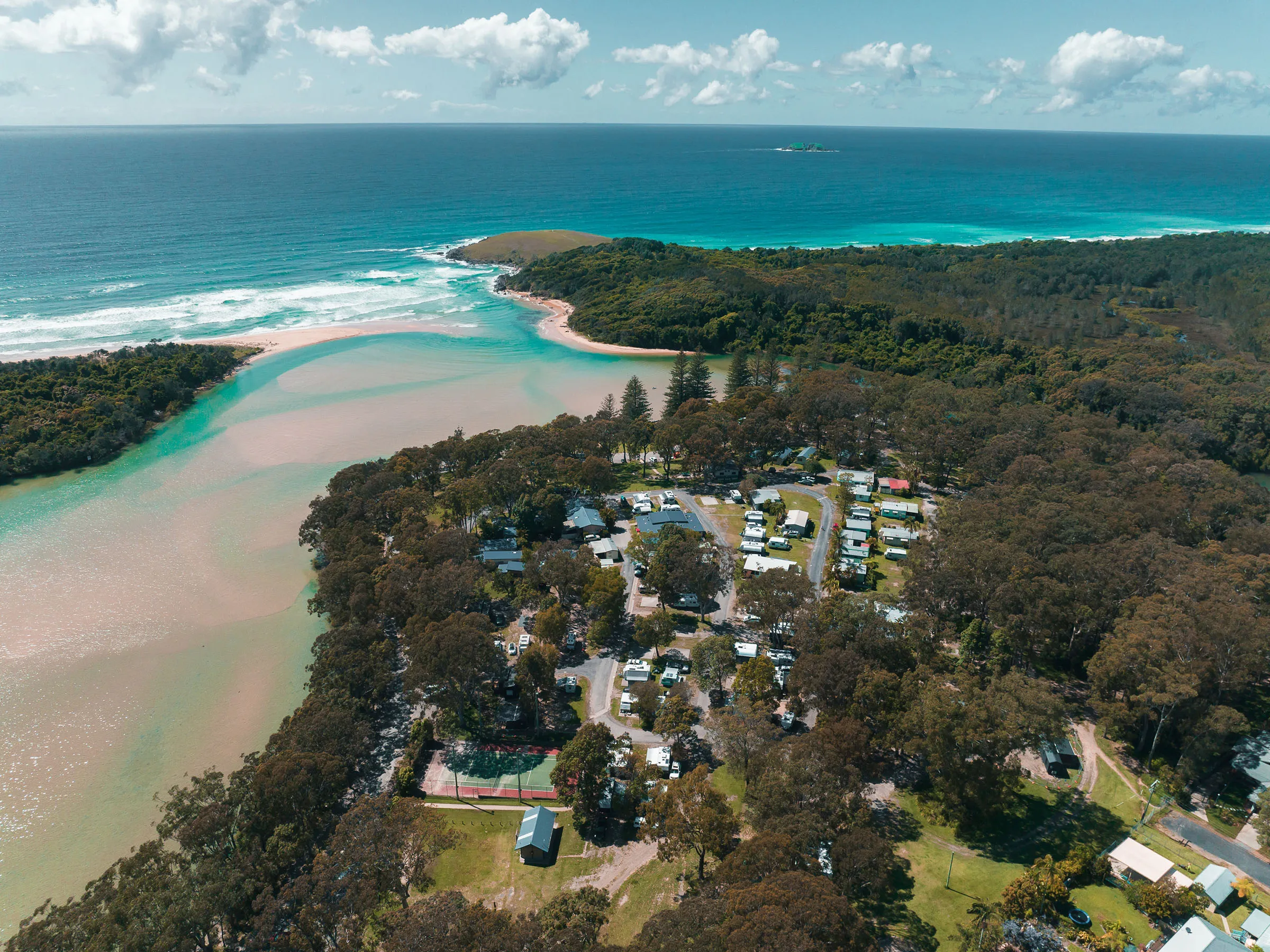
Places to stay near Coffs Harbour
/fit-in/1920x0/property-images/2082/cf370a26eb3844d52b9ffc7d54f74d7eab76e0ac-800x533.jpg)
/fit-in/1920x0/property-images/2082/5a54903126809c769a267b8e19b2bfcaa1132bb0-1900x1266.jpg)
/fit-in/1920x0/property-images/2082/24b366ece6b0a1dfc5ca98d30f15d413442a53b8-900x600.jpg)
/fit-in/1920x0/property-images/2082/6b374800fecc1fb3f6bcb4adf3234df4ede12dc5-2400x1800.jpg)
/fit-in/1920x0/property-images/2163/pb-%E2%80%93-lifestyle-%E2%80%93-mini-golf-543-x-350-19.jpg)
/fit-in/1920x0/property-images/2070/5a505c53d8cac886cbc3c3faeeda00778947b081-2400x1800.jpg)
Highlights
- Pacific Highway transfer north
- First of two nights in Coffs Harbour
Driving details(1 leg)
Port Macquarie → Coffs Harbour
153 km · 1 hr 42 min · Pacific Highway / A1
Mostly sealed highway driving; check Live Traffic NSW if weather or incidents may affect the day.
Check Live Traffic NSW for current conditions before you leave.
Coffs Harbour
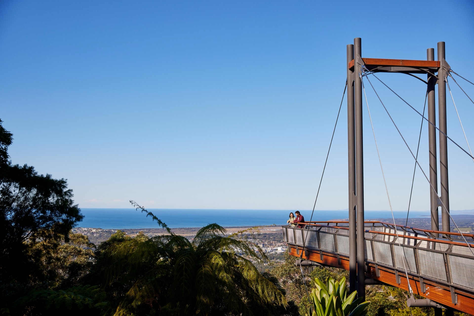
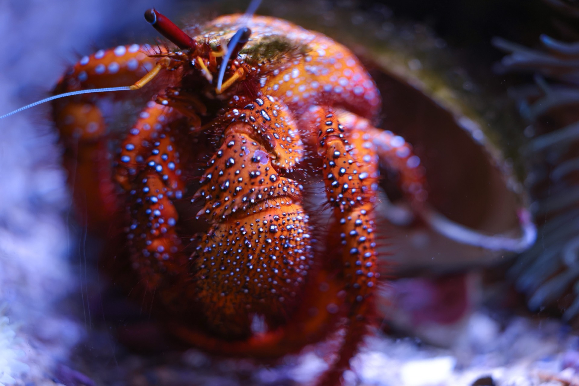
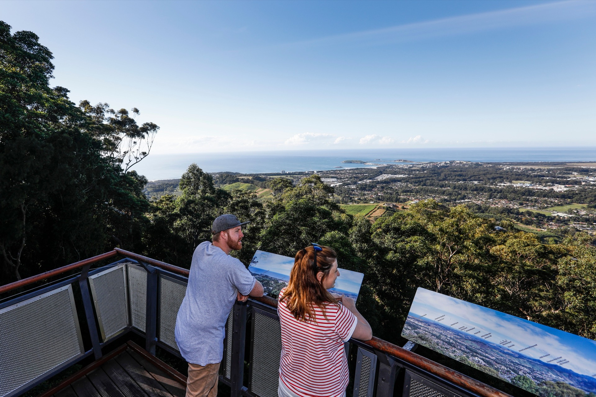
Spend the day on the Coffs Coast without packing up the van — a short harbour reserve walk, a daylight lookout stop, and an interpreted marine session if opening times suit.
Confirm Solitary Islands Aquarium session times and opening days before you lock in that stop. Check current updates
Overnight in Coffs Harbour
Highlights
- A full day without changing bases
- Harbour reserve walk and a daylight lookout
Things to do
Muttonbird Island Nature Reserve
A short reserve walk with seabird, cultural and coastal-lookout interest near the harbour.
Forest Sky Pier
A daylight-access lookout with coastal views, walking tracks, picnic facilities, toilets and step-free access from the carpark.
Solitary Islands Aquarium
An interpreted marine stop with aquariums, demonstrations and interactive displays at the National Marine Science Centre.
Coffs Harbour to Yamba
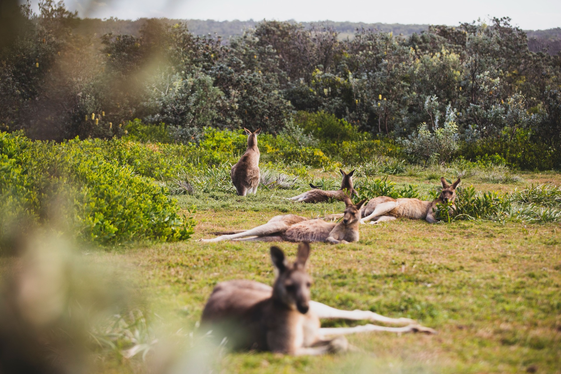
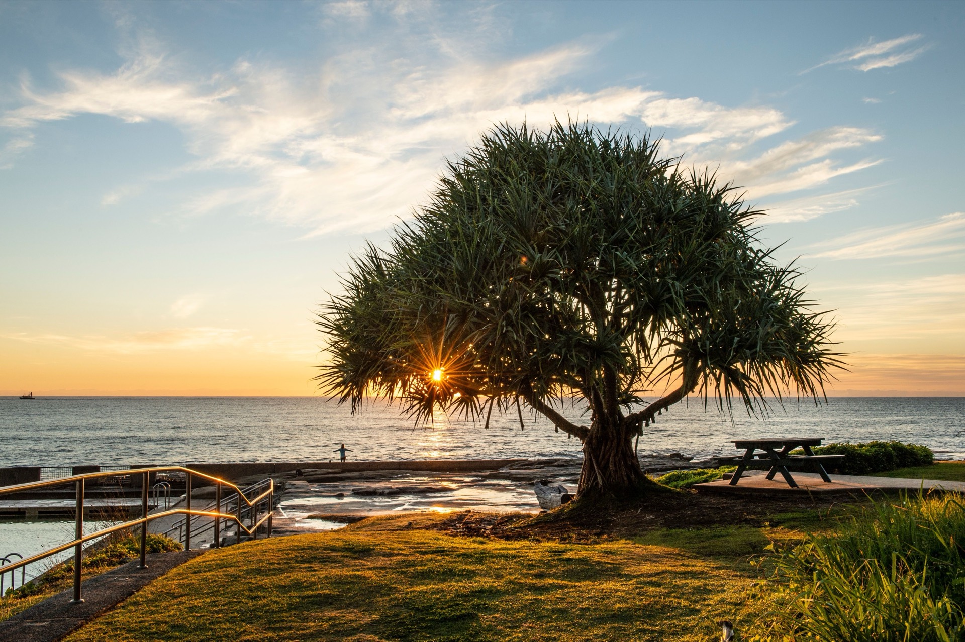
Drive north into the Clarence Valley and settle into Yamba for two nights.
Overnight in Yamba
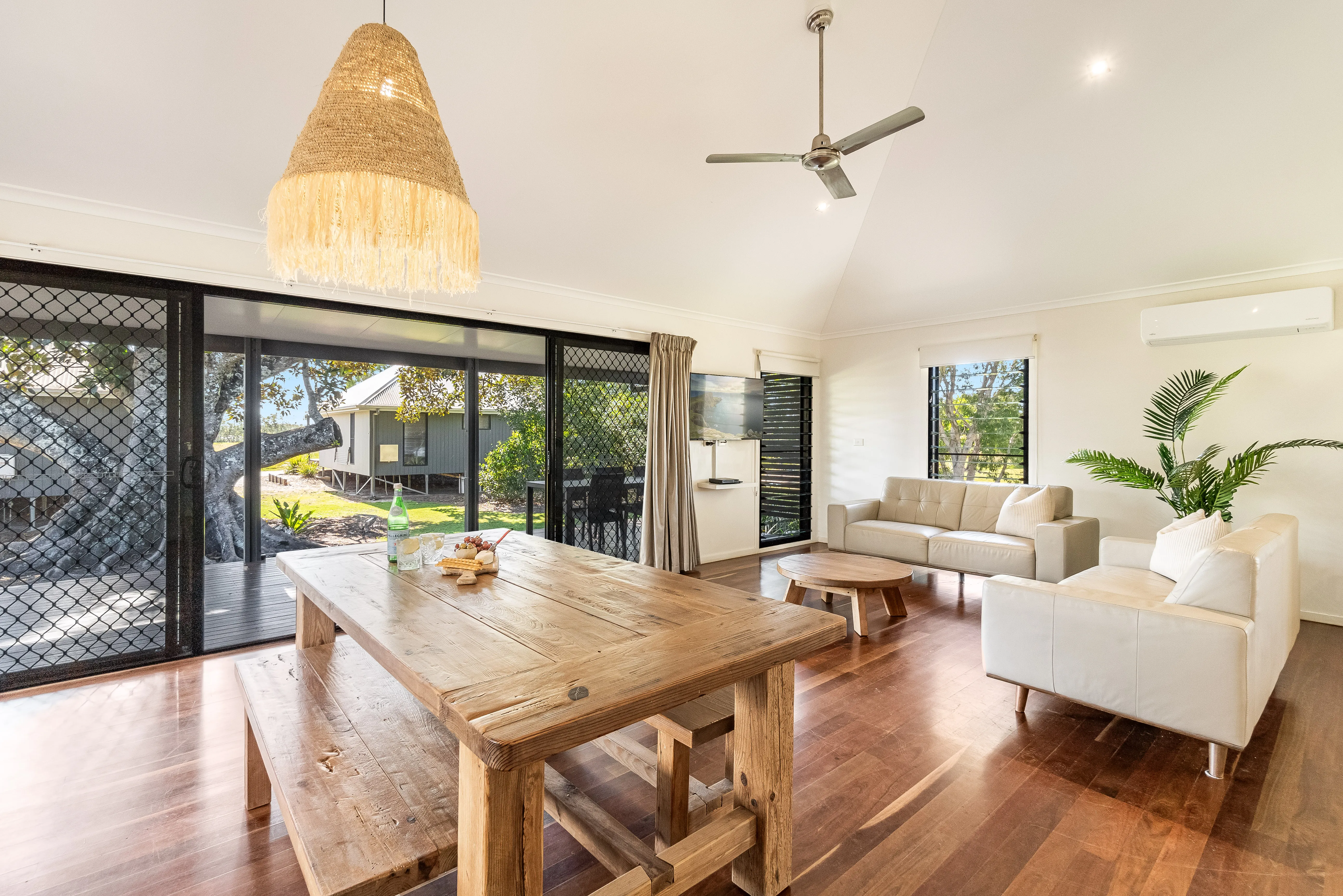
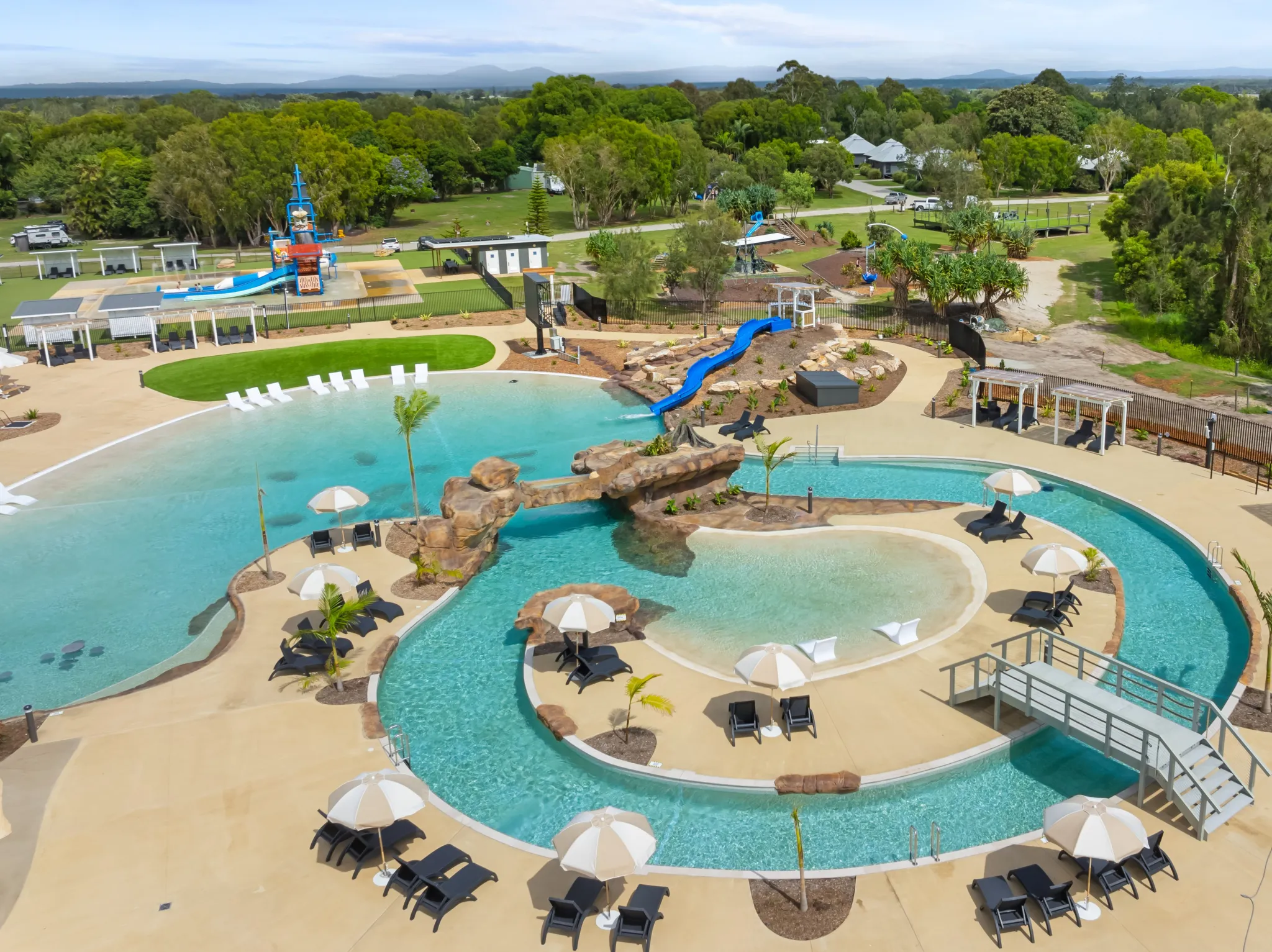
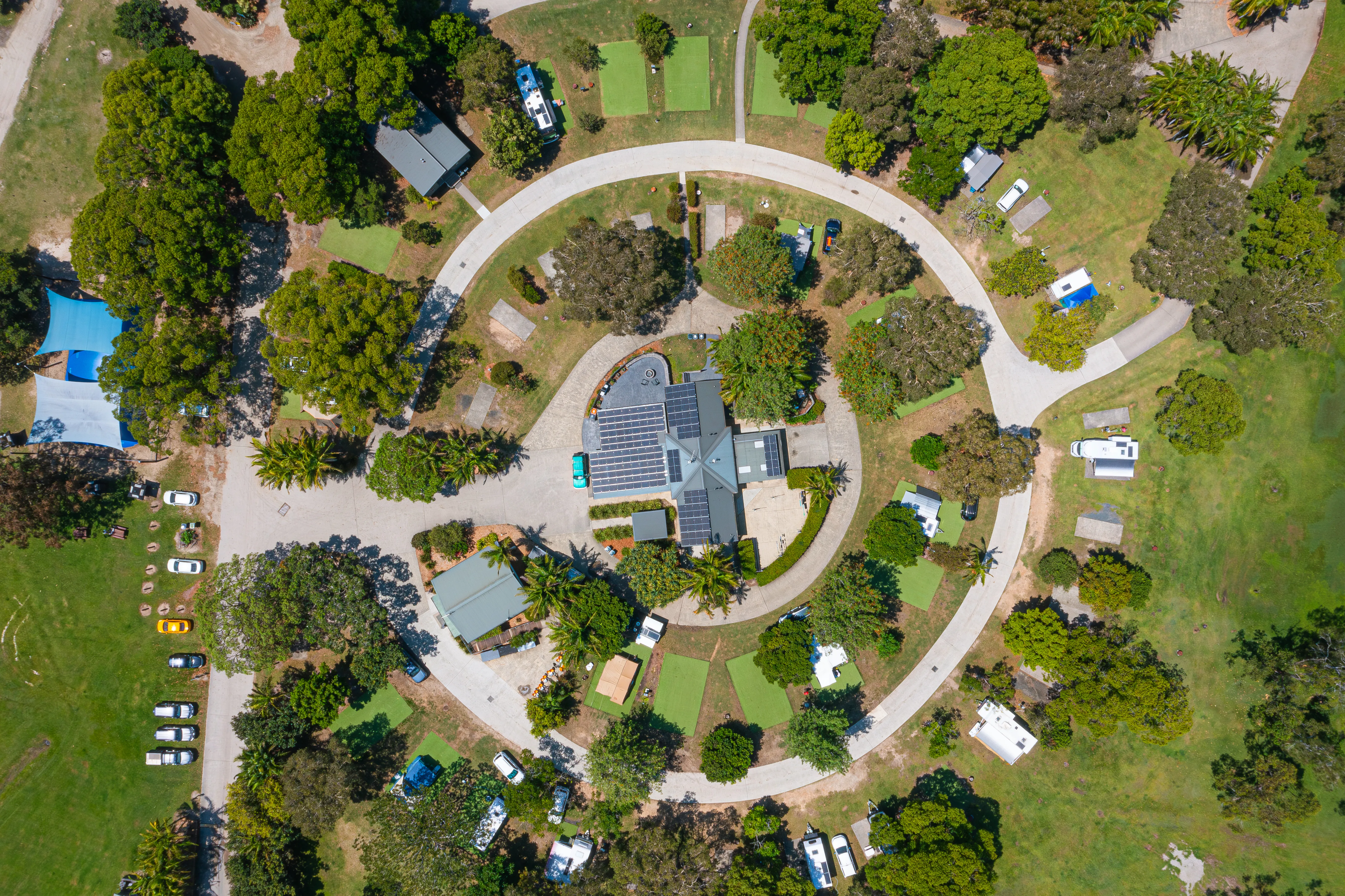
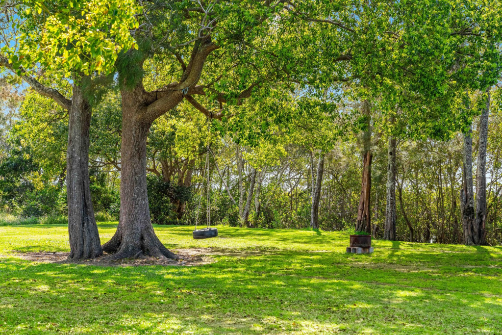
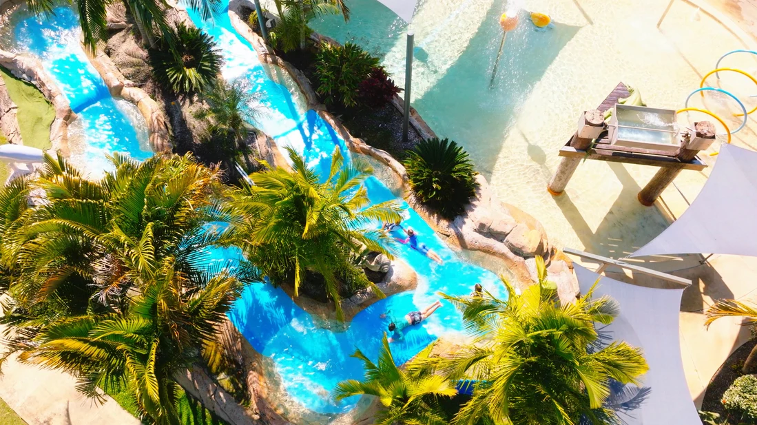
Places to stay near Yamba


Highlights
- Pacific Highway transfer north
- First of two nights in Yamba
Driving details(1 leg)
Coffs Harbour → Yamba
133 km · 1 hr 32 min · Pacific Highway / M1
Mostly sealed highway driving; check Live Traffic NSW if weather or incidents may affect the day.
Check Live Traffic NSW for current conditions before you leave.
Yamba
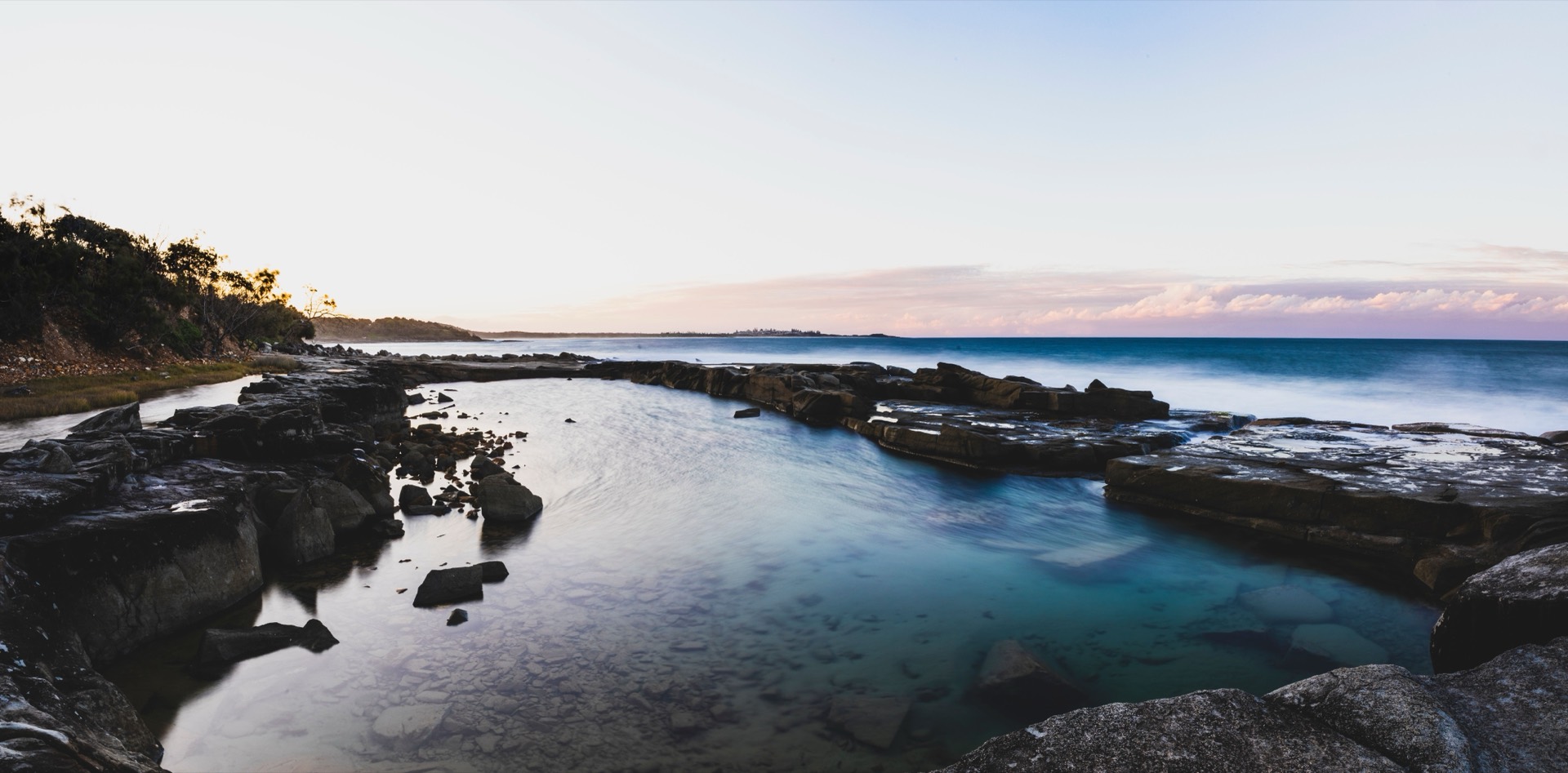
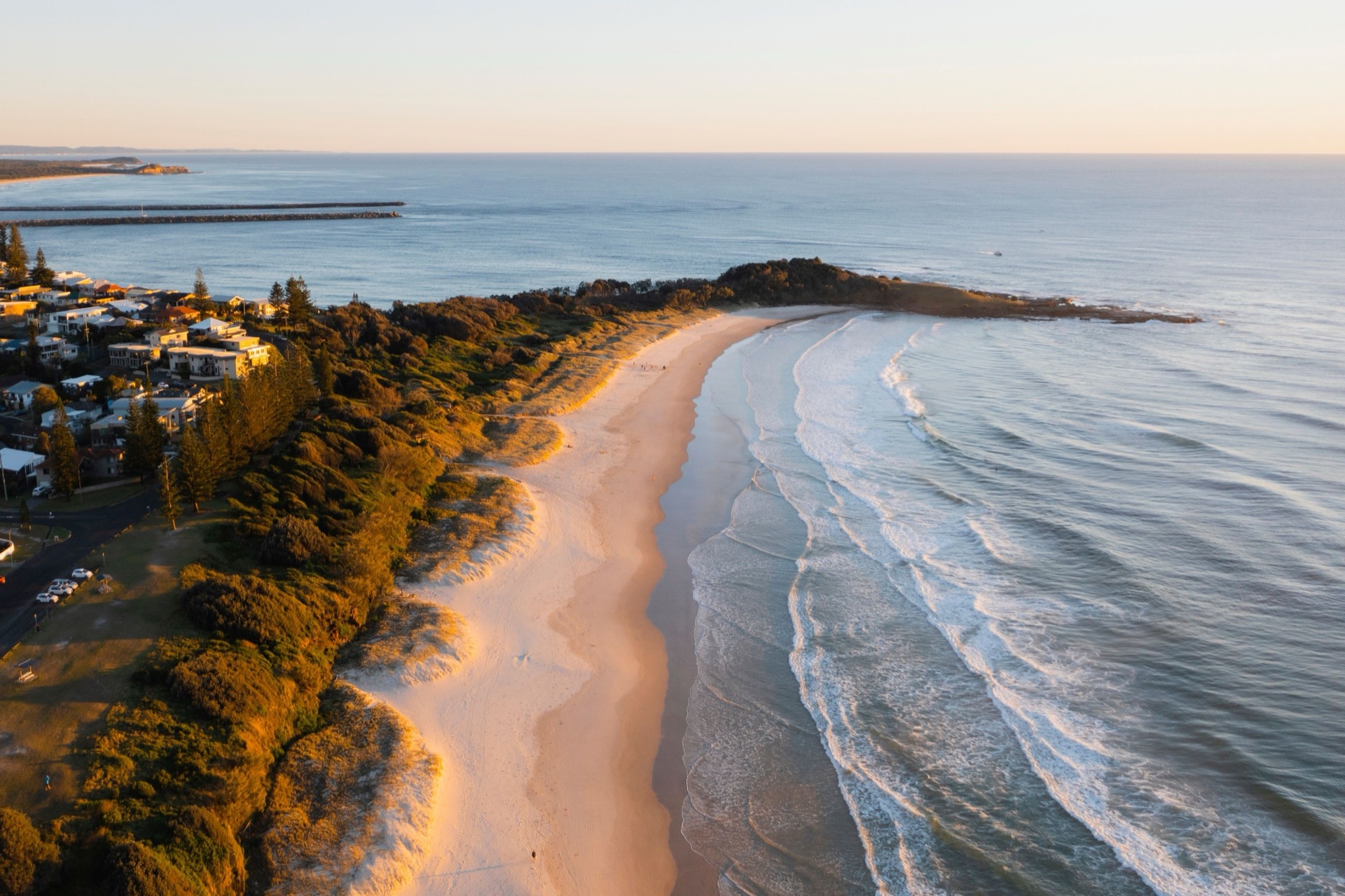
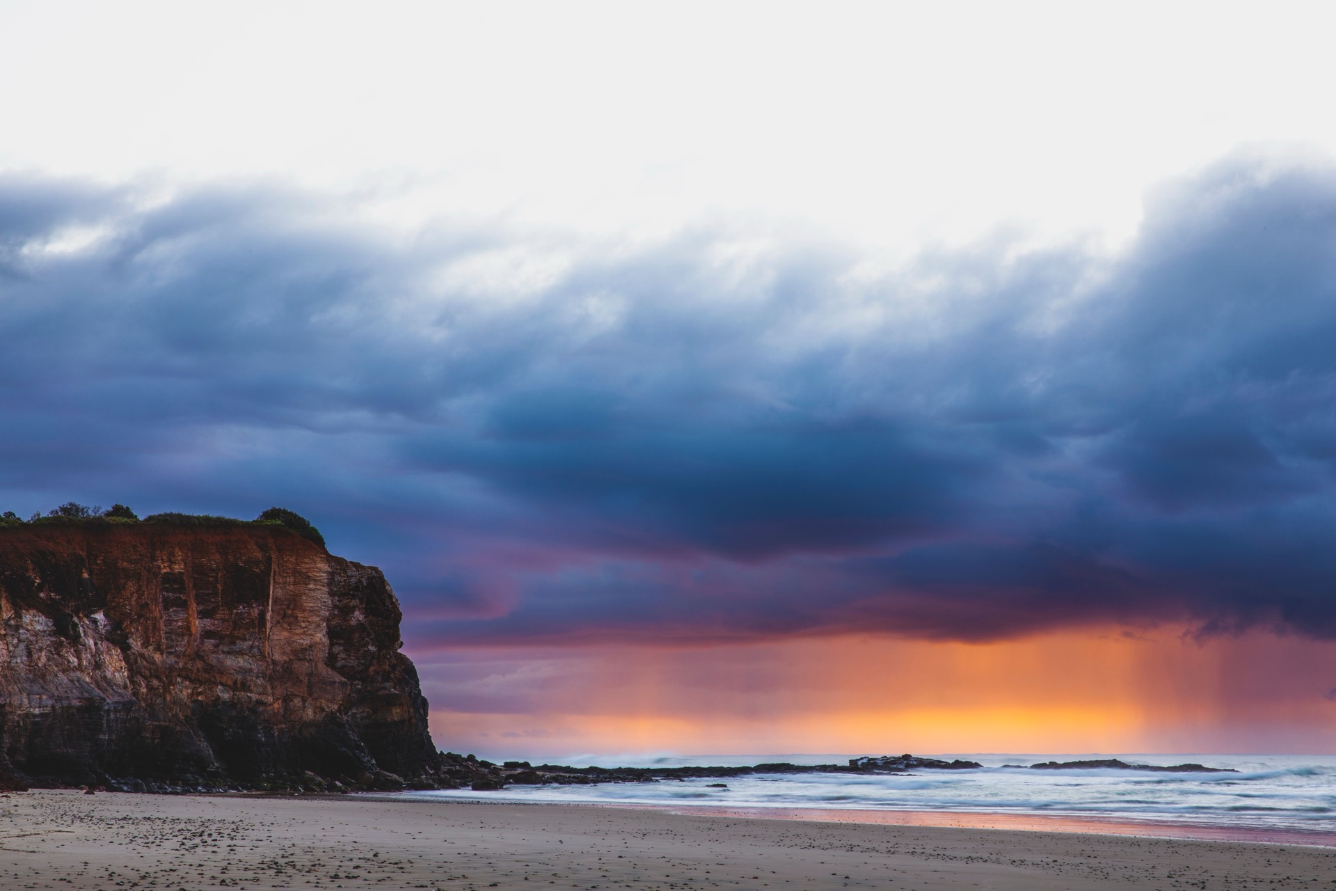
Spend a non-driving day around Yamba and the nearby coast — Pilot Hill views, the Angourie pools reserve, and a short northern Yuraygir outing from Angourie Bay.
At Angourie, check current pool access and swimming advice, plus any Yuraygir alerts or fees, before you visit. Check current updates
Overnight in Yamba
Highlights
- A full day without changing bases
- Coastal lookouts and reserves near town
Things to do
Yamba Lighthouse
A simple Pilot Hill lookout stop with coastal views and picnic facilities.
Angourie Blue Pool
Visit the Blue and Green Pools reserve for its landscape and walking paths — check current swimming advice before you jump in.
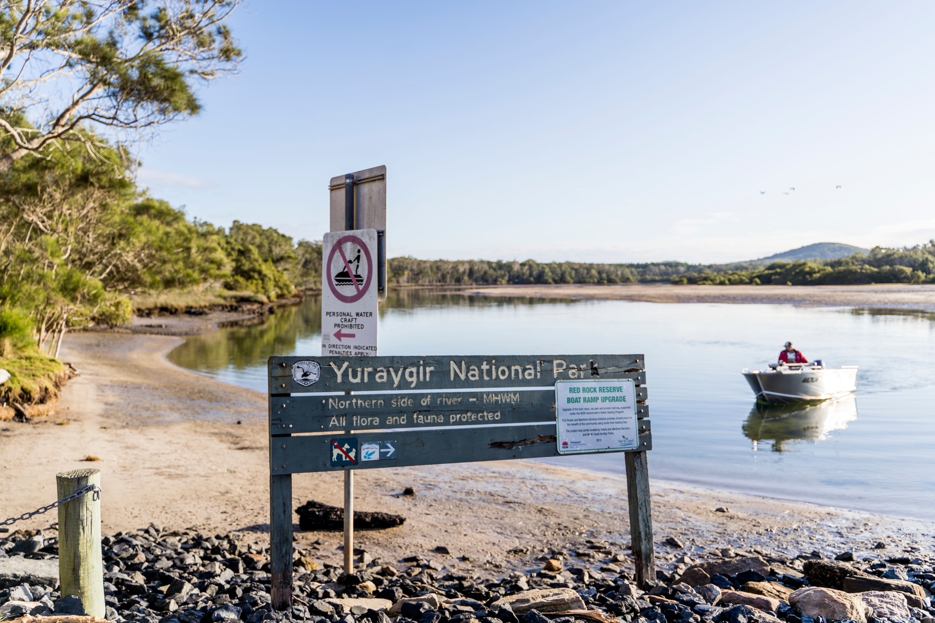
Yuraygir National Park
A northern Yuraygir outing centred on the Angourie Bay picnic area.
Yamba to Tweed Heads
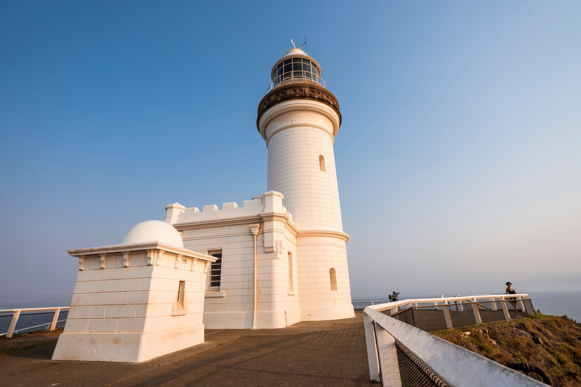
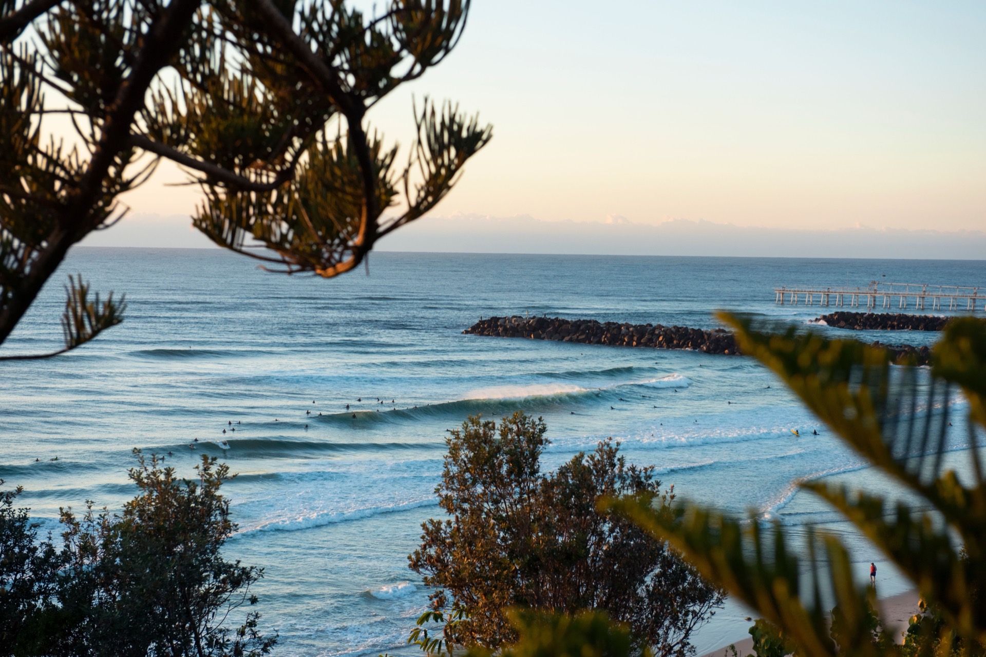
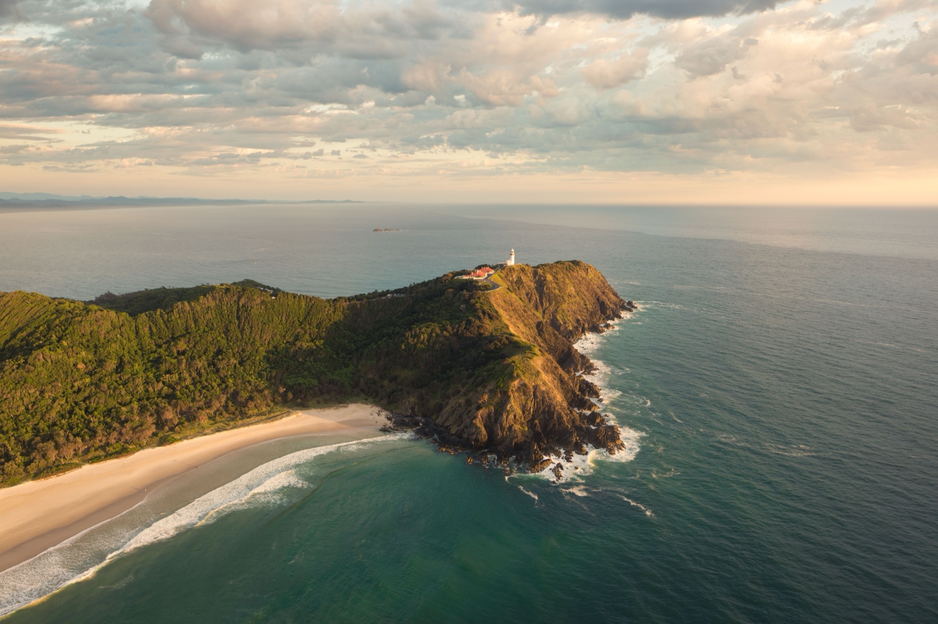
Roll into Tweed Heads at the NSW–Queensland border, with Cape Byron Lighthouse as an optional side trip rather than part of the base drive.
Highlights
- Optional Cape Byron side trip
- NSW finish at Tweed Heads
Driving details(1 leg)
Yamba → Tweed Heads
180 km · 1 hr 57 min · M1
Mostly sealed highway driving; check Live Traffic NSW if weather or incidents may affect the day.
Check Live Traffic NSW for current conditions before you leave.
Optional detour (+20 km, +37 min). Excluded from base totals.
Stops along the way
Cape Byron Lighthouse
An optional leg stop east of Byron Bay with sealed-road access and an outside precinct that has step-free access from the carpark.
Route impact +20 km · +37 min
Viewing full route overview
Before you go
- Best time to travel
- The NSW north coast is a year-round drive. Spring and autumn are especially pleasant; summer is busy and humid, winter quieter and milder for driving days.
- Traveller fit
- Designed for self-drive and park-based travellers who prefer short driving days up the NSW north coast.
- Preferred direction
- Travel north from Newcastle to Tweed Heads.
- Totals include
- Distance and drive time cover the four main legs between overnight towns — they don't include stops, side trips, traffic or delays.
- Vehicle · car
- Straightforward car driving between overnight towns — still check Live Traffic NSW for the day's conditions.
- Vehicle · caravan
- A popular tow for many travellers — match each day's roads to your own caravan before you set out.
- Vehicle · campervan
- A popular drive for campervans — match each day's roads to your own setup before you set out.
- Vehicle · motorhome
- A popular drive for motorhomes — match each day's roads to your own setup before you set out.
- Roads
- Before each driving day, check Live Traffic NSW for incidents and delays along the Pacific Highway corridor. Check current updates
- Towing
- If you're towing, confirm your mass and towing limits, leave extra stopping distance, and build in more rest breaks.
Sources (30)
Official and primary references used for places, access, and trip facts on this itinerary. Check these for tickets, hours, and seasonal closures.
- Visit NSW North Coast destination overview — Destination NSW
- Human review of Newcastle to Tweed Heads legs in Google Maps — Google Maps
- Total Parks Newcastle to Tweed Heads route and pace review — Total Parks
- OpenStreetMap and OSRM display geometry — OpenStreetMap contributors / OSRM
- Live Traffic NSW — Transport for NSW
- Transport for NSW caravan safety guidance — Transport for NSW
- Human-selected Newcastle to Tweed Heads POI and pacing review — Total Parks
- Total Parks Newcastle to Tweed Heads stay-candidate review — Total Parks
- Sea Acres Rainforest Centre — NSW National Parks and Wildlife Service
- Reviewed OpenStreetMap coordinate for Sea Acres National Park — OpenStreetMap contributors
- Tacking Point Lighthouse Reserve — Port Macquarie-Hastings Council
- Port Macquarie Koala Hospital temporary relocation — Koala Conservation Australia
- Guulabaa Place of Koala directions — Guulabaa Place of Koala
- Human-reviewed Guulabaa visitor coordinate — Total Parks
- Muttonbird Island Nature Reserve — NSW National Parks and Wildlife Service
- Reviewed OpenStreetMap coordinate for Muttonbird Island — OpenStreetMap contributors
- Forest Sky Pier at Niigi Niigi - Sealy Lookout — Coffs Coast
- Reviewed OpenStreetMap coordinate for Forest Sky Pier — OpenStreetMap contributors
- Solitary Islands Aquarium visit information — Southern Cross University
- Reviewed OpenStreetMap coordinate for Solitary Islands Aquarium — OpenStreetMap contributors
- Yamba Lighthouse — Clarence Valley tourism
- Reviewed OpenStreetMap coordinate for Yamba Lighthouse — OpenStreetMap contributors
- Blue and Green Pools Angourie — Clarence Valley Council
- Angourie Blue and Green Pools visitor information — Clarence Valley tourism
- Yuraygir National Park — NSW National Parks and Wildlife Service
- Angourie Bay picnic area visitor information — NSW National Parks and Wildlife Service
- Reviewed map coordinate for Angourie Bay picnic area — OpenStreetMap contributors
- Cape Byron Lighthouse visitor information — NSW National Parks and Wildlife Service
- Reviewed OpenStreetMap coordinate for Cape Byron Lighthouse — OpenStreetMap contributors
- Human review of Cape Byron detour impact — Google Maps
Frequently asked questions
Does the 711 km include Cape Byron?
No - that figure is just the four drives between overnight towns (about eight hours behind the wheel). Cape Byron is an optional add-on on Day 7, roughly an extra 20 km and 40 minutes on the Yamba to Tweed Heads leg. Stops, traffic and delays aren't in the total either.
Can I drive this southbound, from Tweed Heads to Newcastle?
This plan is written for the northbound run - Newcastle up to Tweed Heads. You can still drive the coast south if that suits your trip, but we haven't mapped matching day-by-day stops for that direction yet.
More road trips
Other editorial itineraries on Total Parks.
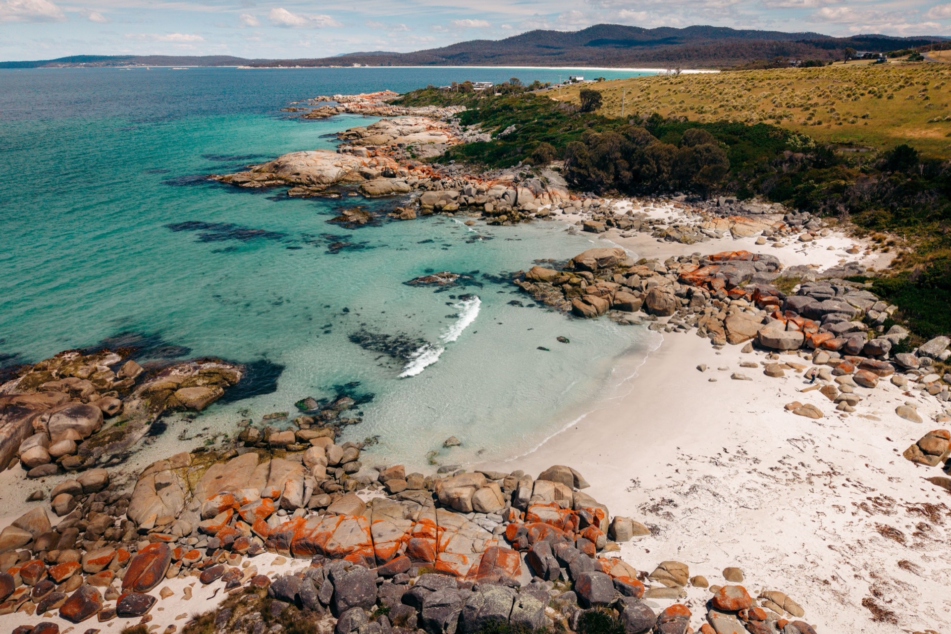
Route overview
Full route · 711 km